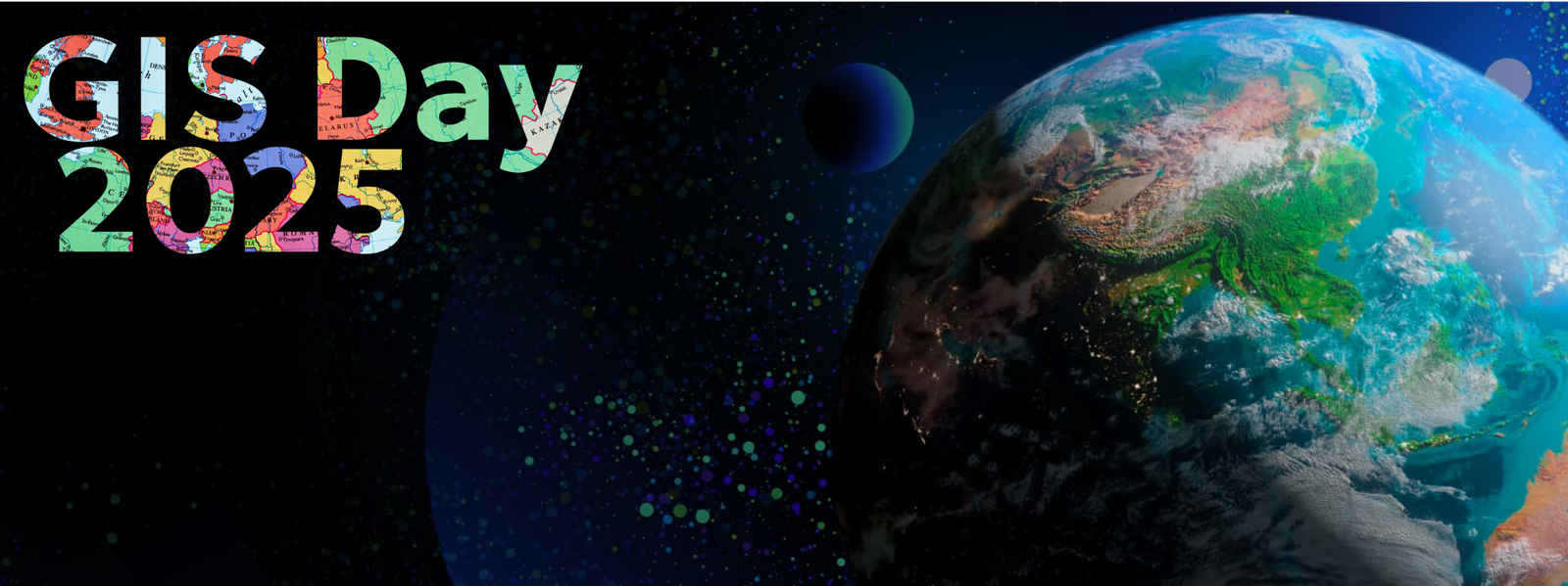
Join the global celebration of geography and GIS technology on November 12, 2025
Register Now for GIS Day 2025
Get free Esri ArcGIS licenses and join the global GIS community
Introduction
Every year, GIS professionals, educators, and students around the globe come together to celebrate GIS Day—a special occasion dedicated to showcasing the power of Geographic Information Systems (GIS). In 2025, this event holds even greater importance as technology continues to reshape the way we understand our world. GIS Day 2025 is not just about maps—it is about how spatial data empowers smarter decisions, builds sustainable communities, and addresses global challenges.
History and Purpose of GIS Day
The first GIS Day was organized in 1999 by ESRI, with the goal of educating people about the role of GIS in everyday life. What began as a small initiative has now evolved into a global movement with thousands of events across universities, schools, government offices, and private organizations. The purpose has always been the same: to inspire curiosity, promote education, and demonstrate how mapping and spatial analysis improve lives.
As we step into GIS Day 2025, the celebration is more than just a tradition—it is a reminder of how technology connects people, places, and problems to create innovative solutions.
The Role of GIS in the Modern World
In today’s interconnected society, GIS is at the heart of decision-making. Governments use it for urban planning, businesses rely on it for location intelligence, and environmentalists harness it for conservation. Some key applications include:
- Urban Planning: Designing smart cities, transportation systems, and housing projects.
- Disaster Management: Tracking floods, earthquakes, and wildfires in real time.
- Healthcare: Mapping disease outbreaks, vaccination centers, and healthcare accessibility.
- Agriculture: Precision farming, soil analysis, and crop monitoring.
- Environment: Monitoring deforestation, biodiversity, and renewable energy projects.
GIS today is not just a tool—it is an ecosystem that combines maps, data, and technology to drive smarter decisions.
GIS Day 2025 Highlights
This year, GIS Day is celebrated with events ranging from workshops and hackathons to community mapping projects and academic conferences. Universities and schools across the world are hosting exhibitions where students showcase their GIS projects. Organizations are arranging open data challenges, allowing participants to use real-world geospatial data to solve problems.
Some highlights include:
Virtual Conferences
Bringing together global experts in GIS and remote sensing.
Community Mapping Drives
Volunteers mapping rural areas to improve accessibility and disaster response.
Technology Showcases
Demonstrations of drones, AI-based mapping tools, and real-time geospatial dashboards.
Youth Engagement
Competitions for students to design interactive maps and present GIS-based solutions.
Emerging Trends in GIS
The future of GIS lies in its integration with advanced technologies:
AI and Machine Learning
Automating spatial analysis for predictive insights.
Remote Sensing and Satellites
Providing high-resolution imagery for research and disaster monitoring.
IoT and Smart Cities
Combining sensors and GIS to optimize energy, water, and traffic systems.
Real-Time Data and Big Data
Using live geospatial data for logistics, weather forecasting, and navigation.
Open-Source GIS Tools
Increasing accessibility for researchers, students, and developing countries.
These innovations are making GIS more interactive, inclusive, and impactful than ever before.
GIS and Global Challenges
In a world facing climate change, natural disasters, and food insecurity, GIS plays a vital role in finding sustainable solutions:
- Climate Change Monitoring: Tracking rising sea levels, glacier melting, and deforestation.
- Disaster Risk Reduction: Using hazard maps and real-time alerts to save lives.
- Food Security: Supporting precision agriculture and ensuring efficient land use.
- Sustainable Energy: Identifying locations for solar farms, wind energy, and hydropower.
GIS is not just about analyzing data—it is about protecting lives, supporting resilience, and building a sustainable future.
Education and Career Opportunities
GIS Day 2025 also focuses on inspiring the next generation of geospatial professionals. With industries ranging from urban development to climate science seeking GIS expertise, the career opportunities are immense.
Students can explore:
- GIS Analysts and Developers
- Remote Sensing Specialists
- Urban Planners
- Environmental Consultants
- Data Scientists with GIS expertise
Educational institutions are offering workshops, scholarships, and internships to encourage youth participation. The demand for GIS talent is only expected to grow, making it one of the most promising fields for the future.
The Future of GIS Beyond 2025
As technology evolves, GIS will become more integrated into every aspect of life. We will see:
- Personalized GIS applications for daily decision-making.
- Stronger global networks for open geospatial data.
- Smarter disaster response systems with AI-powered predictions.
- Broader adoption of 3D and 4D GIS models for real-world simulations.
The future of GIS is limitless—and GIS Day 2025 marks a milestone in this journey.
Conclusion
GIS Day 2025 is more than a celebration—it is a call to action. It reminds us that mapping is not only about geography; it is about solving real-world problems, empowering communities, and shaping a better tomorrow.
As we reflect on this year’s theme, let’s remember: the future is spatial, and GIS is the language that connects us to it.