GIS for Everyone: A Powerful Tool for Learning and Problem Solving
Geographic information systems (GIS) are computer-based tools that allow users to create, store, edit, analyze, and visualize spatial data. GIS has been used for decades by professionals in fields...
Applications of GIS Technology in the Tourism Industry
Geographic Information Systems (GIS) have been increasingly used in various fields, including tourism. GIS technology provides an effective tool for analyzing, interpreting, and visualizing geographic data. In the tourism...
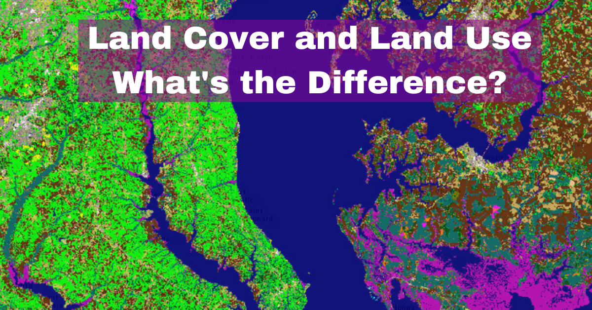
Land Cover and Land Use: What’s the Difference?
The terms land cover and land use are often used interchangeably, but they have distinct meanings. Land cover refers to the physical material at the surface of the earth,...
Comparing QGIS and ArcMap: Which GIS Software is Right for You?
Geographic Information System (GIS) software is a critical tool for geospatial analysis, data visualization, and decision-making in various fields, including environmental management, urban planning, and natural resource management. Two...
The Role of GIS in Revolutionizing Agriculture: Enhancing Productivity, Profitability, and Sustainability
Geographic Information Systems (GIS) have transformed the way we collect, analyze, and interpret spatial data in agriculture. GIS technology can be used to monitor and manage various aspects of...
Understanding the Differences: ArcGIS vs ArcPro”
ArcGIS and ArcPro are two software applications that are widely used in the field of Geographic Information Systems (GIS). Both of these applications are developed and marketed by Esri,...


