Select Tool in ArcMap
ArcMap is a GIS software that is used to view, analyze, and manipulate geographic data. The select tool is one of the most commonly used tools in ArcMap. It...
How to Use the Clip Tool in ArcMap for GIS Analysis
Clip Analysis is a powerful tool used in GIS (Geographic Information System) to extract specific data from a larger dataset. In ArcMap, the Clip tool allows users to extract...
Exploring ArcGIS Online: Features, Benefits, and Use Cases
ArcGIS Online is a web-based geographic information system (GIS) platform developed by Esri, a global leader in GIS technology. It enables users to access and share maps, data, and...
Understanding ArcGIS Shapefile Formats: Types, Extensions, and Usage
Geographic information systems (GIS) have revolutionized the way we work with spatial data. GIS software allows us to store, analyze, and visualize geographic data in ways that were once...
Exploring the Power of Python in GIS
Python is a high-level programming language widely used in Geographic Information Systems (GIS) due to its versatility and ease of use. It is an open-source language with a large...
The Importance of Metadata in GIS: Understanding and Managing Spatial Data
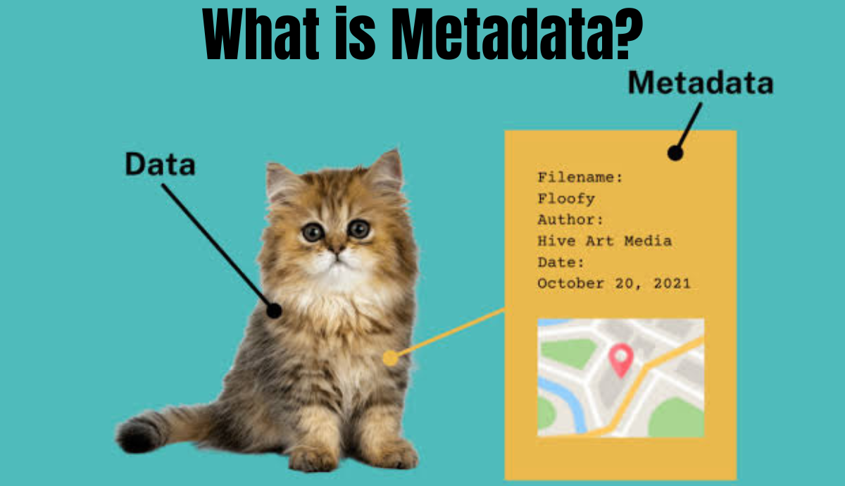
In GIS (Geographic Information System), metadata refers to information about the geographic data or spatial data. It is essentially data that provides context to other data.
GIS metadata can include...


