Skip to content

Remote Sensing & GIS Club

  • Software
  • GIS Blogs
  • Quiz
  • Maps
  • Portfolio
  • Online GIS Tools
  • Software
  • GIS Blogs
  • Quiz
  • Maps
  • Portfolio
  • Online GIS Tools

Home

Blogs

GIS Day 2025

GIS Day 2025 – Mapping the Future with Geospatial Intelligence

Read More »
September 21, 2025 No Comments
ArcGIS for Autodesk Forma

Introducing ArcGIS for Autodesk Forma

Read More »
September 15, 2025 No Comments
pakistan flood map

How the Normalized Difference Water Index (NDWI) Is Used to Map Flooding

Read More »
September 1, 2025 No Comments

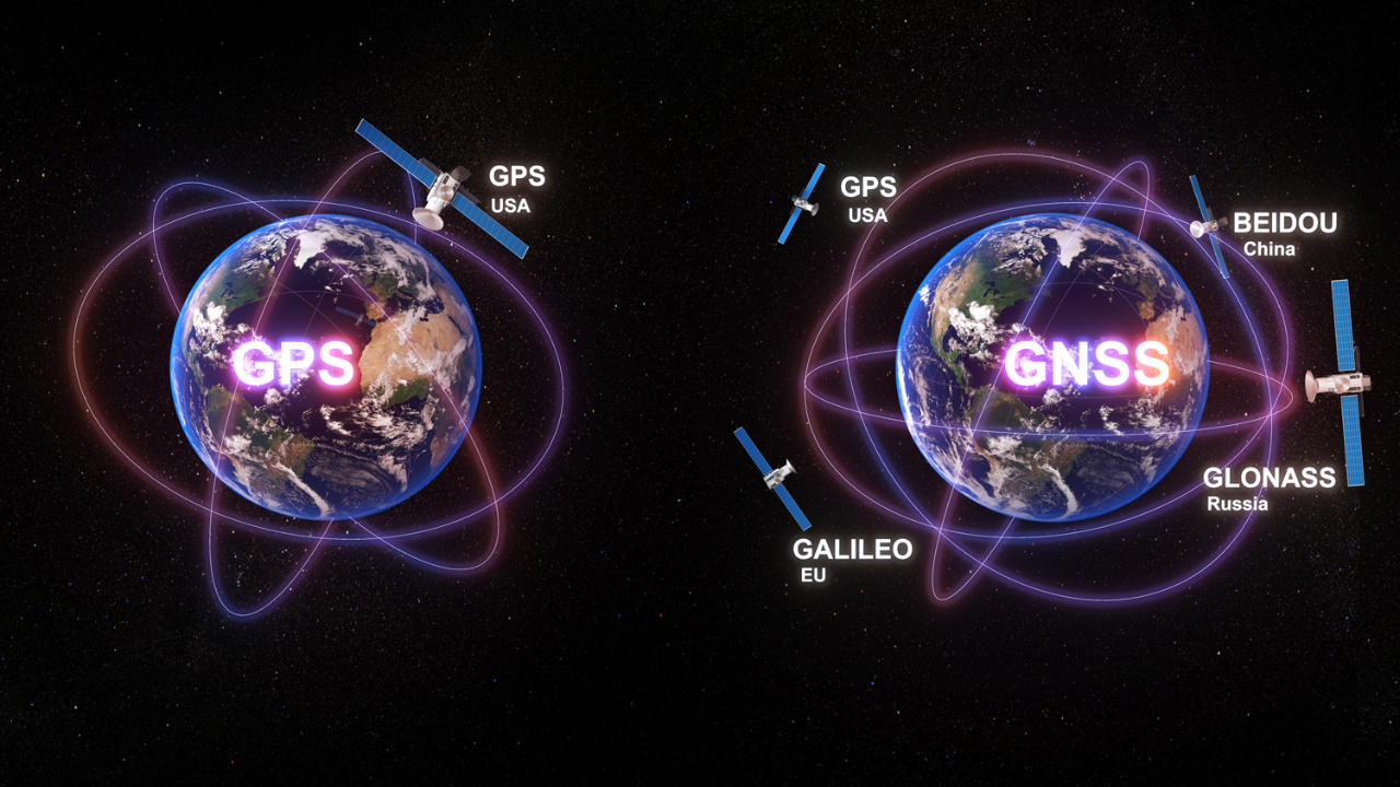
GNSS vs GPS

GNSS vs GPS: What’s the Difference?

Read More »
April 25, 2025 No Comments
« Previous Page1 Page2 Page3 Page4 Page5 Next »

Jobs

◉
RSGIS COMMUNITY

Connect With Us

Follow RSGISClub for GIS tutorials, remote sensing, maps, software and geospatial resources.
Facebook Group
Join our GIS community
→
Facebook Page
Follow RSGISClub
→
YouTube Channel
GIS tutorials & videos
→
LinkedIn
Connect professionally
→
Pinterest
GIS maps & inspiration
→
RSGISClub • GIS Community
⬇
GIS RESOURCES

Software Downloads

Useful GIS and CAD software resources for GIS professionals, students and researchers.
ESRI
ArcGIS Desktop 10.8
GIS Software
→
PRO
ArcGIS Pro 2025
GIS Software
→
CAD
AutoCAD Map 3D
Mapping & CAD
→
GIS
ArcGIS Server Enterprise 10.5
Enterprise GIS
→
RSGISClub • GIS Resources
#
EXPLORE TOPICS

GIS & Remote Sensing

GIS Remote Sensing QGIS ArcGIS Google Earth Engine Python Geospatial Satellite Imagery Land Cover NDVI GIS Mapping Cartography Spatial Analysis Earth Observation ArcGIS Pro GPS Photogrammetry Drone Mapping UTM Georeferencing Digitization LULC GIS Database Spatial Data DEM
Explore GIS tutorials, tools & resources →
▶
RSGISCLUB VIDEO

Featured GIS Video

RSGISClub • GIS Tutorials & Resources

All Rights Reserved @rsgisclub.com