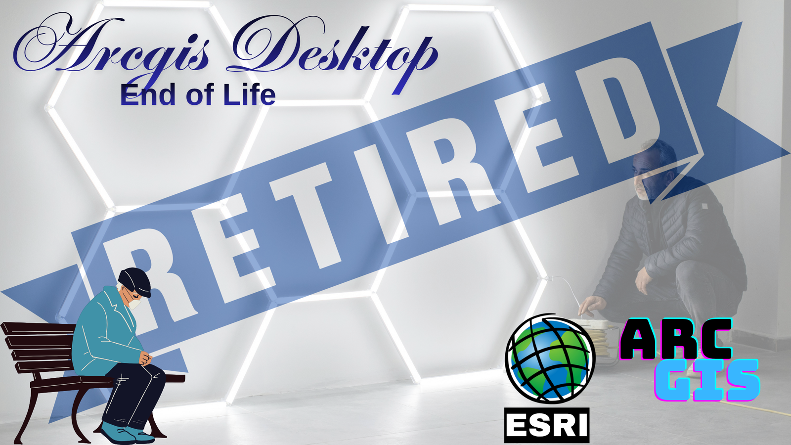
ArcGIS Desktop End of Life: What It Means and How to Prepare
Learn what ArcGIS Desktop end of life means, how it impacts users, and the key steps to smoothly migrate and prepare for future GIS workflows.
Learn what ArcGIS Desktop end of life means, how it impacts users, and the key steps to smoothly migrate and prepare for future GIS workflows.
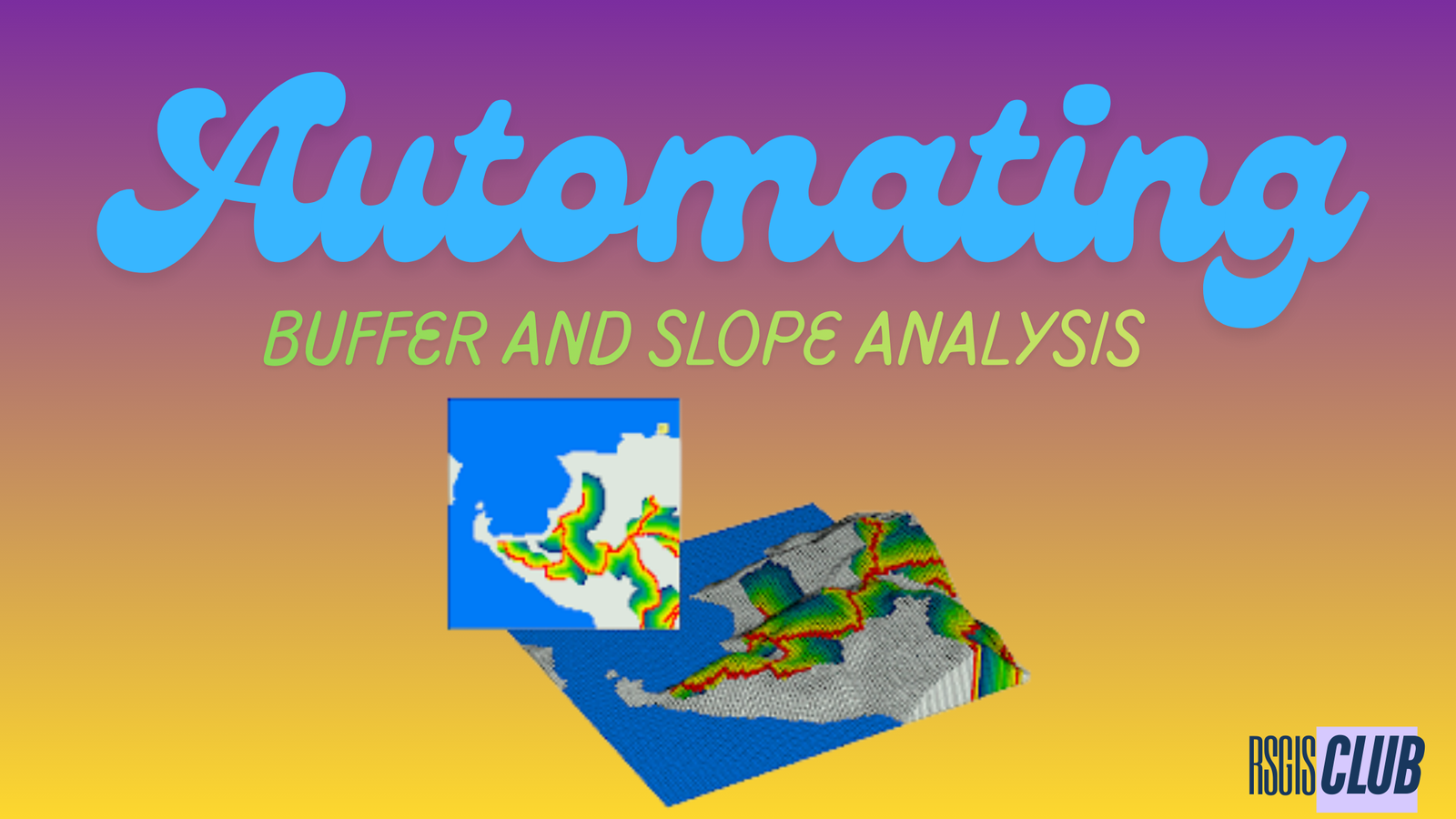
Introduction Geospatial projects often require performing the same operations repeatedly—such as generating buffers for multiple administrative units, processing numerous raster datasets, or applying identical spatial …

When it comes to reliability, one of the most common questions professionals ask is: which laptop brand can truly be trusted? The answer matters more …
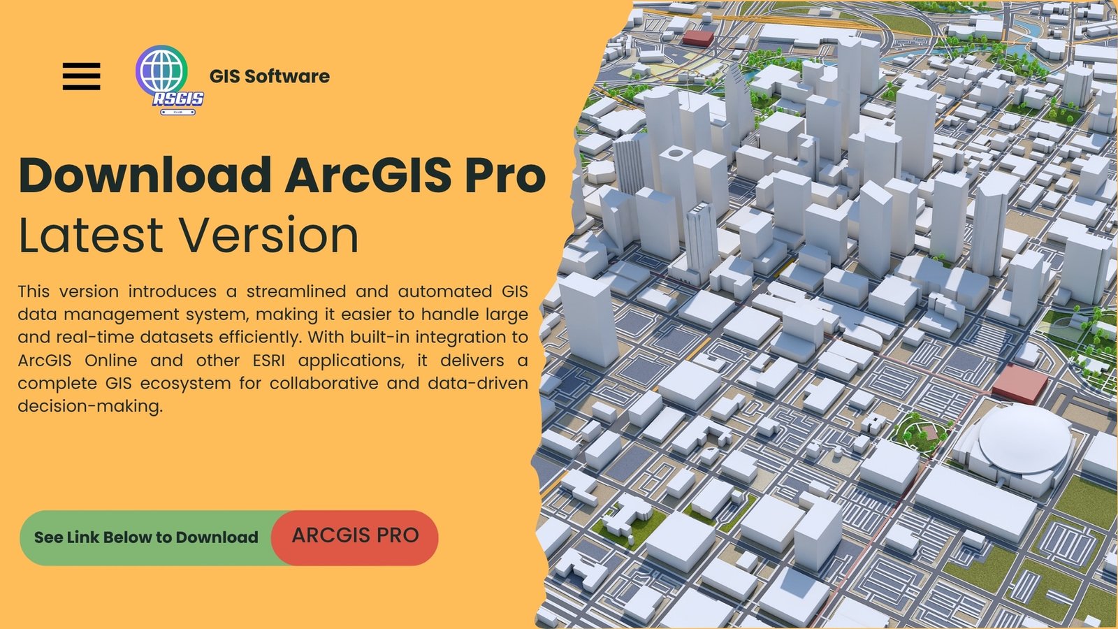
ESRI ArcGIS Pro 2025 Overview ESRI ArcGIS Pro 2025 is the latest flagship GIS software by ESRI, designed to provide a powerful yet intuitive platform …
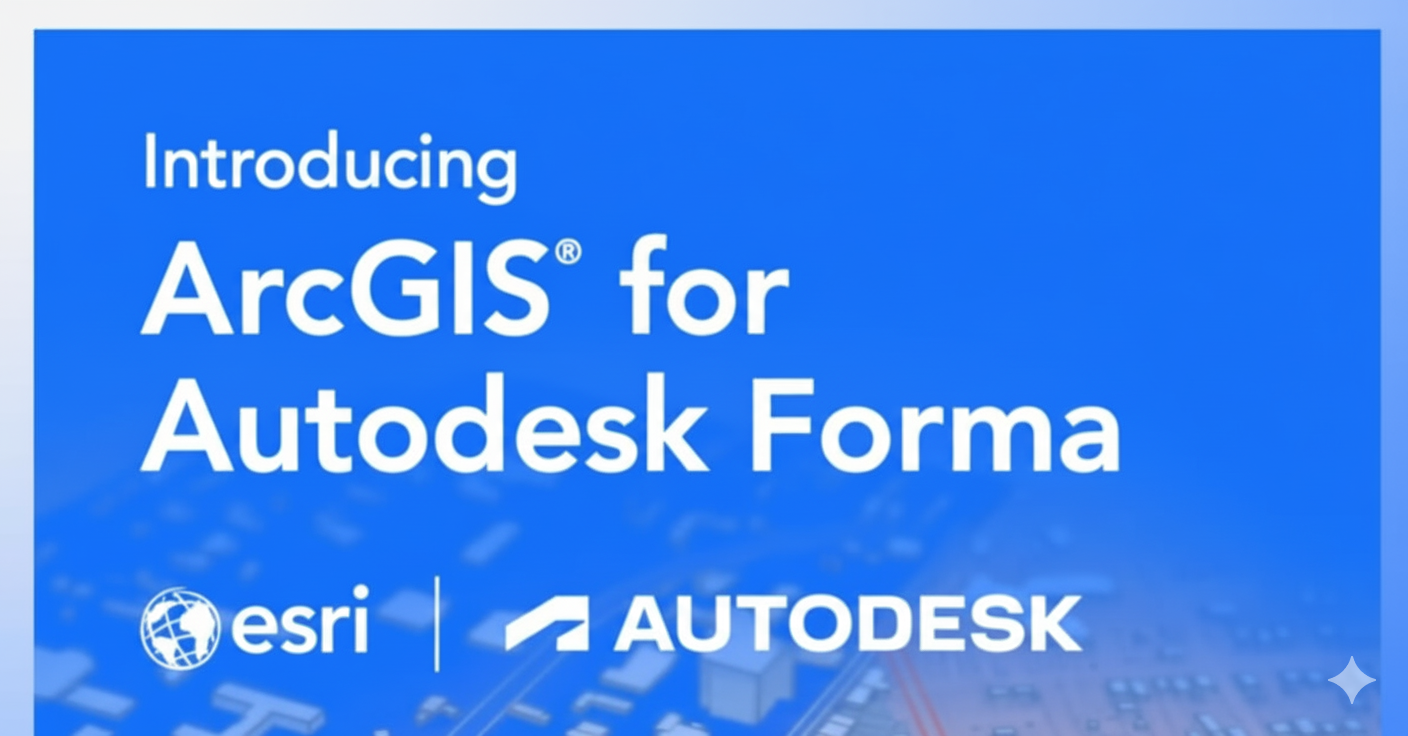
For architects, engineers, and planners, great design begins with the right tools—and the right context. While cloud-based platforms like Autodesk Forma excel in the pre-design …

What’s the Difference Between GNSS and GPS? GNSS stands for Global Navigation Satellite System. Think of GNSS like a big group or team of satellite …
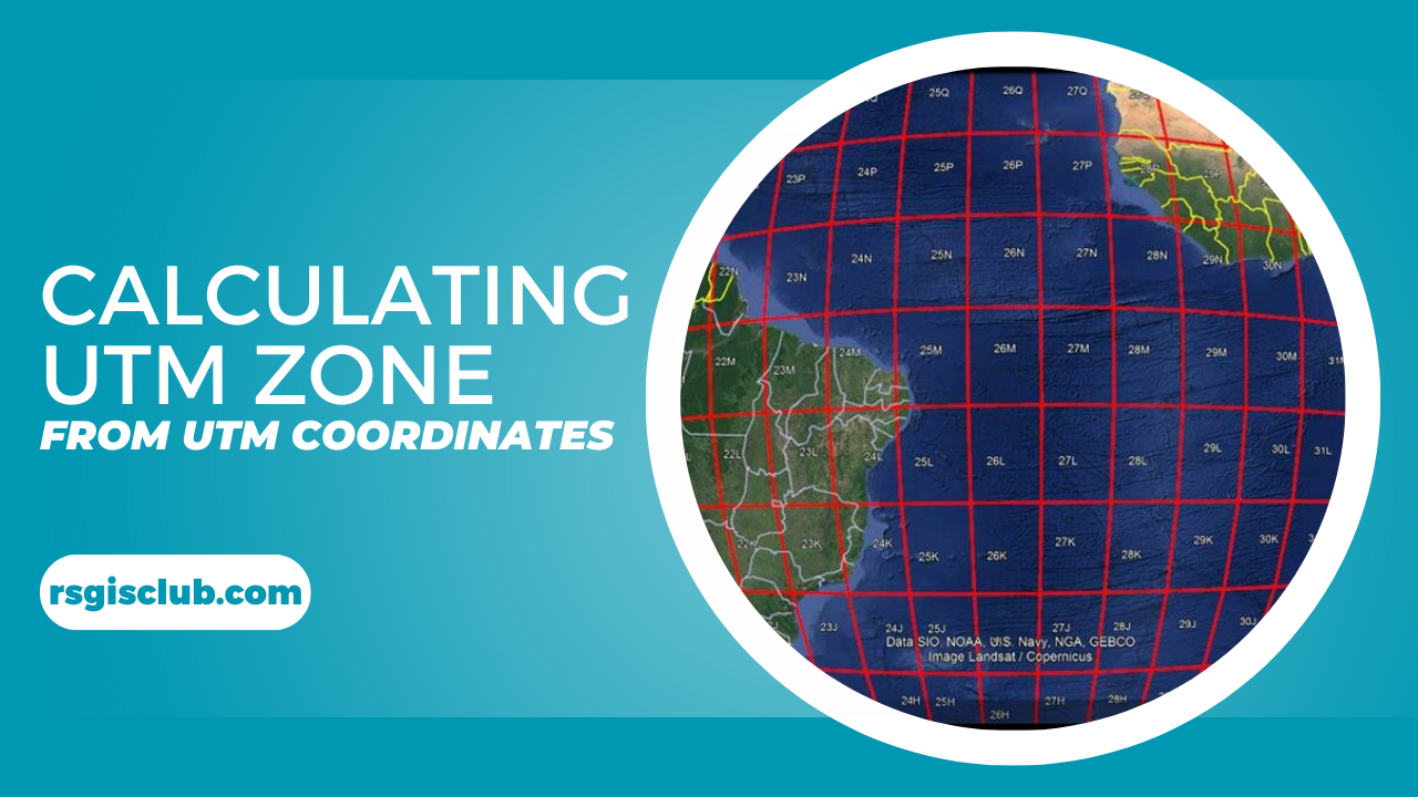
Introduction In 2021, a construction crew in Colorado accidentally bulldozed the wrong plot of land—a $200,000 mistake traced to a decimal place error in geographic …

Geographic Information Systems (GIS) have become an essential tool for solving complex spatial problems across industries. At the heart of this technology is the GIS consultant, …

Learn how to download and work with CityEngine 2024.1. Discover system requirements, new features, and get detailed guidance to transform your urban design projects.
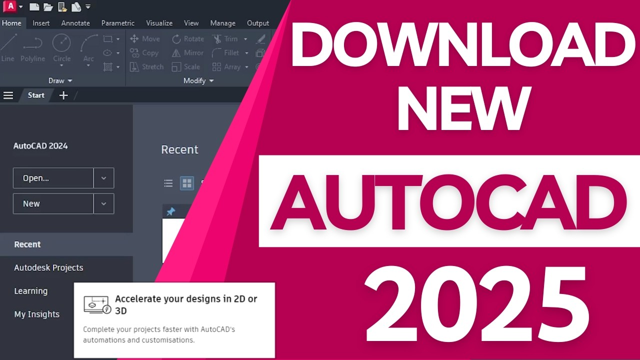
Overview of Autodesk AutoCAD 2025 Autodesk AutoCAD 2025 is a top-notch 3D CAD program used in architecture, engineering, and construction. It helps users plan, design, …