
GIS File Formats
GIS Formats: Don’t Get Confused! Dealing with unknown GIS file formats can be frustrating for GIS analysts. But don’t worry, we’ve got you covered! We’ve …
GIS Formats: Don’t Get Confused! Dealing with unknown GIS file formats can be frustrating for GIS analysts. But don’t worry, we’ve got you covered! We’ve …
Thinking about making extra money with GIS? I’m not super excited about freelance GIS work. There are some downsides, like no steady paycheck, no benefits, …
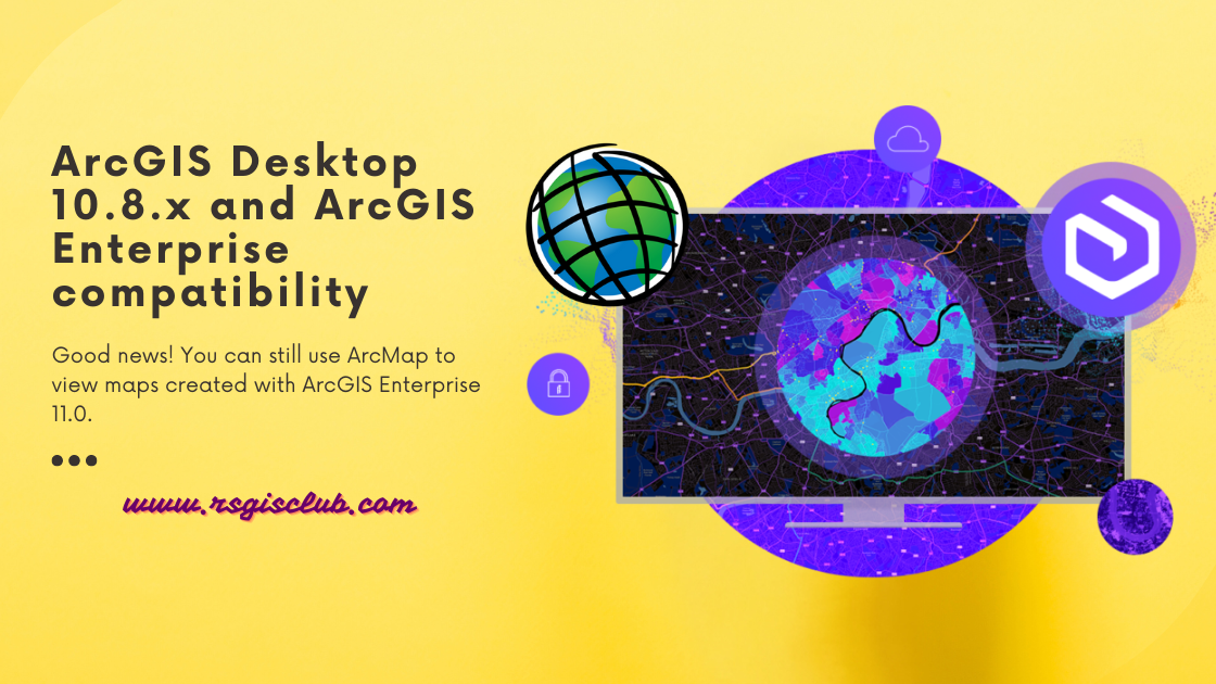
ArcGIS Desktop is getting old and won’t be supported after March 1, 2026. That means there won’t be any more updates or new versions for …
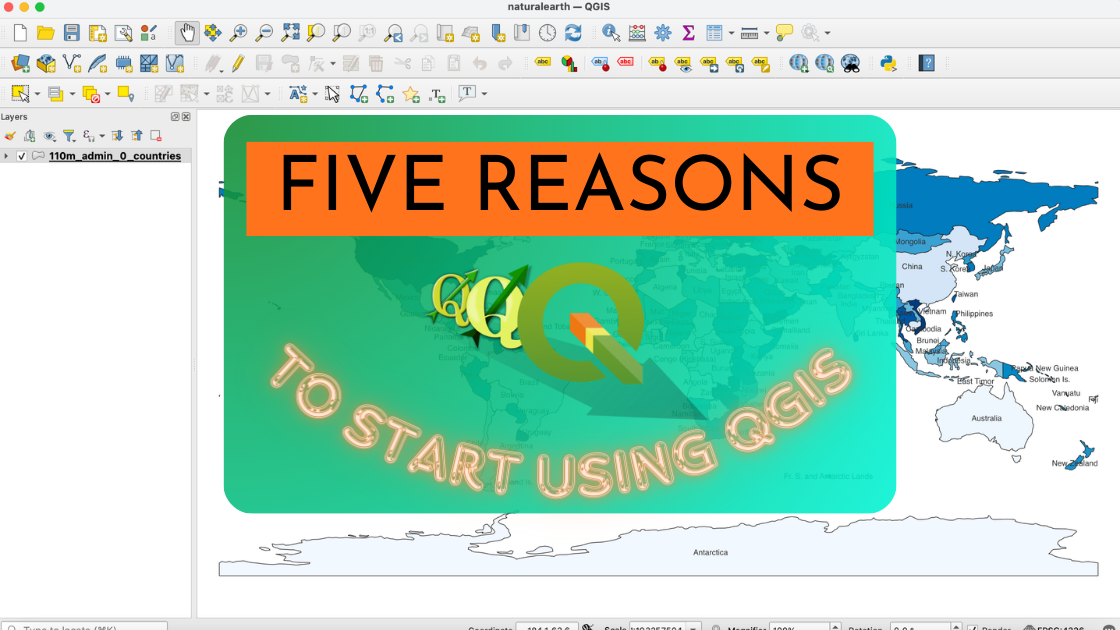
If you’re unsure about trying out the open source GIS platform called QGIS, here are five really good reasons why you should give it a …
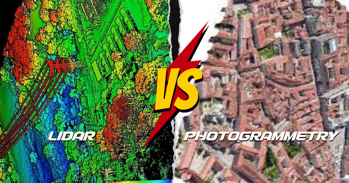
What’s the Difference? LiDAR and photogrammetry are cool ways to make maps of the Earth, but they do it differently. LiDAR is like using a …
What is Google Earth Engine (GEE)? Google Earth Engine (GEE) is a platform in the cloud that provides a massive collection of satellite imagery for …
Are you new to GIS and eager to step into the exciting world of Geographic Information Systems? Numerous GIS professionals have already paved the way …
In the realm of content creation, three crucial factors come into play: “perplexity,” “burstiness,” and “predictability.” Perplexity serves as the barometer of text complexity. Meanwhile, …
Request For Data Pakistan, with its diverse geography and stunning landscapes, boasts a wide array of water bodies that contribute significantly to the nation’s beauty, …
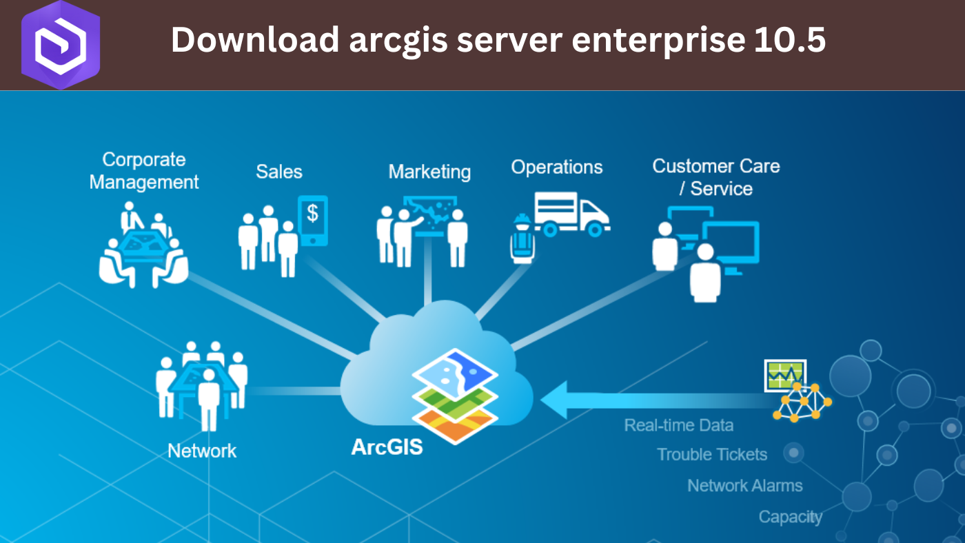
ArcGIS Server Enterprise 10.5 is a powerful tool in the world of geography and mapping. It might sound complex, but let’s break it down in …