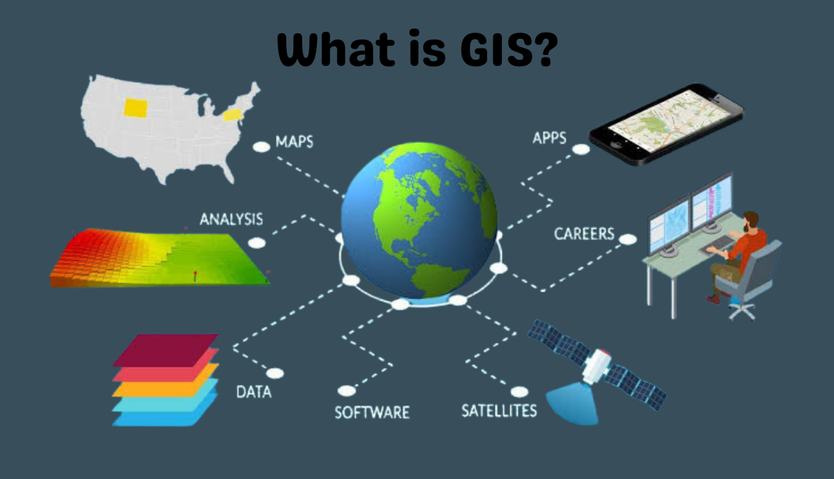
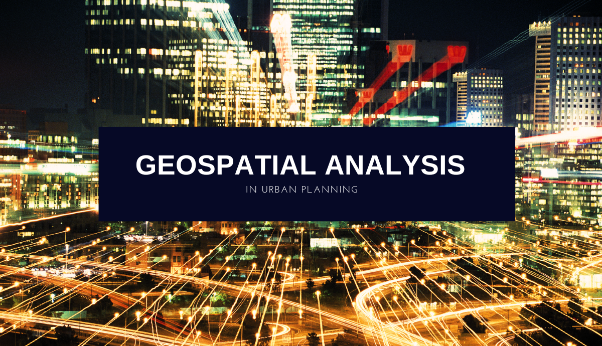
Geospatial Analysis in Urban Planning: Tools for Creating Livable, Sustainable, and Equitable Cities
Urban planning and development are complex processes that involve many different factors, such as land use, transportation networks, environmental impacts, and social and economic considerations. Geospatial analysis provides a powerful set of tools to analyze and visualize spatial data, which can help urban planners and policymakers make informed decisions and create more livable, sustainable, and … Read more