Whether you’re someone who studies Earth science, a person really interested in geography, or just someone curious about the world, there are many different types of remote sensing software out there to assist you with your tasks.
These 15 remote sensing software packages are the top choices when it comes to tasks like sorting through detailed aerial images or making advanced 3D models. Let’s jump in and explore them!
1. ERDAS Imagine
At the forefront of our list is ERDAS Imagine, ranking as the top remote sensing and image analysis software suite. Developed by Hexagon Geospatial, it boasts the capability to handle diverse geospatial data, including satellite imagery, aerial photography, LiDAR point clouds, digital elevation models, and other GIS data. With advanced image processing, 3D visualization, and feature extraction, ERDAS Imagine is a powerhouse, making it a preferred choice in industries such as agriculture, forestry, mining, engineering, urban planning, and defense.
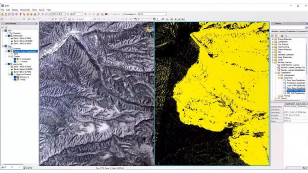
2. ENVI
Hailing from NV5 Geospatial, ENVI is an advanced remote sensing software platform that leverages cutting-edge image processing technology. Users can extract information swiftly from satellite, airborne, and various imagery sources. ENVI’s comprehensive set of features covers image enhancement, feature extraction, segmentation, statistical analysis, change detection, and visualization. With support for diverse data formats, including Maxar, Airbus, and Planet, ENVI stands out as a versatile tool with powerful automation capabilities through ENVI modeler.

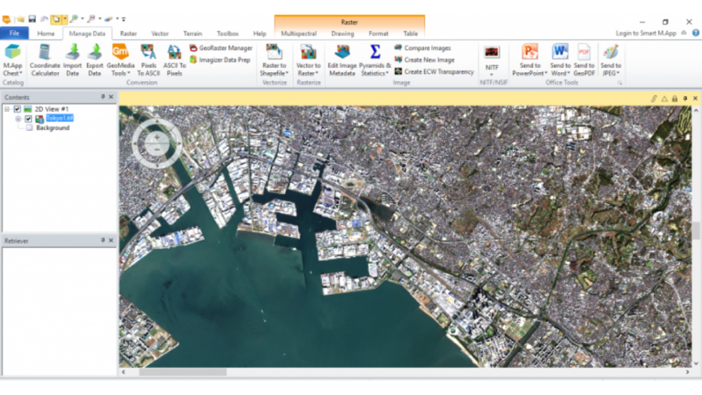
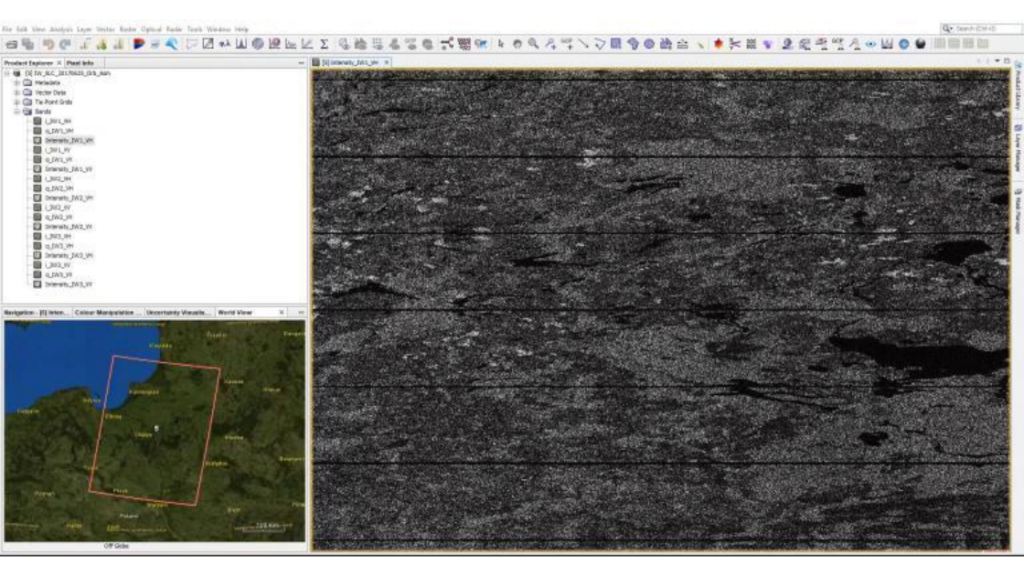
3. PCI Geomatica (Catalyst)
Developed by Canadian company PCI Geomatics, PCI Geomatica is an advanced suite widely used by scientists, researchers, and GIS professionals globally. Since 1982, it has been a reliable foundation for processing satellite imagery, aerial photography, digital elevation models, and SAR/InSAR data. Despite its slightly dated interface, PCI Geomatica offers core tools like mosaicking, photogrammetry, and terrain analysis. Its plug-and-play feature extraction capabilities make it easy to detect features in digital images using algorithms like OBIA, supervised and unsupervised classification.
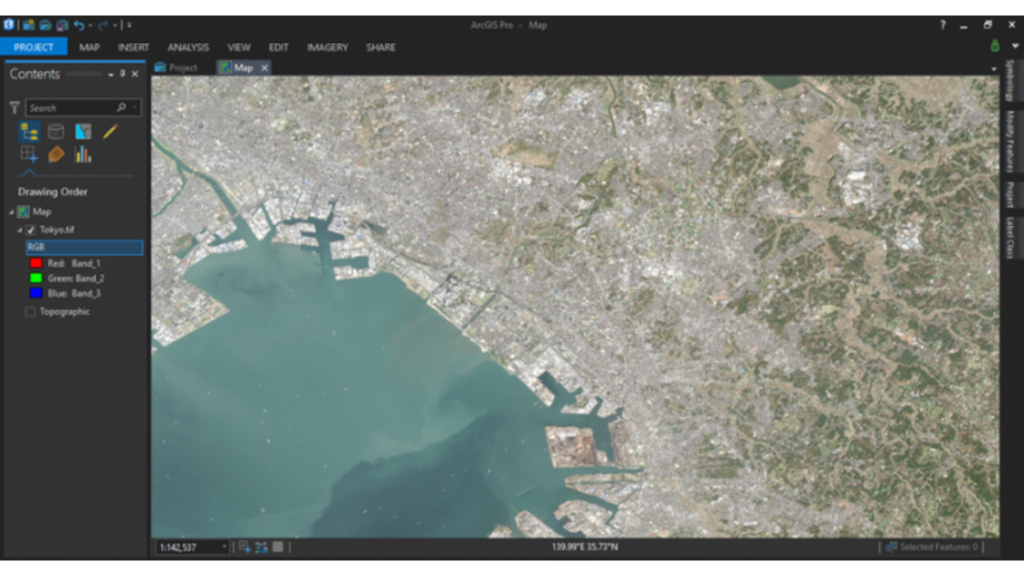
4. ArcGIS Pro
ArcGIS Pro stands out for its robust Image Analysis extension, providing a set of tools for advanced image analysis tasks. Users can create and modify raster datasets, visualize and explore imagery, and conduct sophisticated analyses such as terrain analysis, image classification, and spectral analysis. The extension facilitates the quick processing of large amounts of imagery and extraction of valuable information. The Image Analysis workflows enable tasks like time-series analysis and change detection with deep learning.
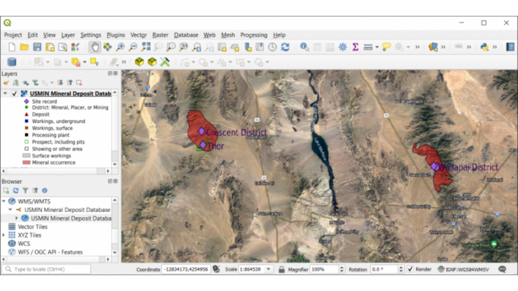
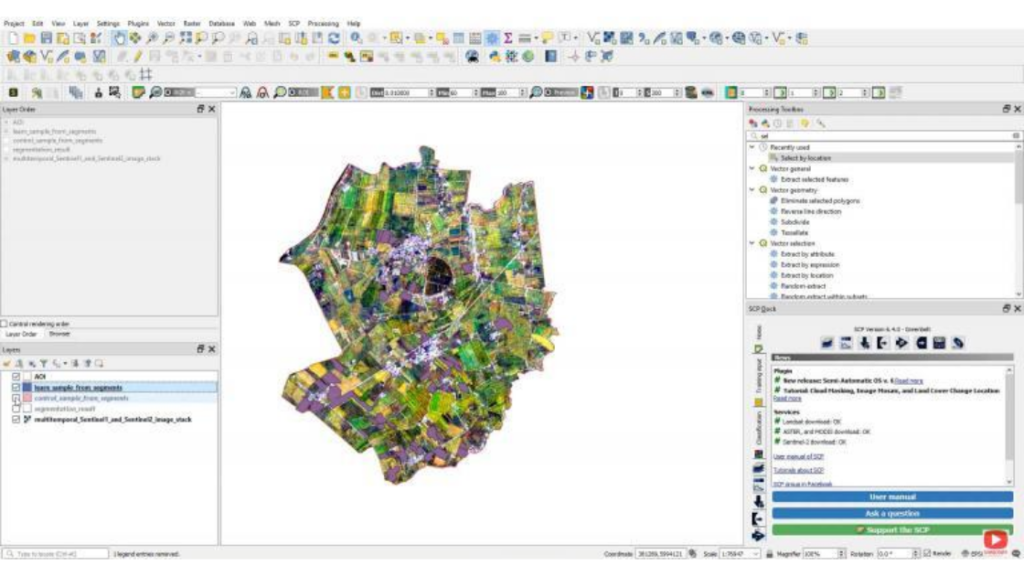
5. QGIS 3
Loaded with default remote sensing tools like raster analysis, terrain analysis, and interpretation toolboxes, QGIS 3 offers versatility beyond its own toolset. Users can leverage capabilities from SAGA GIS, GDAL, and GRASS GIS. Known for its extensibility through plugins, one popular remote sensing plugin is the free open-source Semi-Automatic Classification Plugin (SCP) plugin. SCP provides features for downloading and classifying satellite imagery, pre-processing, post-classification improvement, and accuracy assessment.
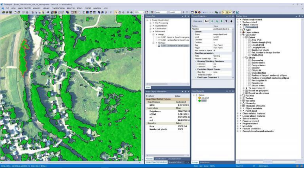
6. Trimble eCognition
Specializing in feature extraction through object-based image analysis (OBIA), Trimble eCognition utilizes pattern-recognition algorithms to divide imagery into meaningful objects. While excelling in land cover classification, it falls short of being a complete remote sensing suite, lacking common tools such as georeferencing, 3D visualization, or SAR capabilities.
7. Whitebox GAT
Whitebox GAT, an open-source geospatial analysis tool, offers an advanced toolbox for working with remote sensing data. Known for its hydrological tools, Whitebox GAT’s extensive library of functions makes it suitable for various tasks, including working with raster and vector data, supporting spatial interpolation methods, and providing a comprehensive suite of terrain analysis tools. It also excels in LiDAR capabilities.
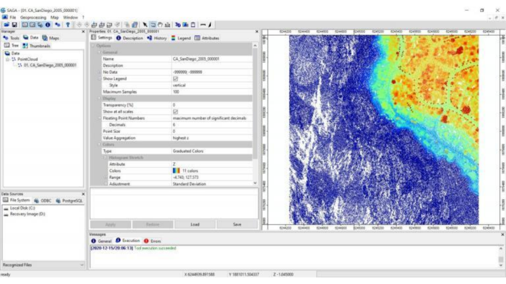
8. SAGA GIS
Despite being a bit rough around the edges as an older remote sensing software, SAGA GIS provides a wide range of features for basic data processing and analysis tasks related to remote sensing. From mosaic, clip, and split imagery to transforming image projections, SAGA GIS offers tools for analyzing vegetation indices, calculating surface area, and extracting features from digital elevation models.
Stay tuned for the continuation, where we explore PolSARPro, GRASS GIS, ILWIS, Orfeo Toolbox, Global Mapper, Feature Manipulation Engine, and gvSIG, each offering unique capabilities for remote sensing and geographic data analysis. Whether you’re a professional or an eighth-grade enthusiast, these tools are your gateway to the world of Earth observation and analysis.
9. PolSARPro
PolSARPro, short for Polarimetric SAR Data Processing and Education Toolbox, specializes in radar imagery analysis. Designed for various satellite sensors, including ALOS-1, COSMO-SkyMed, RADARSAT-2, TerraSAR-X, and TanDEM-X, PolSARPro is an advanced software package. It offers detailed insights into surface features, soil moisture, and other Earth surface characteristics derived from radar-based measurements.
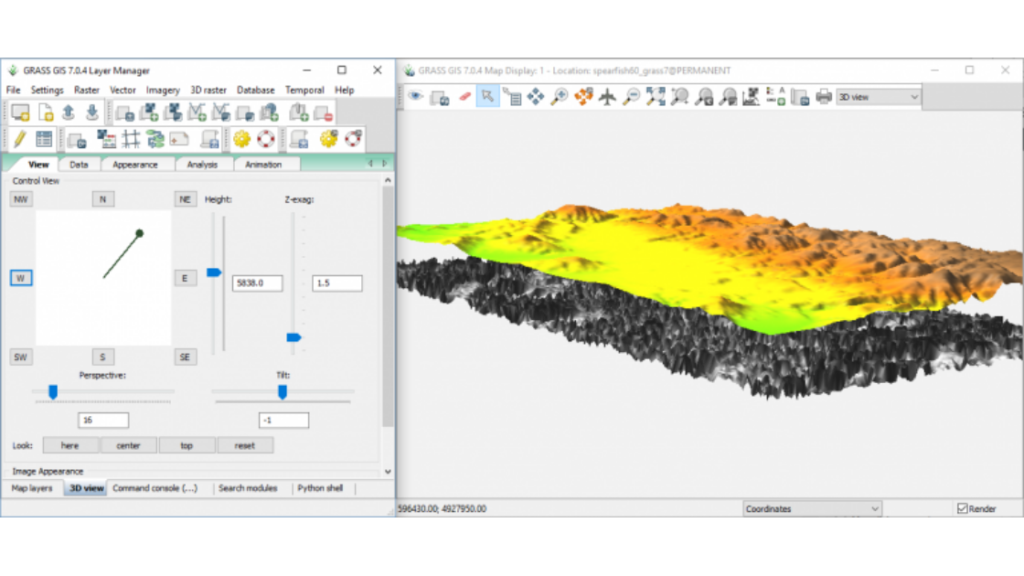
10. GRASS GIS
A stalwart in the open-source GIS world, GRASS GIS remains a reliable choice for remote sensing applications. Offering advanced tools for LiDAR data, such as point cloud classification, filtering, and interpolation, GRASS GIS can be used both as a standalone application and leveraged within QGIS 3. Similar to SAGA GIS, it provides a versatile toolkit for image classification, enhancement, registration, and comprehensive data visualization.
11. ILWIS
ILWIS, or Integrated Land and Water Information System, is a geographic information system (GIS) developed by ITC in the Netherlands. Widely used for applications like land use planning, land cover analysis, soil mapping, water management, and environmental monitoring, ILWIS serves as a robust tool for storing, managing, and analyzing spatial data.
12. Orfeo Toolbox (OTB)
Developed by the French Space Agency (CNES), Orfeo Toolbox (OTB) is an open-source library of image processing algorithms. Written in C++, OTB runs on Windows, Mac OS X, and Linux. Offering a variety of ready-to-use algorithms for remote sensing and digital image processing, OTB is a valuable resource for users seeking flexibility and customization.

13. Global Mapper
Global Mapper excels in displaying both topographic and satellite imagery, providing users with accurate visualization and analysis tools for terrain in any location. With features such as digitizing, line of sight calculations, and volume calculations, Global Mapper is user-friendly yet powerful, catering to a wide range of spatial analysis needs.
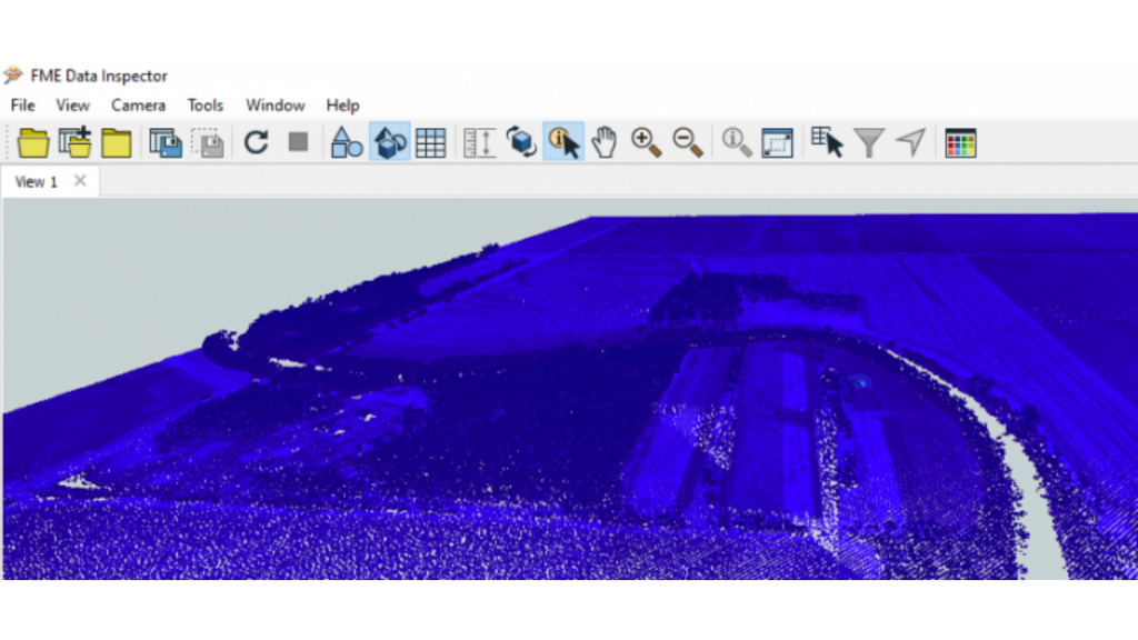
14. Feature Manipulation Engine (FME)
Known for its prowess in interoperability and automation, the Feature Manipulation Engine (FME) incorporates numerous raster transformers into workbenches. FME can process data from various remote sensing sources, including aerial photography, LiDAR, and multispectral imagery. Notably, FME is making strides in computer vision and deep learning, allowing users to automate remote sensing workflows for faster and more efficient data analysis.
15. gvSIG
Closing our exploration is gvSIG, a widely-used free and open-source software for geographic data analysis, remote sensing, and geospatial modeling. Offering tools and features for capturing, processing, and analyzing satellite data, gvSIG is equipped with capabilities to work with various remote sensing data formats. It provides advanced tools for georeferencing, orthorectification, and mosaicking.
Remote sensing is a powerful tool for making data useful and practical. If you need a specific remote sensing software package, we suggest using ERDAS Imagine, ENVI, or PCI Geomatica.
For those interested in strong GIS capabilities and a top-notch mapping platform, ArcGIS Pro and QGIS 3 are excellent choices. If your focus is on land cover classification using OBIA, Trimble eCognition is the way to go, while PolSARPro is designed for radar-based imagery.
Lastly, if you’re seeking open-source remote sensing software, your best options are QGIS 3, Whitebox GAT, GRASS GIS, and SAGA GIS.