
Top 15 Python Libraries for GIS
Python Libraries for GIS and Mapping Python libraries are great tools for GIS because they help you do a lot more with it. Using Python …
Python Libraries for GIS and Mapping Python libraries are great tools for GIS because they help you do a lot more with it. Using Python …

Whether you’re someone who studies Earth science, a person really interested in geography, or just someone curious about the world, there are many different types …

Introduction ArcMap is a cartographer’s dream, offering a multitude of tools to create visually captivating maps. Whether you’re a seasoned GIS professional or just starting …
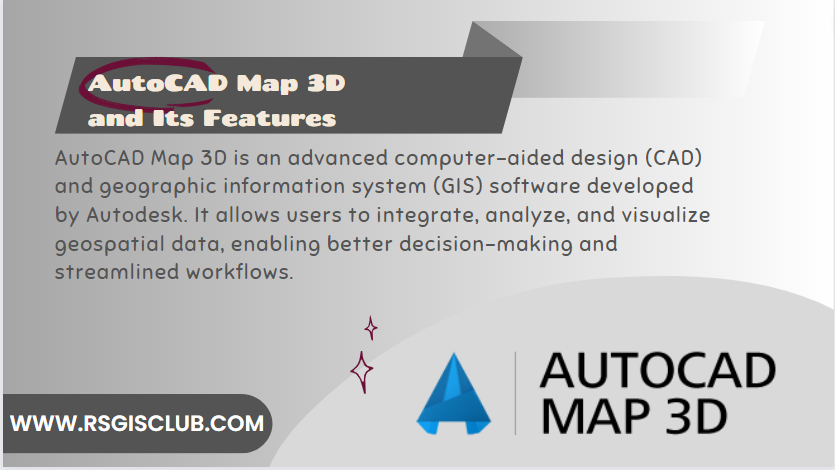
Introduction AutoCAD Map 3D is a powerful software application that combines traditional computer-aided design (CAD) capabilities with the functionality of geographic information systems (GIS). It …
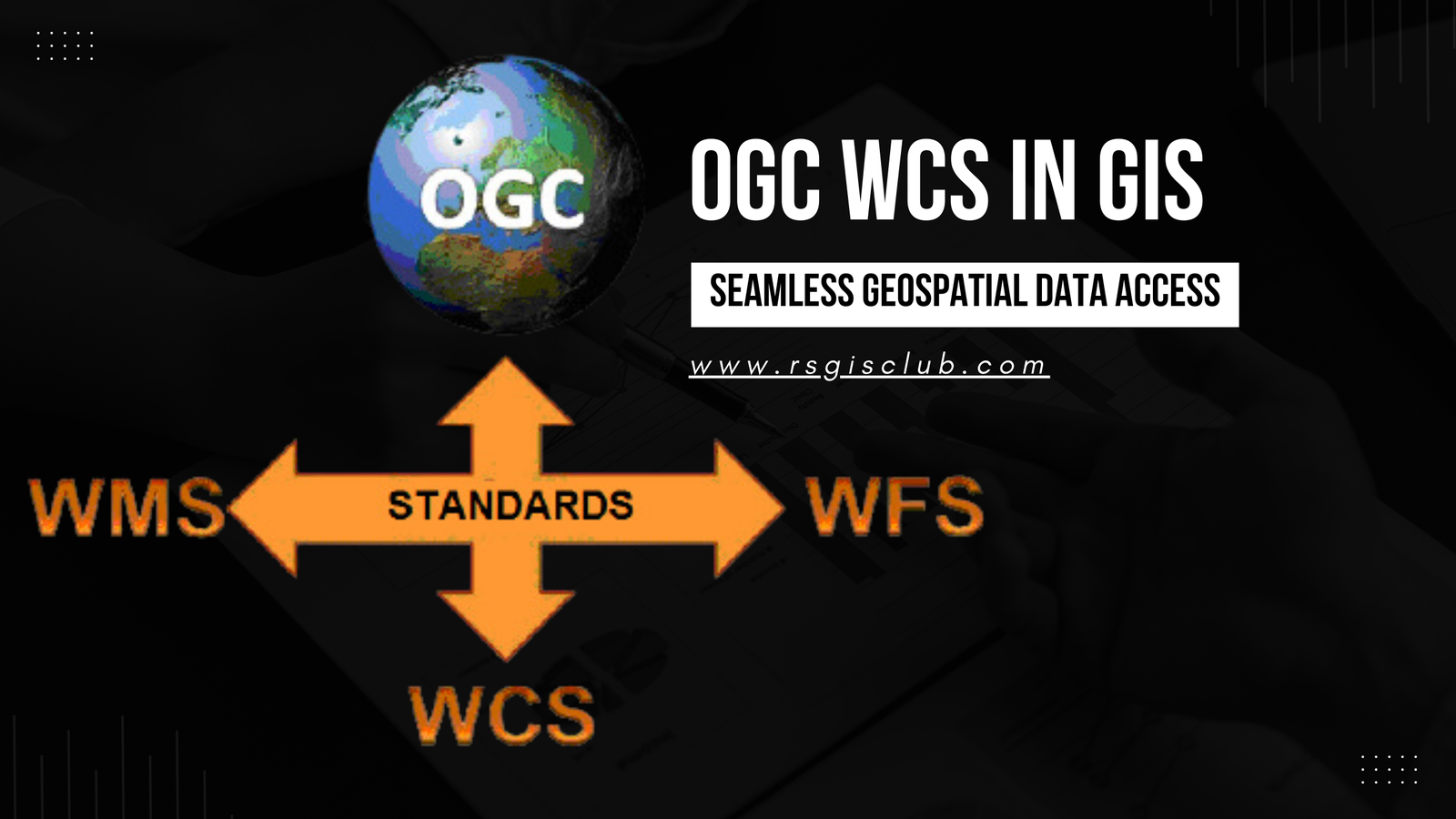
In the realm of Geographic Information Systems (GIS), the efficient management and dissemination of geospatial data are of paramount importance. The Open Geospatial Consortium (OGC) …
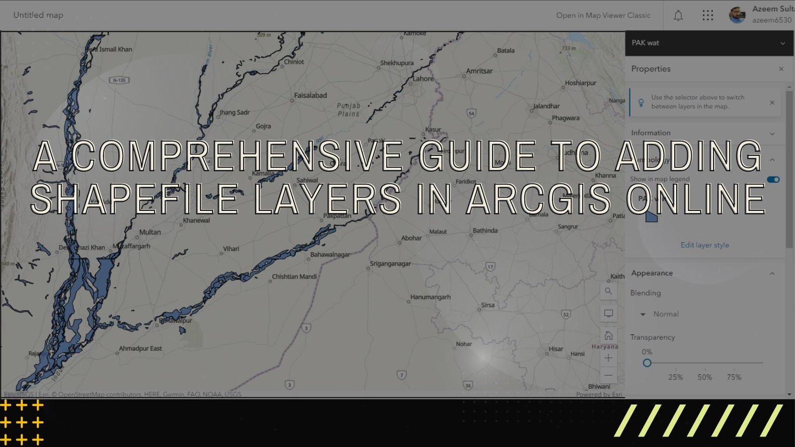
ArcGIS Online is a versatile and user-friendly platform that enables users to explore, analyze, and share geographic data. One of the fundamental tasks in ArcGIS …