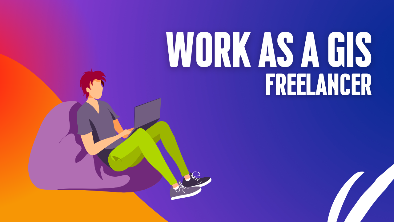
GIS Freelancing: Is It Possible?
Thinking about making extra money with GIS? I’m not super excited about freelance GIS work. There are some downsides, like no steady paycheck, no benefits, …
Thinking about making extra money with GIS? I’m not super excited about freelance GIS work. There are some downsides, like no steady paycheck, no benefits, …
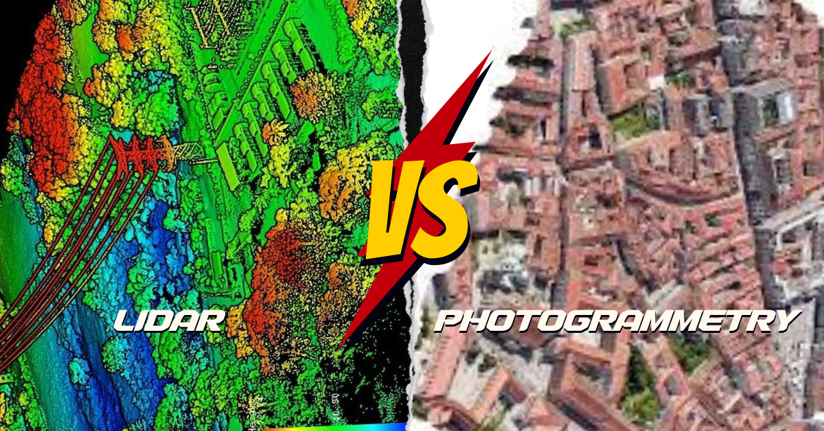
What’s the Difference? LiDAR and photogrammetry are cool ways to make maps of the Earth, but they do it differently. LiDAR is like using a …
Map symbols include icons, colors, lines, and visual elements that convey information about the physical world. These symbols help communicate details such as roads, rivers, …

Picture your GIS software not only being knowledgeable but also continually learning, becoming more intelligent and adept at understanding the world around us. Welcome to …
What is Google Earth Engine (GEE)? Google Earth Engine (GEE) is a platform in the cloud that provides a massive collection of satellite imagery for …
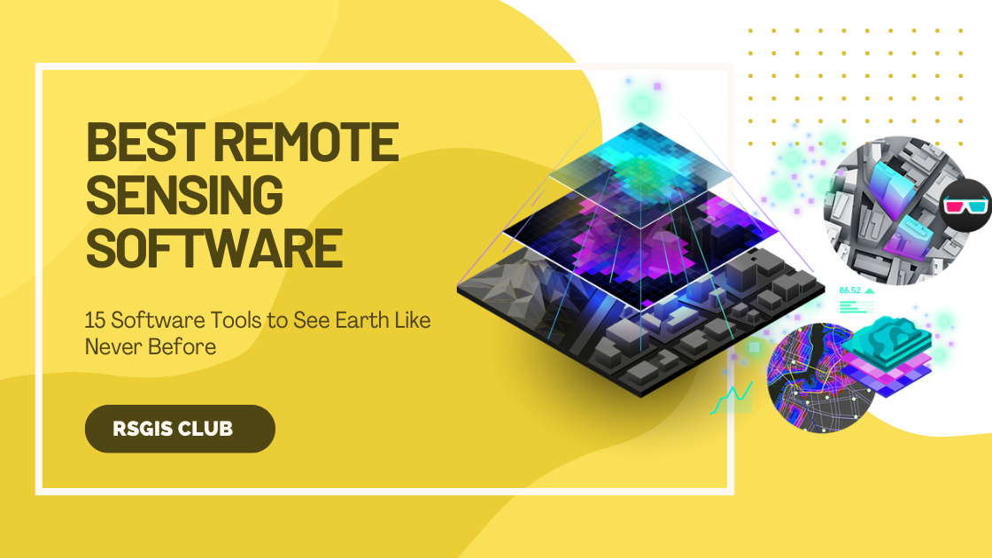
Whether you’re someone who studies Earth science, a person really interested in geography, or just someone curious about the world, there are many different types …
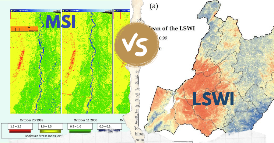
In the realm of remote sensing, the Leaf-Water Stress Index (LSWI) and the Moisture Stress Index (MSI) stand out as key tools for assessing vegetation …
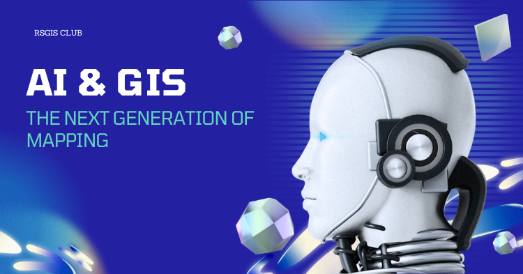
Exploring the Impact of AI on GIS Let’s dive into the world where artificial intelligence (AI) intersects with Geographic Information Systems (GIS). Before we begin, …
Are you new to GIS and eager to step into the exciting world of Geographic Information Systems? Numerous GIS professionals have already paved the way …
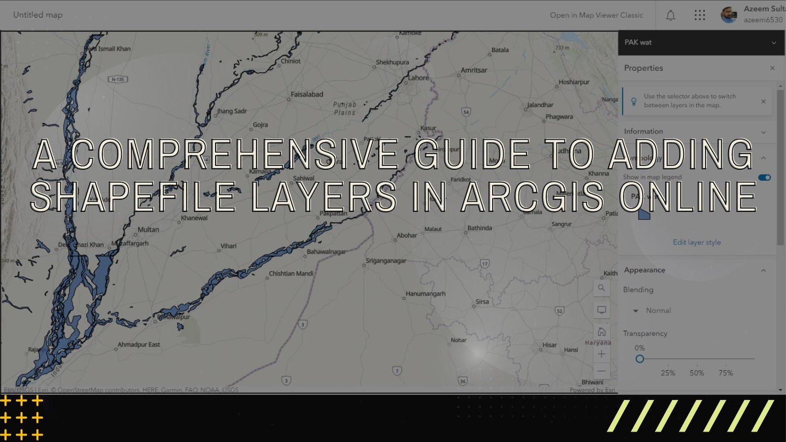
ArcGIS Online is a versatile and user-friendly platform that enables users to explore, analyze, and share geographic data. One of the fundamental tasks in ArcGIS …