
Top 15 Python Libraries for GIS
Python Libraries for GIS and Mapping Python libraries are great tools for GIS because they help you do a lot more with it. Using Python …
Python Libraries for GIS and Mapping Python libraries are great tools for GIS because they help you do a lot more with it. Using Python …
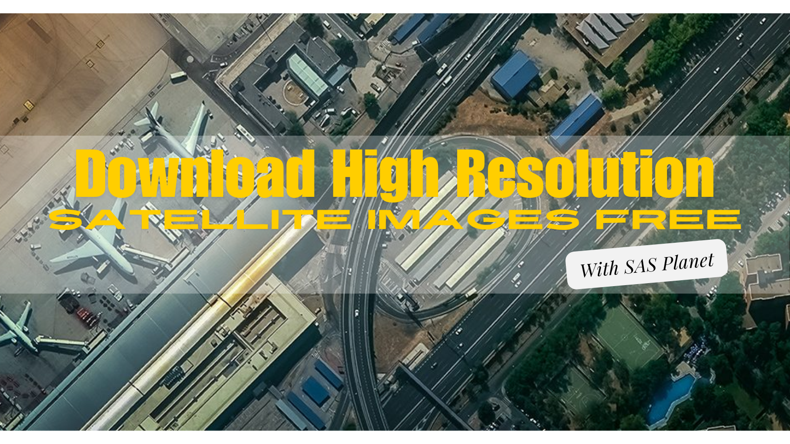
Exploring the World with SAS Planet Nowadays, exploring the world is easier than ever because of digital technology. With advanced maps and satellite imagery, we …

Picture your GIS software not only being knowledgeable but also continually learning, becoming more intelligent and adept at understanding the world around us. Welcome to …
What is Google Earth Engine (GEE)? Google Earth Engine (GEE) is a platform in the cloud that provides a massive collection of satellite imagery for …
Whether you’re someone who studies Earth science, a person really interested in geography, or just someone curious about the world, there are many different types …
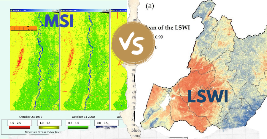
In the realm of remote sensing, the Leaf-Water Stress Index (LSWI) and the Moisture Stress Index (MSI) stand out as key tools for assessing vegetation …
Since the iconic Blue Marble photograph taken by Apollo 17 in 1972, our understanding of Earth has been rooted in static imagery. But have you …