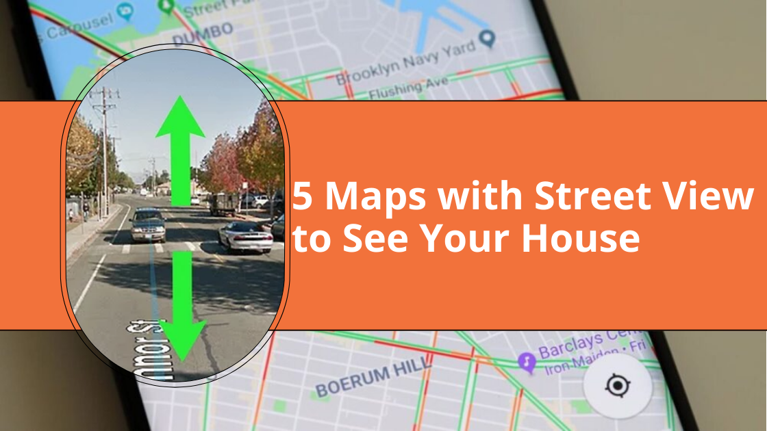
Maps with Street View Feature
Last year, I wanted to plan a trip to San Francisco but couldn’t decide which hotel to book. Luckily, with maps featuring street views, I could explore the streets of San Francisco right from my living room. I just wanted to make sure it was safe.
Today, let’s look at 5 maps with street view (alternatives to street view) so you can get an idea of the area. But think of all the possibilities! And for those of you curious about seeing your house, you can do that too.
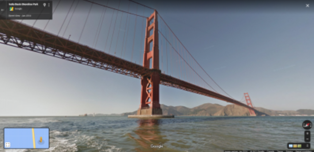
Google Street View
At the top of the list is Google Street View. Google has traveled more than 10 million miles worldwide with a 360-degree camera. They didn’t just use cars; they also used boats, scuba gear, snowmobiles, and even camels to collect Street View images.
How much has Google collected? Well, they have gathered over 220 billion Street View images from over 100 countries and territories. That’s a huge collection!
Keep in mind that Google also includes photos from contributors. This is handy for areas that are harder to reach. Plus, it offers a different perspective at different times of the day.

Mapillary
Think of Mapillary as a big scrapbook of photos from all over the world. But it’s not just any scrapbook; it’s a community effort. People like you and me contribute to mapping the world.
Mapillary has more than 2 billion images. All these images are shared under a CC-BY-SA license, which means you can use and change them as long as you give credit.
Have you ever thought your photos could help map the world? Mapillary is a great place to share your photos and be part of a community effort to map streets.
Apple Maps Street-Level View
Apple Maps is getting better at providing street-level view imagery through its “Look Around” feature. It’s getting better all the time, with more photos being added every day.
How do you access street-level imagery? Just click on the binocular icon in Apple Maps. This will let you see a 360-degree panoramic view. You can virtually walk through an area just by clicking a button.
Every picture tells a story, especially street-level images. Apple Maps is all about exploring and innovating.

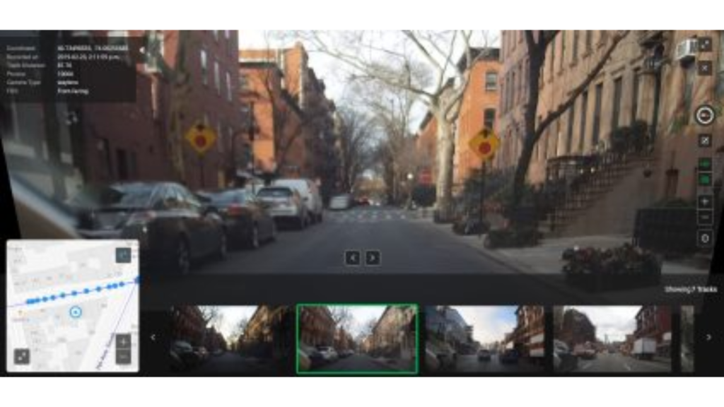
KartaView
KartaView, formerly known as OpenStreetCam, is a database of street-level imagery that anyone can contribute to. It’s a collaborative project aiming to create a free map of street-level images. Like Mapillary, it relies on contributions from users.
Users upload photos of streets using smartphones, cameras, or dashcams. Then, KartaView stitches these images together to create continuous panoramic views. To protect privacy, it automatically blurs faces and license plates.
These images are then shared with contributors of OpenStreetMap (OSM). By using these images, KartaView can add, verify, and improve the OSM map with real-world visuals.
Oriented Imagery
Esri introduces the oriented imagery feature in ArcGIS, which allows users to use various imagery sources for situational awareness. This feature is available in ArcGIS Online, ArcGIS Pro, and ArcGIS Enterprise. It lets you include drone images and street-level photos in your maps.
This feature uses camera location, orientation, and digital elevation models to map each pixel to a ground location. Future versions might include more types of imagery, like 360° images and videos.

Maps with Street View
Ever felt lost in another country? Street view maps change that. They give you a real-life look at your destination before you even arrive.
In this article, we’ve introduced you to 5 maps with street view. You can check out your house, your next travel destination, or almost anywhere in the world with these street view platforms.