Introduction
In 2021, a construction crew in Colorado accidentally bulldozed the wrong plot of land—a $200,000 mistake traced to a decimal place error in geographic coordinates. Stories like this highlight why professionals across industries rely on the Universal Transverse Mercator (UTM) system for precision. In this guide, you’ll discover why UTM matters and how our free UTM Coordinate Converter eliminates conversion headaches.
UTM Coordinate Converter
Conversion Results
What Are UTM Coordinates?
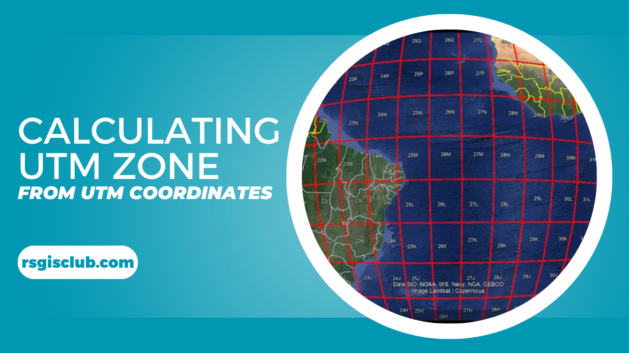
UTM is a global coordinate system that divides Earth into 60 vertical zones (each 6° of longitude wide). Unlike latitude/longitude, it uses:
- Easting/X: Meters east from a central meridian
- Northing/Y: Meters north/south from the equator
- Zone + Hemisphere: Like “18N” for New York or “56S” for Sydney
Why does this matter? Imagine trying to measure a 100-meter property boundary using degrees (where 1° ≈ 111 km). UTM’s metric grid simplifies field calculations while minimizing distortion.
Why Calculate Your UTM Zone?
Critical Applications
- Construction & Surveying: Align heavy machinery within centimeters
- Disaster Response: Pinpoint flood zones for rescue operations
- Precision Agriculture: Map drone spray paths for crops
- Archaeology: Document artifact locations without GPS drift
Lat/Long vs UTM
| Geographic (Lat/Long) | UTM | |
|---|---|---|
| Units | Degrees | Meters |
| Distortion | High at poles | <0.04% per zone |
| Local Accuracy | Poor | Sub-meter |
RSGISCLUB’s UTM Converter: Features That Set It Apart
Our tool isn’t just another calculator—it’s your precision workflow partner:
✅ Instant Zone Detection: Enter coordinates → Get zone/SRID in seconds
✅ Military-Grade Math: WGS84 ellipsoid formulas for survey-grade results
✅ Interactive Map: Visualize your point with OpenStreetMap integration
✅ SRID Generator: Auto-output EPSG codes for ArcGIS/QGIS
How to Use the Tool (3 Simple Steps)
- Input Coordinates
- Format: Decimal degrees (e.g., Statue of Liberty = 40.6892° N, -74.0445° E)
- Pro Tip: Use
Ctrl+C/Vto paste from Google Earth
- Click “Calculate”
Watch as the tool:- Detects Zone 18T (for New York)
- Calculates Easting: 583,926.845 m
- Outputs SRID: EPSG:32618
- Apply Results
- Import EPSG codes directly into GIS software
- Share UTM values with team members via CSV
The Science Behind the Tool
UTM relies on the Transverse Mercator projection, which wraps Earth in a cylinder tangent to a central meridian. Key parameters:
- Scale Factor: 0.9996 (minimizes distortion)
- False Easting: +500,000 m (avoids negative values)
- WGS84 Ellipsoid: Accounts for Earth’s flattening
Manual calculations require solving 15+ complex equations—a process error-prone even for mathematicians. Our tool automates this using JavaScript libraries battle-tested in geospatial software.
FAQs
Q: How precise are the results?
A: Sub-meter accuracy for coordinates within ±10° of the central meridian.
Q: Does it work south of the equator?
A: Yes! We auto-detect hemispheres (N/S) and adjust northing values.
Conclusion
In a world where a single meter can separate success from costly failure, UTM coordinates offer the precision modern mapping demands. Whether you’re laying pipelines or hiking the Andes, RSGISCLUB’s UTM Converter turns coordinate chaos into clarity.