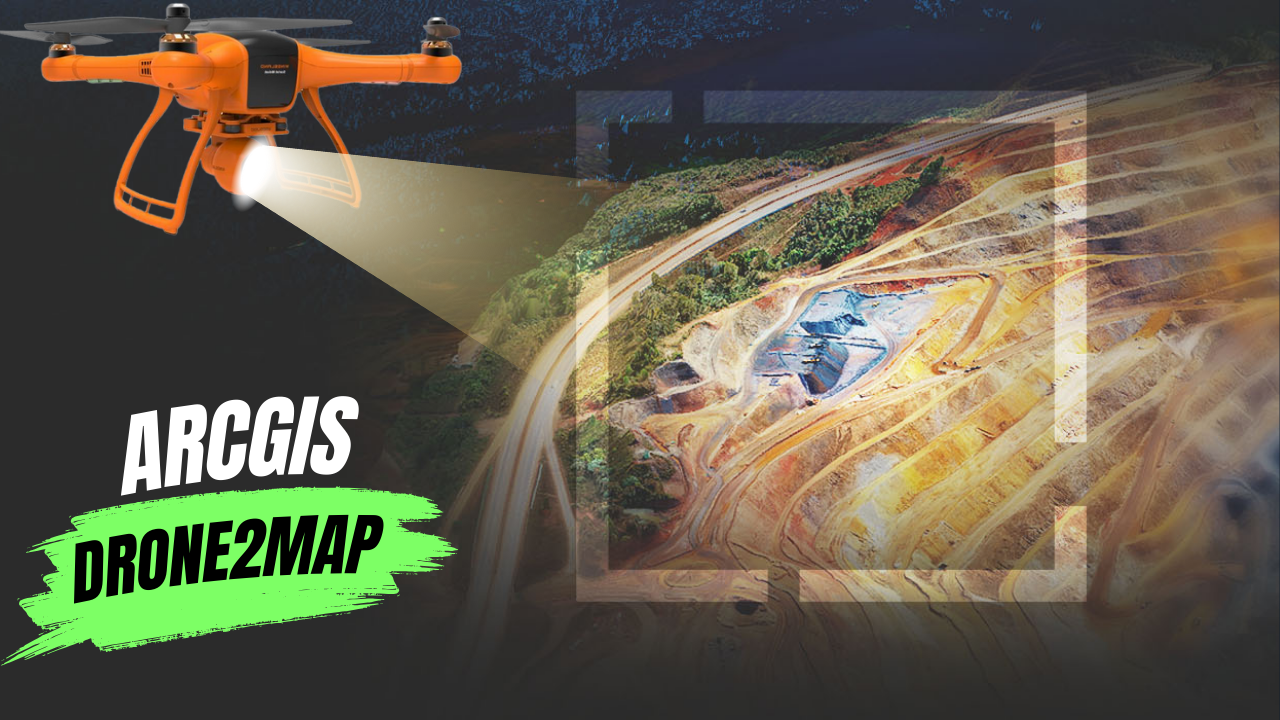
What Is ArcGIS Drone2Map?
ArcGIS Drone2Map is an app for your computer that helps you create maps with drone images. You can use any modern drone to take high-resolution pictures whenever and wherever you need them. Right after flying your drone, you can process the images on your laptop and analyze them. The app works well with other ArcGIS tools, making it easy to create accurate maps and share them with your team.
How It Works
- Capture: Use Site Scan Flight LE or any other app to collect drone data.
- Download and Process: After flying the drone, create a project to download the images. Add ground control points and automatically process the images to create 2D and 3D maps.
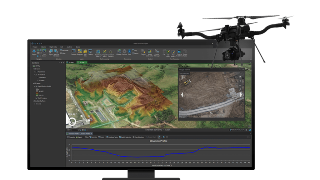
- Visualize and Analyze: View and analyze the 2D and 3D outputs. Measure distances, track changes, and perform other analyses.
- Advanced Analysis: Open your project in ArcGIS Pro for advanced analysis and data management.
- Share: Share your maps and images within your organization or with the public.
Capabilities of ArcGIS Drone2Map
- Capture High-Resolution Images: Use any modern drone to get high-quality images for your mapping projects. Site Scan Flight LE is recommended, but other apps and drones also work.
- Work Anywhere: Since Drone2Map is a desktop app, you can use it right after your flight, even without an internet connection. Back at the office, you can create high-quality images for your GIS and share them.
- Analyze Drone Data: Visualize and analyze different types of data, like natural-color, thermal infrared, or multispectral images. Perform 2D and 3D measurements quickly.
- Integrate with ArcGIS: Access a range of mapping and analysis tools within the ArcGIS system. Open your projects in ArcGIS Pro and publish your data in ArcGIS Online or ArcGIS Enterprise.
- Create 2D Maps: Easily process overlapping images to create accurate 2D maps, like orthomosaics, digital surface models (DSMs), and digital terrain models (DTMs).
- Create 3D Maps: Use SURE for ArcGIS to create 3D maps, like point clouds and textured meshes, from your drone images. Create detailed DSM orthomosaics with sharp building edges and accurate locations.