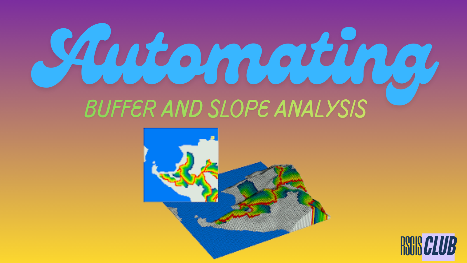
Introducing ArcGIS for Autodesk Forma
For architects, engineers, and planners, great design begins with the right tools—and the right context. While cloud-based platforms like Autodesk Forma excel in the pre-design …
Many people—especially those new to geospatial technologies—often equate GIS with Google Maps. It’s understandable: Google Maps is widely used, visually intuitive, and packed with geographic …
The Normalized Difference Water Index (NDWI) is a widely used remote-sensing index that helps detect and measure water—both as surface water and as moisture in …
What’s the Difference Between GNSS and GPS? GNSS stands for Global Navigation Satellite System. Think of GNSS like a big group or team of satellite …
Earth observation through satellite imagery has revolutionized the way we study and understand our planet. By leveraging different band configurations, scientists and researchers can extract …
XTools Pro is a powerful extension for both ArcMap and ArcGIS Pro, designed to enhance GIS analysis and boost productivity. Whether you’re a seasoned GIS …
Introduction Interactive maps have become indispensable in fields like urban planning, environmental science, and business analytics, transforming raw geospatial data into actionable insights. Python, with …
Geographic Information Systems (GIS) have long been a cornerstone of spatial analysis, enabling us to visualize, interpret, and understand the world around us. From urban …
Introduction In 2021, a construction crew in Colorado accidentally bulldozed the wrong plot of land—a $200,000 mistake traced to a decimal place error in geographic …
Geographic Information Systems (GIS) have become an essential tool for solving complex spatial problems across industries. At the heart of this technology is the GIS consultant, …