Autocad Map 3D: How It Works
Introduction AutoCAD Map 3D is a powerful software application that combines traditional computer-aided design (CAD) capabilities with the functionality of geographic information systems (GIS). It …
Introduction AutoCAD Map 3D is a powerful software application that combines traditional computer-aided design (CAD) capabilities with the functionality of geographic information systems (GIS). It …
LDA City Lahore is a new housing project by Lahore Development Authority in Pakistan. It is the latest addition to a series of successful projects …

In the rapidly evolving landscape of cloud computing, three major players have emerged as leaders: Amazon Web Services (AWS), Microsoft Azure, and Google Cloud. As …

In the ever-evolving landscape of technology, Python has emerged as one of the most powerful and versatile programming languages. This article aims to explore the …
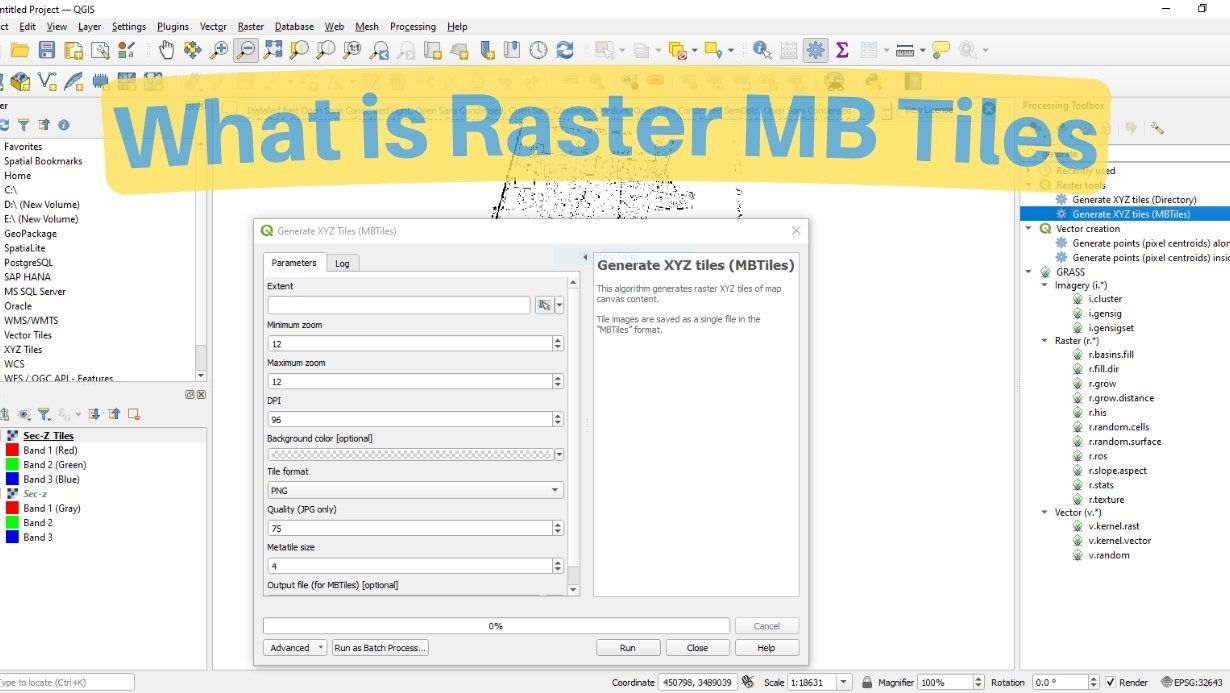
Learn about raster MB tiles and how to create them using QGIS. This comprehensive guide will walk you through the process step by step, providing …

Introduction In today’s rapidly evolving world, urban transportation plays a pivotal role in connecting people, goods, and services. As cities grow larger and more complex, …

The Geographic Information System (GIS) industry in Pakistan has witnessed remarkable growth in recent years. With increasing awareness of the importance of spatial data and …
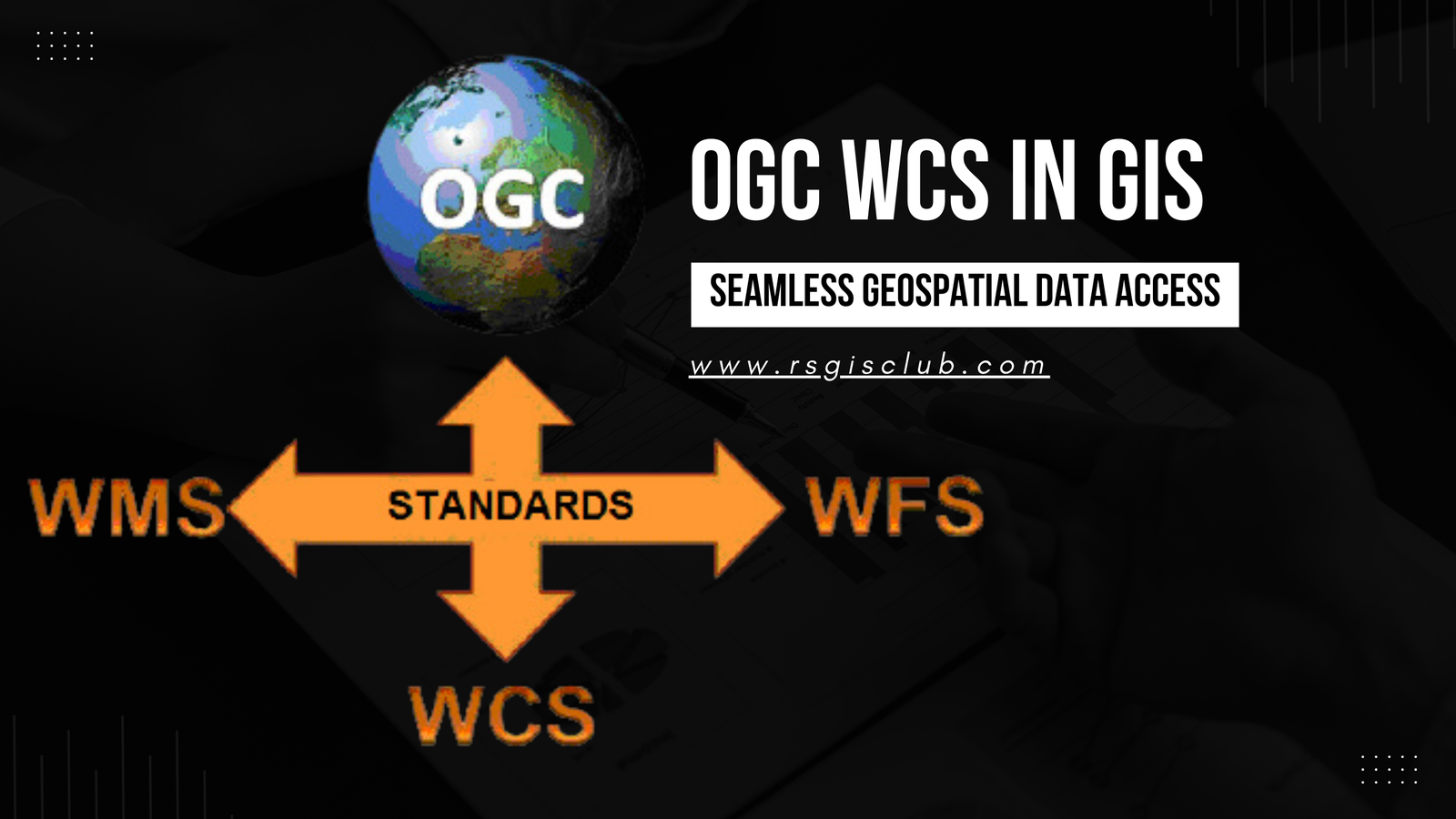
In the realm of Geographic Information Systems (GIS), the efficient management and dissemination of geospatial data are of paramount importance. The Open Geospatial Consortium (OGC) …
Metadata plays a pivotal role in the world of Geographic Information Systems (GIS). It provides valuable information about geospatial datasets, enabling users to comprehend the …