
How to Use the Clip Tool in ArcMap for GIS Analysis
Clip Analysis is a powerful tool used in GIS (Geographic Information System) to extract specific data from a larger dataset. In ArcMap, the Clip tool …
Clip Analysis is a powerful tool used in GIS (Geographic Information System) to extract specific data from a larger dataset. In ArcMap, the Clip tool …

ArcGIS Online is a web-based geographic information system (GIS) platform developed by Esri, a global leader in GIS technology. It enables users to access and …

Geographic information systems (GIS) have revolutionized the way we work with spatial data. GIS software allows us to store, analyze, and visualize geographic data in …

Python is a high-level programming language widely used in Geographic Information Systems (GIS) due to its versatility and ease of use. It is an open-source …
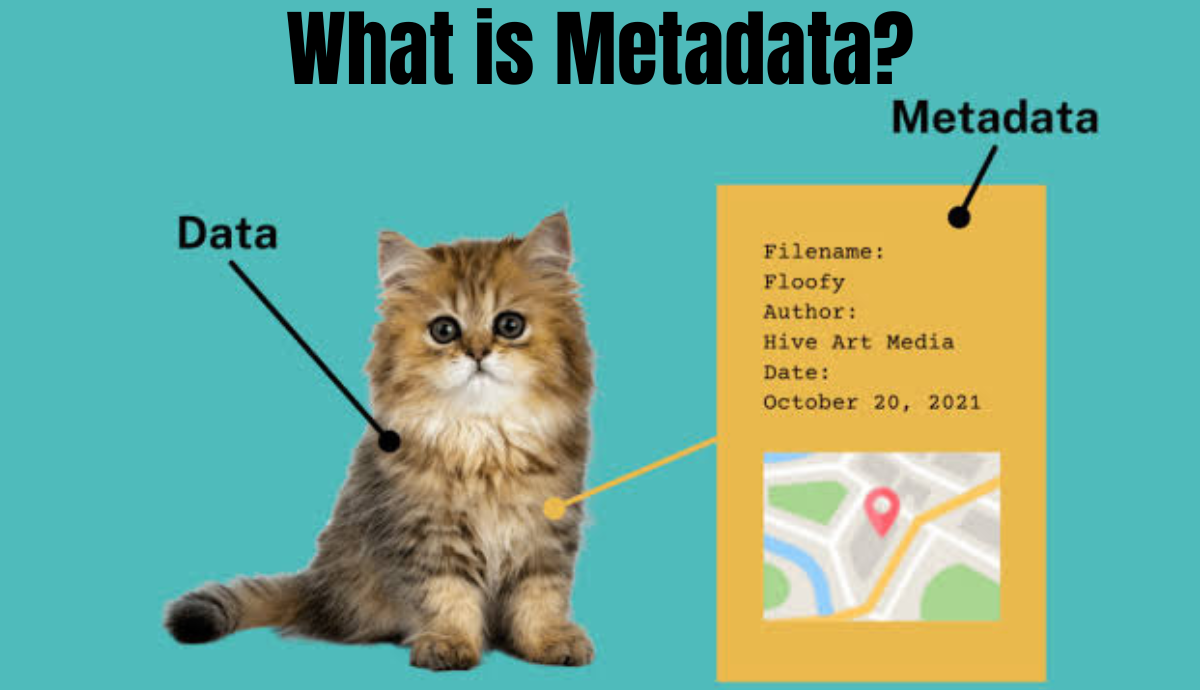
In GIS (Geographic Information System), metadata refers to information about the geographic data or spatial data. It is essentially data that provides context to other …
Geographic Information Systems (GIS) are powerful tools used for managing and analyzing spatial data. At the heart of GIS is the concept of a coordinate …

A database is an organized collection of data that is stored and accessed electronically. It is designed to store and manage large amounts of information …
Urban planning and development are complex processes that involve many different factors, such as land use, transportation networks, environmental impacts, and social and economic considerations. …

Urban planning and development are complex processes that involve many different factors, such as land use, transportation networks, environmental impacts, and social and economic considerations. …
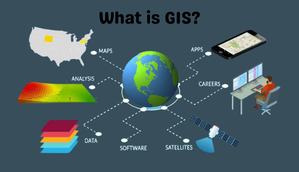
GIS stands for Geographic Information System, which is a computer-based system designed to capture, store, analyze, manage and display spatial or geographic data. GIS combines …