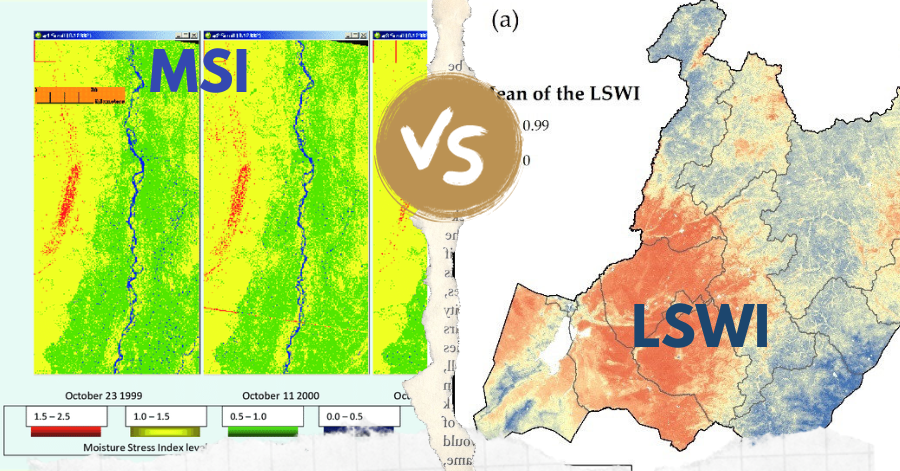
What is the difference between LSWI, MSI
In the realm of remote sensing, the Leaf-Water Stress Index (LSWI) and the Moisture Stress Index (MSI) stand out as key tools for assessing vegetation …
In the realm of remote sensing, the Leaf-Water Stress Index (LSWI) and the Moisture Stress Index (MSI) stand out as key tools for assessing vegetation …

Exploring the Impact of AI on GIS Let’s dive into the world where artificial intelligence (AI) intersects with Geographic Information Systems (GIS). Before we begin, …
Are you new to GIS and eager to step into the exciting world of Geographic Information Systems? Numerous GIS professionals have already paved the way …

Wondering what to include in your maps? This guide, acting as your compass, outlines 33 map elements that will steer you in the right direction, …

Excited for GIS Day 2023? It’s a special celebration happening on November 15, where people all over the world come together to appreciate Geographic Information …

Update at 9:10 p.m. EST (0210 UTC): The Falcon 9 rocket has successfully lifted off, with the Cargo Dragon separating as planned. On this mission, …
Since the iconic Blue Marble photograph taken by Apollo 17 in 1972, our understanding of Earth has been rooted in static imagery. But have you …

Unleashing Web GIS: The Epic Showdown In the realm of crafting captivating content, three elements reign supreme: “perplexity,” “burstiness,” and “predictability.” “Perplexity” gauges the intricacy …
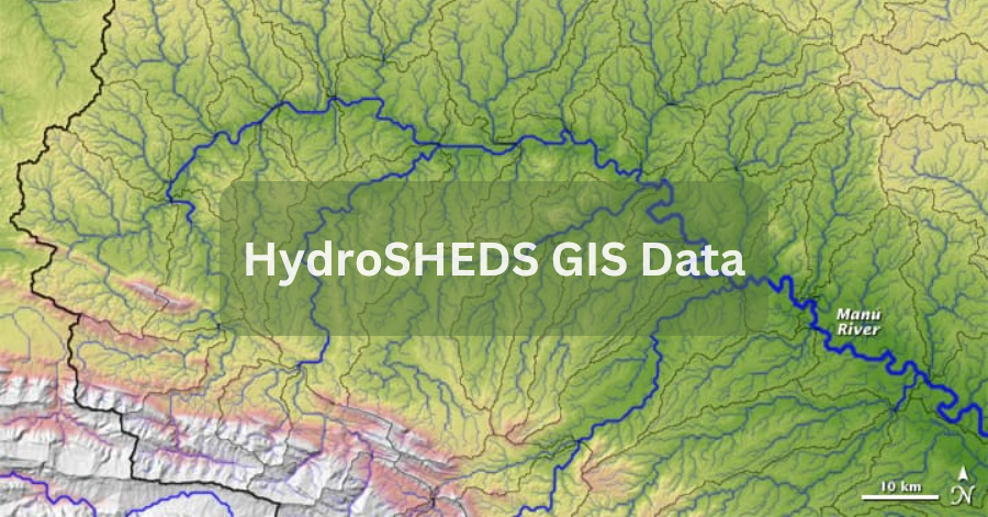
HydroSHEDS GIS Data, which stands for Hydrological data and maps based on Shuttle Elevation Derivatives at multiple Scales, is a valuable resource for water management …
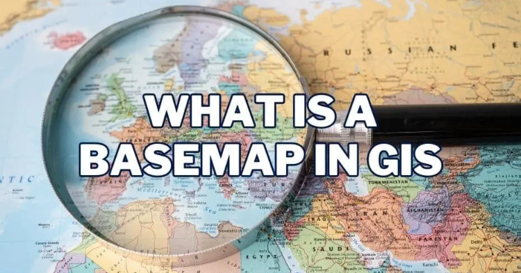
Basemaps play a pivotal role in providing geographic context to maps and other data layers. These maps are essential for enhancing spatial analysis and modeling, …