25 Must-Know GIS Editing ToolsArt of GIS – Art of GIS Editing
Creating Features When it comes to the world of Geographic Information Systems (GIS), you’ve got a vast playground of data at your fingertips. Imagine being …
Creating Features When it comes to the world of Geographic Information Systems (GIS), you’ve got a vast playground of data at your fingertips. Imagine being …
Are you ready to embark on a journey into the world of GIS programming? If so, get ready to explore the vast landscape of programming …

Unlock the Secrets of the Cosmos with “The Grand Satellite Catalog” Embark on a celestial odyssey, exploring the technological marvels that have pioneered the realm …
Have you ever grappled with the daunting task of finding LiDAR data sources, especially those that won’t cost you a dime? The search for free …

Embark on a captivating journey through the intricate world of Excel map creation. This step-by-step guide will escort you from the initial concept to the …
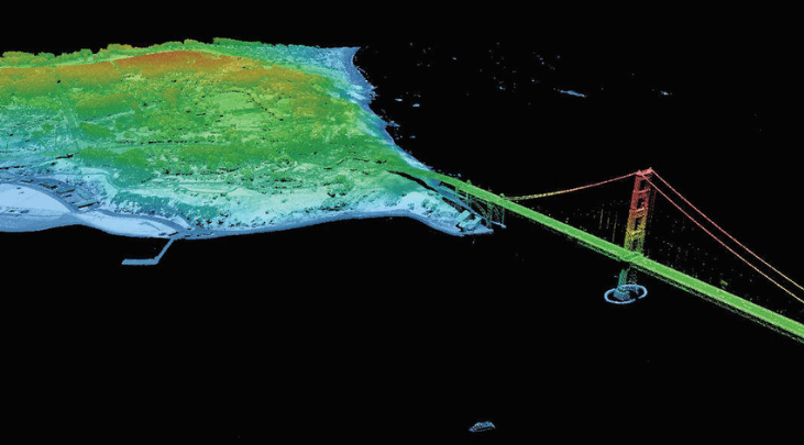
LiDAR (Light Detection and Ranging) and radar are two remote sensing techniques that use different forms of energy to capture information about the Earth’s surface. …

What precisely is ground truthing? Ground truthing serves as the yardstick for validating the precision of remote sensing data, be it from satellite imagery, aerial …
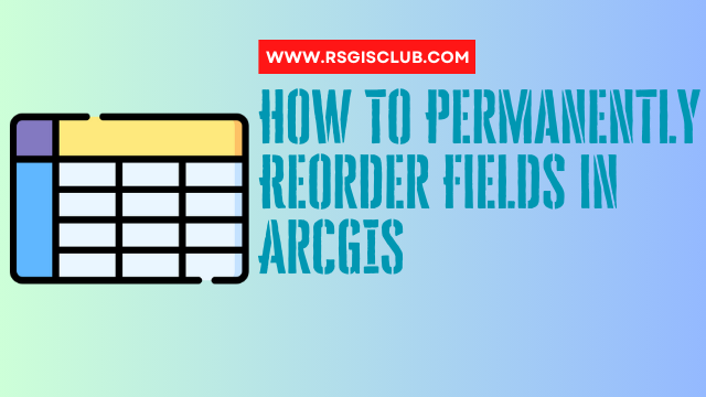
If the notion of permanently reshuffling fields in ArcGIS has you intrigued, we’re here to reveal two intriguing methods to get the job done. Prepare …

When it comes to the realm of crafting written content, we find ourselves at the crossroads of three pivotal elements: “perplexity,” “burstiness,” and “predictability.” Allow …

The world of GIS software is a vast and intriguing landscape, offering a plethora of choices that can leave you both amazed and perplexed. In …