HydroSHEDS GIS Data, which stands for Hydrological data and maps based on Shuttle Elevation Derivatives at multiple Scales, is a valuable resource for water management and decision-making. This comprehensive database provides detailed information on various hydrological features and their associated characteristics. Here’s a summary of what HydroSHEDS GIS Data is and how it can be used:
What is HydroSHEDS GIS Data? HydroSHEDS is a free GIS data source designed for water resources management and decision-making. It includes information on watersheds, sub-basins, rivers, lakes, water treatment plants, waterfalls, and other hydrological features, along with their associated attributes. This data is instrumental in making informed decisions regarding water resources management, planning, and development, as well as assessing vulnerability to water-related risks and understanding the impacts of climate change on water resources.
How Can You Use HydroSHEDS? HydroSHEDS provides a digital representation of hydrological features and their spatial relationships, including rivers, lakes, streams, and watersheds. This global data can be downloaded in geodatabase or shapefile format, making it accessible for various applications. Users can employ HydroSHEDS for a wide range of water management tasks and research, such as basin-scale integrated water resource management, flood and drought management, and climate change impact assessments.
Types of HydroSHEDS GIS Data HydroSHEDS offers several types of hydrological data, including:
HydroSHEDS Core Data: This includes a void-filled Digital Elevation Model (DEM), conditioned DEM, flow direction, flow accumulation, flow length, and land mask, based on the SRTM 3 arc-seconds (90m) DEM. Higher-resolution data is also planned with HydroSHEDS version 2 using TanDEM-X DEM.
- HydroAtlas: Provides hydro-environmental characteristics of global sub-basins, covering physiography, climate, land cover, soils, geology, and environmental influences.
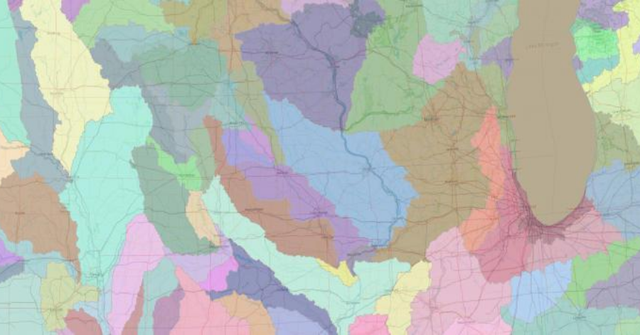
- HydroBasins: Geo-referenced sub-basin boundary data for all countries and river basins globally, available at a resolution of 15 arc-seconds (approximately 450 meters) using a coding system of 12 hierarchically nested sub-basins.
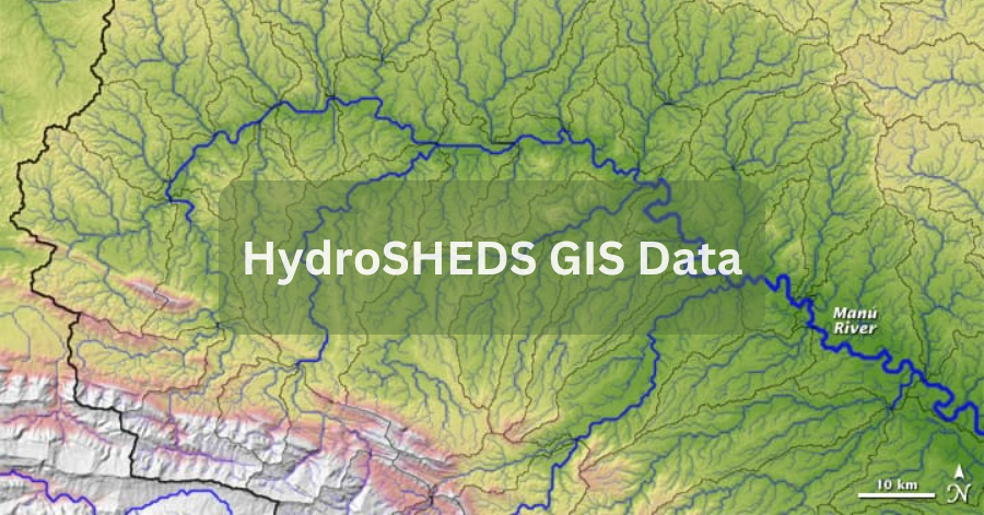
HydroRIVERS: Vectorized rivers for the entire globe, derived from a 15-arc-second resolution DEM layer, including information on stream order and river reach length.
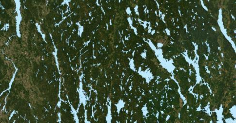
- HydroLAKES: Contains global lakes with a minimum surface area of 10 hectares, totaling 1.4 million lakes or reservoirs globally.
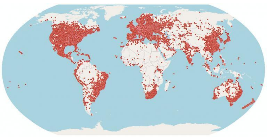
- HydroWASTE: Provides the locations of 58,502 wastewater treatment plants worldwide, although some attributes may be limited.
- Global River Classification (GloRiC): Includes river types and sub-classifications, along with physio-climatic and geomorphic characteristics for 8.5 million river reaches globally.
HydroFALLS: Offers over 4,000 waterfall locations, validated from national and regional sources.
Benefits of HydroSHEDS GIS Data Leveraging HydroSHEDS GIS data offers several benefits, including:
- Greater Understanding of Water Resources: Helps identify water resources, hydro-ecological features, and other critical information in a given area.
- Improved Decision-Making: Supports integrated water resource management and decision-making for flood and drought management.
- Assessing Climate Change Impacts: Facilitates the assessment of how climate change may affect water resources, their uses, and ecosystem services they provide.
In conclusion, HydroSHEDS GIS Data is a valuable resource for understanding and managing the world’s hydrological system. It empowers water resources managers to make informed decisions that protect and preserve water resources while promoting sustainable development. If you’re looking for more free GIS data, you can explore additional resources to complement your research and applications in this field.