Lidar is a remote sensing technology that uses light to measure distance to objects and surfaces. It is a powerful tool for collecting data about the Earth’s surface, including topography, vegetation, and infrastructure. Lidar can be used for a variety of applications, including:
- Mapping and surveying
- Environmental monitoring
- Urban planning
- Infrastructure inspection
- Disaster response
Lidar works by emitting a laser beam and measuring the time it takes for the beam to travel to an object and return. The distance to the object is calculated by dividing the speed of light by the round-trip travel time. Lidar can measure distances to objects with a high degree of accuracy, typically within a few centimeters.
Lidar data can be used to create a variety of products, including:
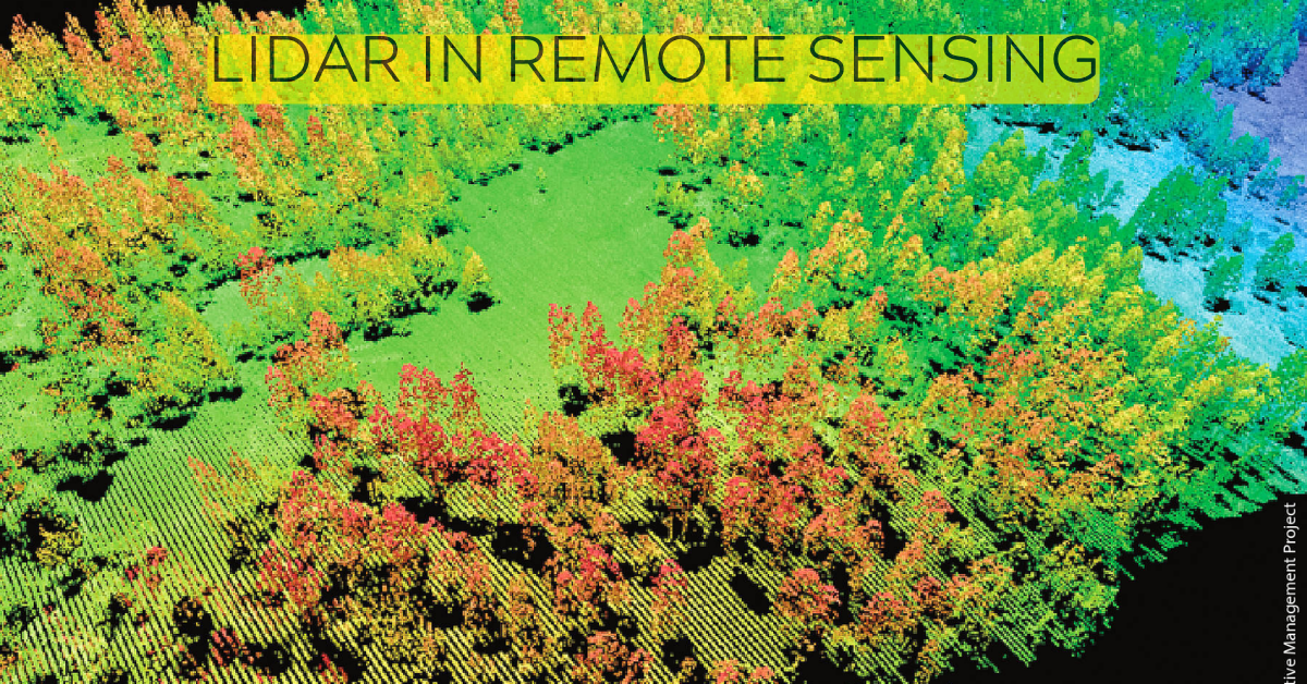
- Point clouds: A point cloud is a collection of points that represent the locations of objects in a three-dimensional space. Point clouds can be used to create 3D models of objects and surfaces.
- Digital elevation models (DEMs): A DEM is a gridded representation of the Earth’s surface elevation. DEMs can be used to create topographic maps and to study the Earth’s surface.
- Orthophotos: An orthophoto is a high-resolution aerial photograph that has been geometrically corrected to remove distortions caused by the camera’s perspective. Orthophotos can be used to create detailed maps and to study the Earth’s surface.
Lidar is a powerful tool for remote sensing that can be used for a variety of applications. It is a valuable tool for collecting data about the Earth’s surface and for creating accurate 3D models of objects and surfaces.
Here are some additional details about Lidar in remote sensing:
- Advantages of Lidar:
- Lidar is a very accurate remote-sensing technology. It can measure distances to objects with a high degree of accuracy, typically within a few centimeters.
- Lidar can be used to collect data in a variety of environments, including forests, urban areas, and water bodies.
- Lidar can be used to collect data at a variety of scales, from small areas to large regions.
- Lidar data can be used to create a variety of products, including point clouds, DEMs, and orthophotos.
- Disadvantages of Lidar:
- Lidar is a relatively expensive remote-sensing technology.
- Lidar data can be difficult to process and analyze.
- Lidar can only be used to collect data in clear weather conditions.
Overall, Lidar is a powerful and versatile remote sensing technology that can be used for a variety of applications. It is a valuable tool for collecting data about the Earth’s surface and for creating accurate 3D models of objects and surfaces.
Here are some examples of how Lidar is being used in remote sensing:
- Mapping and surveying: Lidar is used to create accurate maps and topographic models of the Earth’s surface. This data can be used for a variety of purposes, such as land use planning, disaster response, and environmental monitoring.
- Environmental monitoring: Lidar is used to monitor changes in the Earth’s surface, such as deforestation, erosion, and land subsidence. This data can be used to track the impact of human activity on the environment and to plan for future development.
- Urban planning: Lidar is used to create detailed maps of urban areas. This data can be used to plan for new development, to improve infrastructure, and to manage traffic.
- Infrastructure inspection: Lidar is used to inspect bridges, dams, and other infrastructure for damage. This data can be used to identify potential problems and to plan for repairs.
- Disaster response: Lidar is used to assess the damage caused by natural disasters, such as earthquakes, floods, and hurricanes. This data can be used to plan for recovery and to rebuild infrastructure.
Lidar is a powerful tool that is being used in a variety of ways to improve our understanding of the Earth’s surface. As Lidar technology continues to develop, it is likely to play an even greater role in remote sensing in the future.