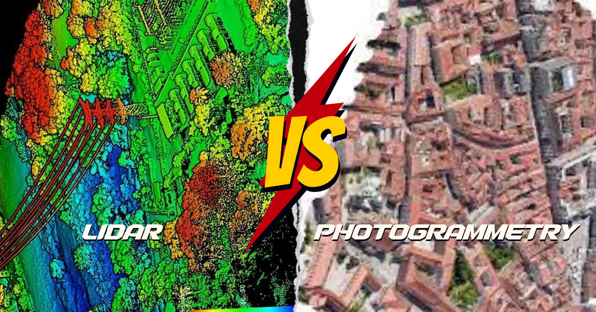
What’s the Difference?
LiDAR and photogrammetry are cool ways to make maps of the Earth, but they do it differently. LiDAR is like using a laser pointer to measure how far things are. Photogrammetry is like taking lots of pictures from different spots and stitching them together to make a 3D model. Pretty neat, right?
How Good is LiDAR?
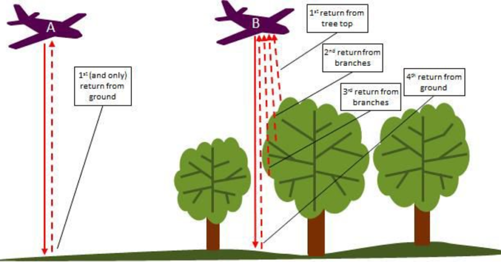
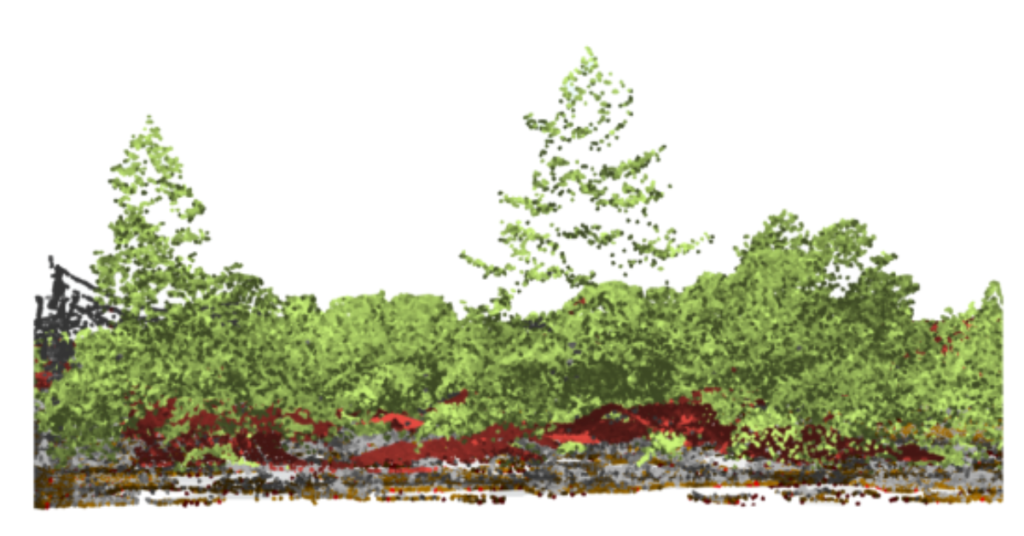
LiDAR is super precise. It can measure how high or low something is with up to 5-15 cm accuracy. That’s about the length of a pencil! It shoots out laser beams to directly measure distances. This is awesome for areas covered in lots of trees because LiDAR can peek through the leaves to see the ground. It’s perfect for mapping forests or finding hidden things like ancient ruins.
What About Photogrammetry?
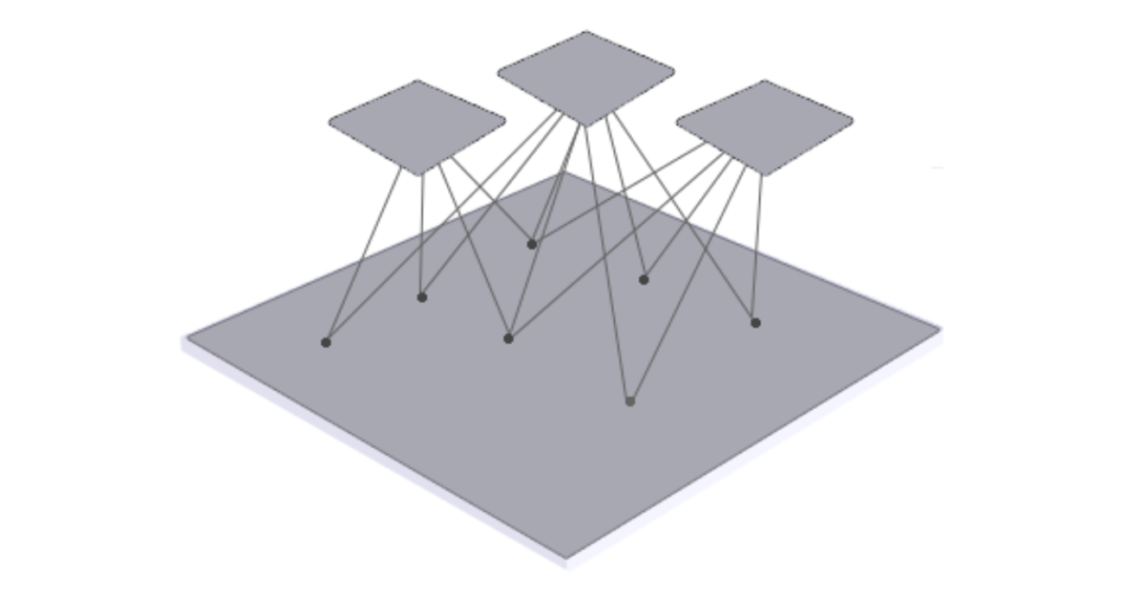
Photogrammetry might not be as spot-on as LiDAR, but it’s still pretty cool. It uses lots of photos taken from different angles. If you take enough pictures, it can be just as good as LiDAR for making 3D models. The quality of the photos, the camera, and the skills of the person taking the pictures all matter a lot.
So, Which One is Better?
LiDAR usually wins for accuracy, especially in places with lots of trees. It can see through the leaves to the ground. Photogrammetry uses pictures and works great, but it might not do as well in thick forests.
Cool Ways to Use LiDAR and Photogrammetry
LiDAR is Awesome For:
- Checking out forests and how dense they are.
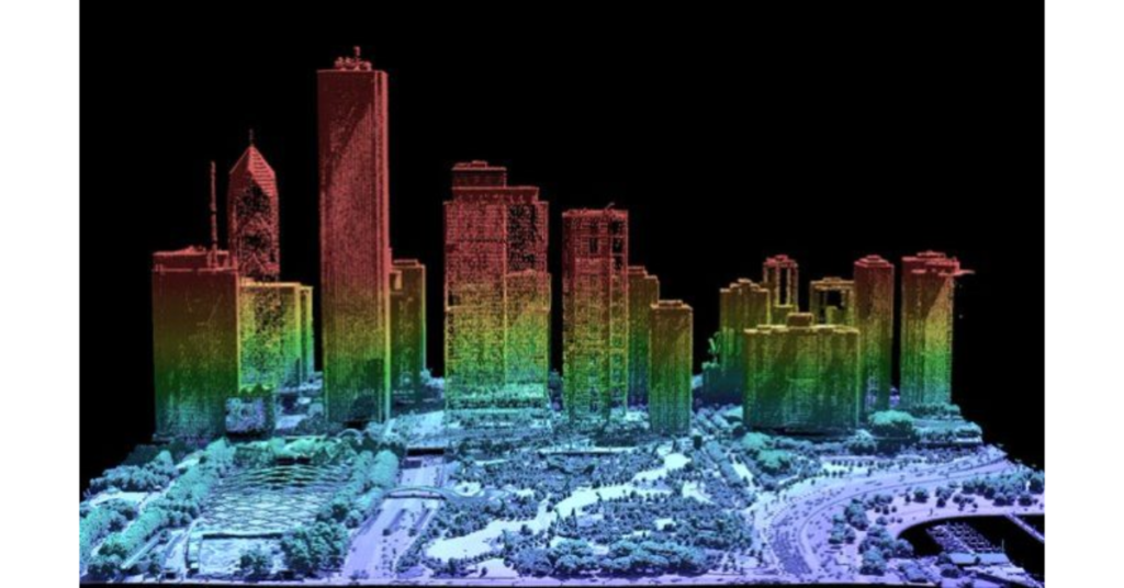
- Planning cities and mapping everything from buildings to roads.
- Helping with flood predictions by mapping the land.
- Finding ancient stuff hidden under the jungle without digging.
- Making self-driving cars smarter by helping them see obstacles.
Photogrammetry is Great For:
- Saving pictures of old buildings or monuments.
- Making 3D models for movies or video games.
- Showing off real estate or architectural designs.
- Keeping an eye on construction sites.
- Watching how landscapes change over time.
Pros and Cons
| Aspect | LiDAR | Photogrammetry |
|---|---|---|
| Accuracy | Super accurate, especially vertically | Depends on photo quality and conditions |
| Cost | Pricey due to fancy equipment | More budget-friendly for small projects |
| Terrain Penetration | Can see through trees to the ground | Can’t see through dense trees |
| Data Collection Speed | Quick to collect data over large areas | Takes longer to collect lots of photos |
| Operational Conditions | Works any time, day or night | Needs good lighting, so it’s a daytime activity |
Picking the Right Tool for the Job

Choose LiDAR if you need super precise maps, especially in wooded areas. Photogrammetry is a good choice if you’re on a budget and if having super detailed textures is important. But remember, it might not be the best in thick forests.
Both methods are awesome in their own ways, and sometimes using them together gets you the best of both worlds!