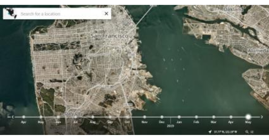
Since the iconic Blue Marble photograph taken by Apollo 17 in 1972, our understanding of Earth has been rooted in static imagery. But have you ever wondered what Earth looks like right NOW? This article guides you through accessing a live satellite map of the world, offering a dynamic and up-to-the-minute perspective.
NASA Worldview: Real-time Satellite Views and More
- NASA’s Worldview, available online, provides a real-time satellite map with satellite imagery, live cloud cover data, and over 800 layers representing different aspects of the world.
- Using Corrected Reflectance (True Color) from Terra/MODIS, the platform refreshes daily, offering images within 60 to 125 minutes after a satellite observation.
- Despite a resolution of 250 meters per pixel, the slick interface allows users to zoom in and out of different areas.


USGS EarthNow (FarEarth Observer): Landsat at Your Fingertips
- The USGS EarthNow app integrates Landsat 7 and 8 recordings, providing near real-time access to true-color images and vegetation analysis band combinations.
- It takes only seconds for Landsat transmissions to be uploaded, offering a quick and detailed view of Earth’s surface.
ISS Satellite Feed: Real-time Planetary Perspectives
- The International Space Station (ISS) features a high-definition streaming video (HDEV) that showcases real-time planetary perspectives from 248 miles above Earth.
- While lacking georeferenced information, the ISS satellite feed offers stunning views, from the dancing Aurora Borealis to thunderclouds and lightning bolts.


Real-time Weather Apps: Ventusky and Earth Null School
- Apps like Ventusky leverage satellite layers from GOES-16, GOES-17, and EUMETSAT, providing near-real-time weather data alongside forecasts.
- These mapping platforms incorporate wind, rain, and temperature in animated maps, utilizing forecast models for global weather predictions.
Planetscope: Unparalleled Earth Imagery Every Day
- PlanetScope, although not free, offers the sharpest daily images of Earth at 3 meters per pixel.
- With a constellation of 200+ nanosatellites, each bringing significant opportunities to satellite imaging, Planet compiles daily images into its cloud-based platform, delivering unmatched satellite imagery.

Explore Earth in a way that was once unimaginable, with live satellite maps, real-time views, and high-resolution imagery that provide a fresh perspective on our dynamic planet.

