Spatial Data Management – Course
Course Overview Spatial data constitute pivotal elements for the realm of spatial analysis. Within myriad GIS undertakings, your quest primarily revolves around pinpointing spatial data …
Course Overview Spatial data constitute pivotal elements for the realm of spatial analysis. Within myriad GIS undertakings, your quest primarily revolves around pinpointing spatial data …

Introduction ArcMap is a cartographer’s dream, offering a multitude of tools to create visually captivating maps. Whether you’re a seasoned GIS professional or just starting …

In the rapidly evolving world of Geographic Information Systems (GIS), having a recognized certification can be a game-changer for professionals seeking to advance their careers …

Introduction In recent years, the need for sustainable development has become a top priority for governments, organizations, and communities worldwide. The Environmental Impact Assessment (EIA) …
Introduction AutoCAD Map 3D is a powerful software application that combines traditional computer-aided design (CAD) capabilities with the functionality of geographic information systems (GIS). It …
LDA City Lahore is a new housing project by Lahore Development Authority in Pakistan. It is the latest addition to a series of successful projects …

In the rapidly evolving landscape of cloud computing, three major players have emerged as leaders: Amazon Web Services (AWS), Microsoft Azure, and Google Cloud. As …

In the ever-evolving landscape of technology, Python has emerged as one of the most powerful and versatile programming languages. This article aims to explore the …
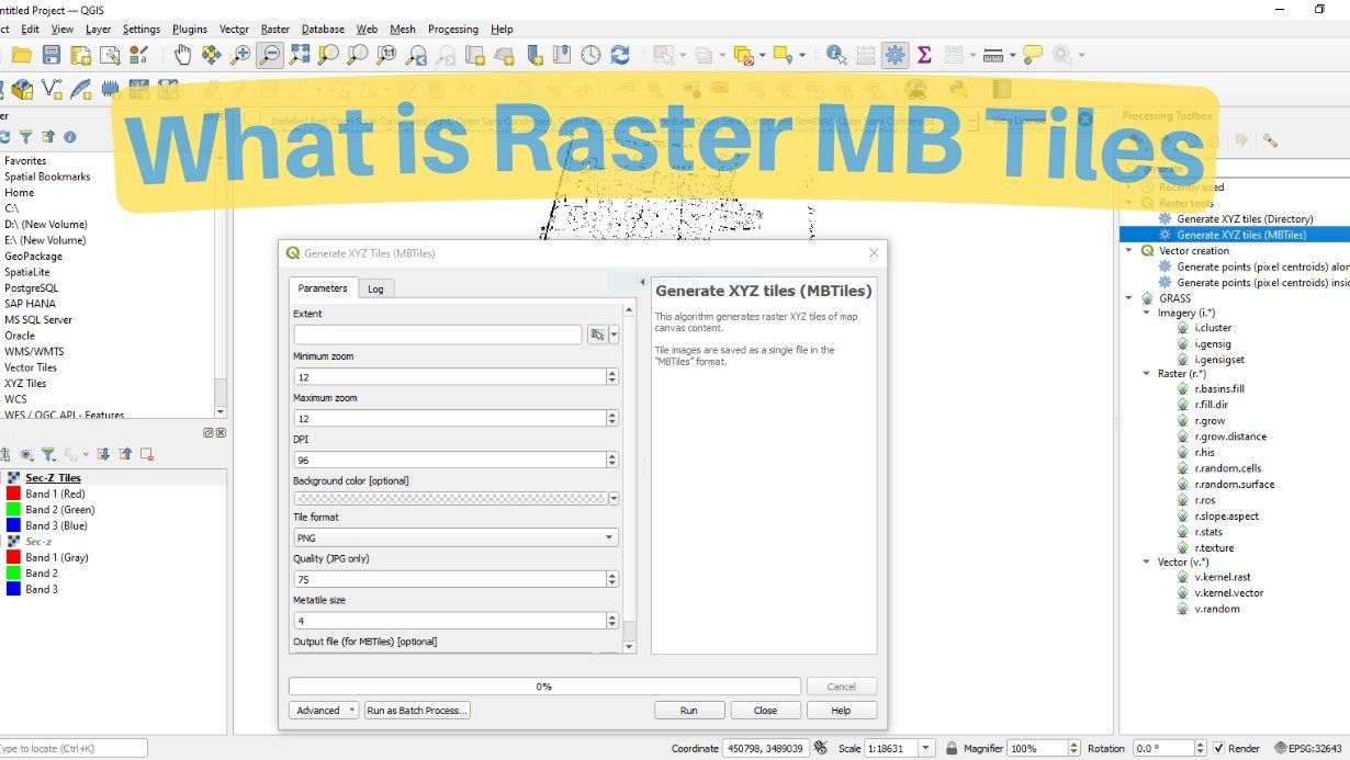
Learn about raster MB tiles and how to create them using QGIS. This comprehensive guide will walk you through the process step by step, providing …