GIS and Transportation Planning: Enhancing Mobility and Connectivity
Introduction In today’s rapidly evolving world, urban transportation plays a pivotal role in connecting people, goods, and services. As cities grow larger and more complex, …
Introduction In today’s rapidly evolving world, urban transportation plays a pivotal role in connecting people, goods, and services. As cities grow larger and more complex, …
The Geographic Information System (GIS) industry in Pakistan has witnessed remarkable growth in recent years. With increasing awareness of the importance of spatial data and …
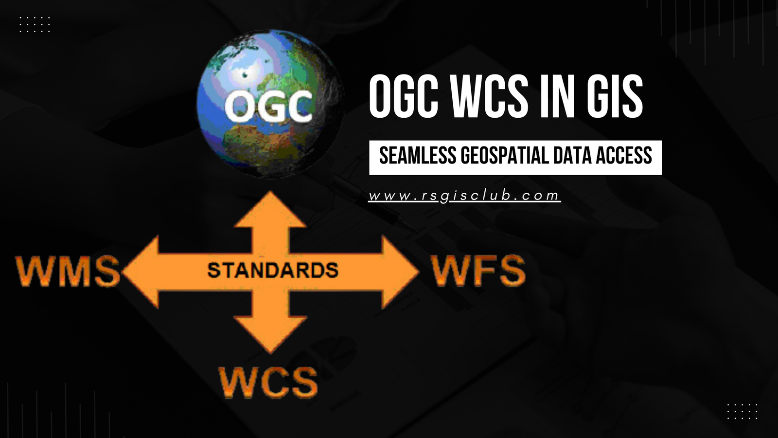
In the realm of Geographic Information Systems (GIS), the efficient management and dissemination of geospatial data are of paramount importance. The Open Geospatial Consortium (OGC) …
Metadata plays a pivotal role in the world of Geographic Information Systems (GIS). It provides valuable information about geospatial datasets, enabling users to comprehend the …

Introduction In today’s world, emergencies and disasters have become an unfortunate reality that can strike at any time and anywhere. From natural disasters like earthquakes, …
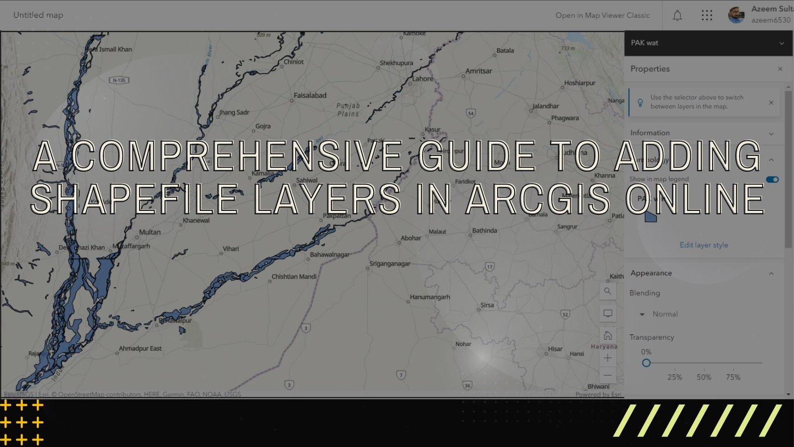
ArcGIS Online is a versatile and user-friendly platform that enables users to explore, analyze, and share geographic data. One of the fundamental tasks in ArcGIS …

Introduction: Geographic Information Systems (GIS) have revolutionized the way we understand and analyze spatial data. From mapping and visualization to complex spatial analysis, GIS has …
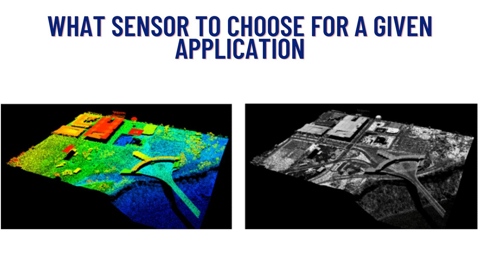
In today’s world, where technology is advancing at an unprecedented pace, there are various tools available to capture and analyze spatial data. Two prominent methods …
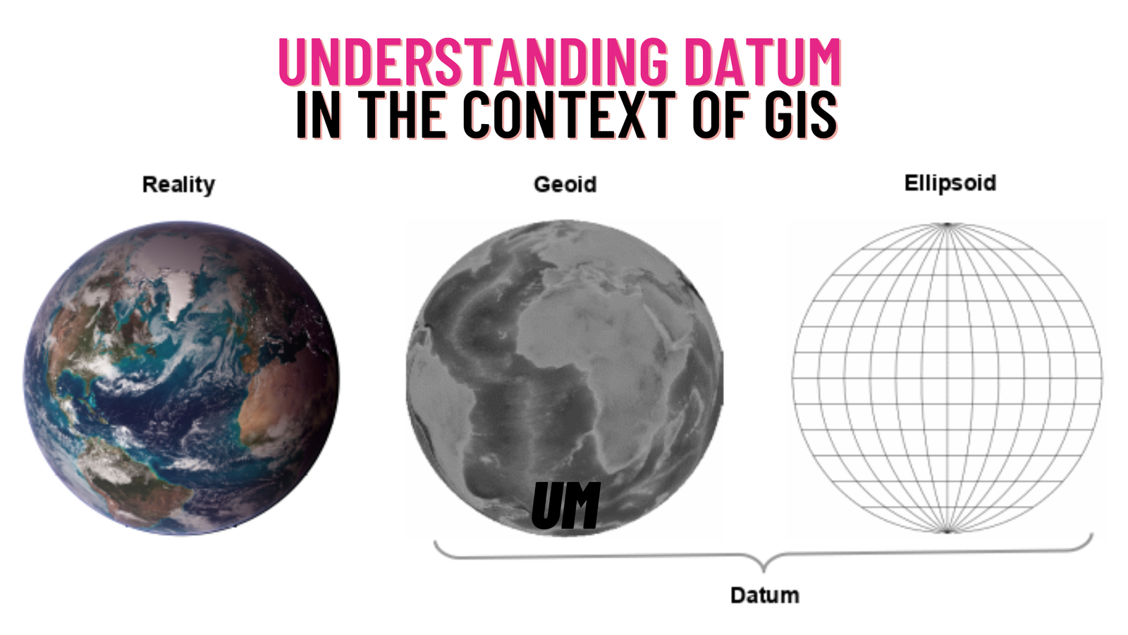
In the field of Geographic Information Systems (GIS), a crucial aspect that governs the accurate representation and analysis of spatial data is the concept of …

Forests are an essential part of our planet’s ecosystem. They provide us with a variety of benefits, including clean air, water, and timber. However, forests …