ArcGIS Geocoding Tutorial
Learn how to create and use address locators in ArcGIS with our step-by-step geocoding tutorial. Perfect for beginners looking to convert textual locations into geographic features efficiently.
Learn how to create and use address locators in ArcGIS with our step-by-step geocoding tutorial. Perfect for beginners looking to convert textual locations into geographic features efficiently.

What Is ArcGIS Drone2Map? ArcGIS Drone2Map is an app for your computer that helps you create maps with drone images. You can use any modern …
Understanding and Filling Gaps in Rasters Rasters can sometimes have holes, also known as voids, gaps, or NoData areas. These gaps can be big and …
When different teams work on the same project, they can use their favorite tools together. ArcGIS helps GIS and CAD teams work together on parcel …
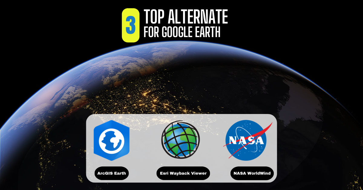
What Is Google Earth? Google Earth has always been a favorite for virtual explorers. Its historical images, 3D features, and ability to explore different places …
Is ArcGIS Free? ArcGIS, made by Esri, is a well-known GIS platform. But it doesn’t have any free plans. You need to pay for all …
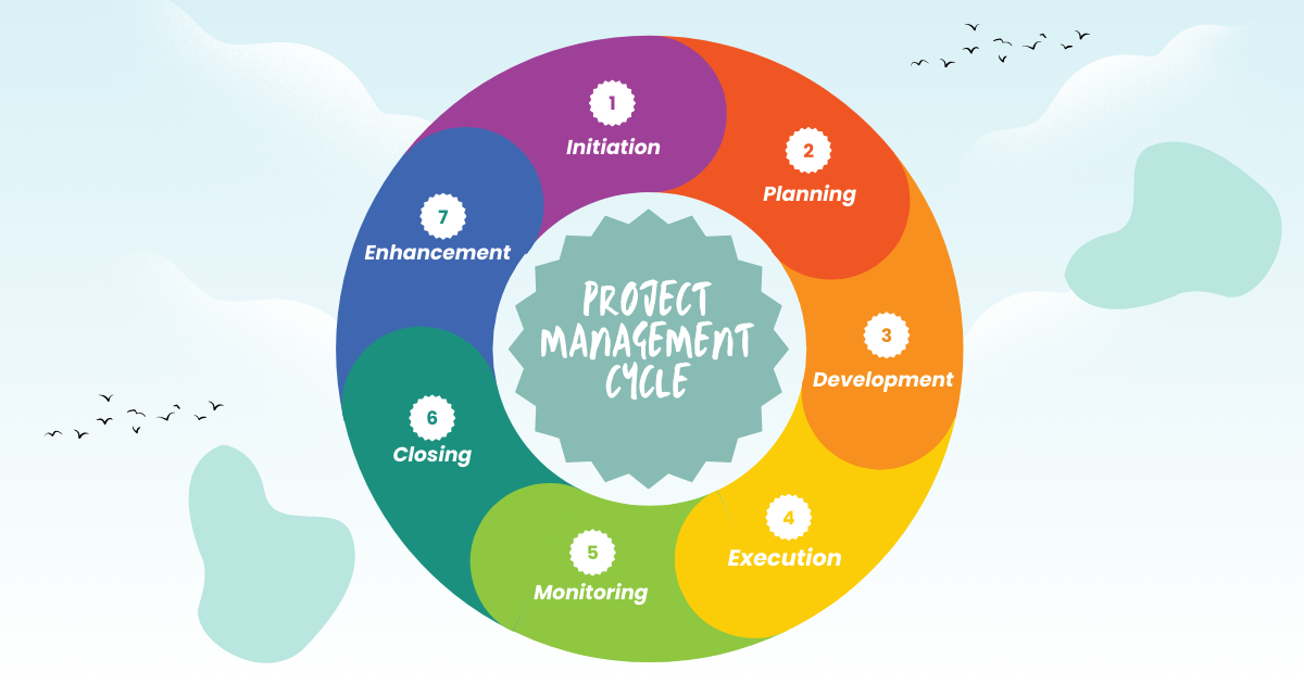
A typical project goes through these main steps: Planning → Development → Execution → Monitoring → Closing → Enhancement Each step needs special skills and …
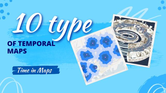
Some maps are timeless, capturing a moment in history that remains unchanged. Others, however, are dynamic, reflecting the passage of time. These temporal maps can …

Combining GIS (Geographic Information Systems) with blockchain technology can create powerful solutions for managing and sharing spatial data. Here are some key points about this …

Every year, people worldwide celebrate GIS Day. This year, it’s happening on Wednesday, November 20, 2024. But what’s GIS Day all about? Let’s explore this …