
SpaceX’s 29th Cargo Mission: A Journey to the International Space Station
Update at 9:10 p.m. EST (0210 UTC): The Falcon 9 rocket has successfully lifted off, with the Cargo Dragon separating as planned. On this mission, …
Update at 9:10 p.m. EST (0210 UTC): The Falcon 9 rocket has successfully lifted off, with the Cargo Dragon separating as planned. On this mission, …
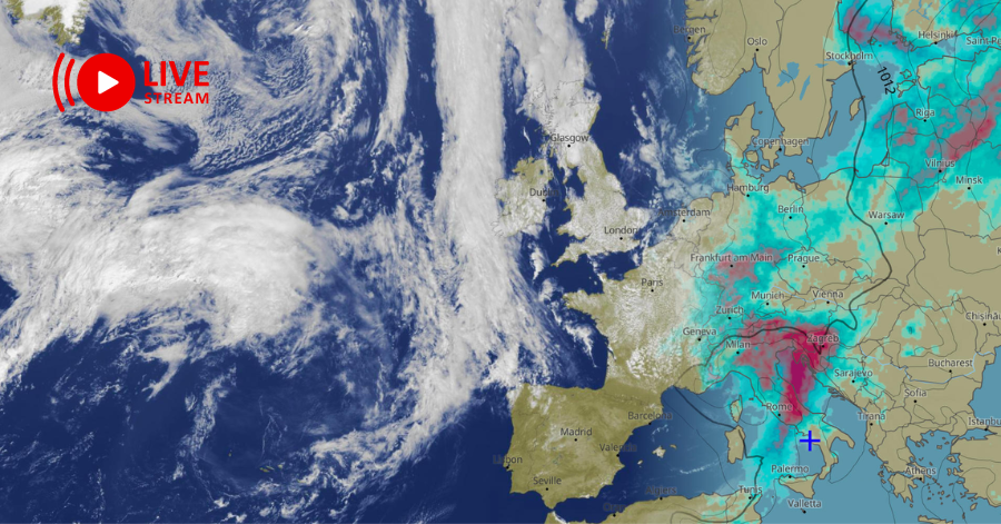
Since the iconic Blue Marble photograph taken by Apollo 17 in 1972, our understanding of Earth has been rooted in static imagery. But have you …

Unleashing Web GIS: The Epic Showdown In the realm of crafting captivating content, three elements reign supreme: “perplexity,” “burstiness,” and “predictability.” “Perplexity” gauges the intricacy …
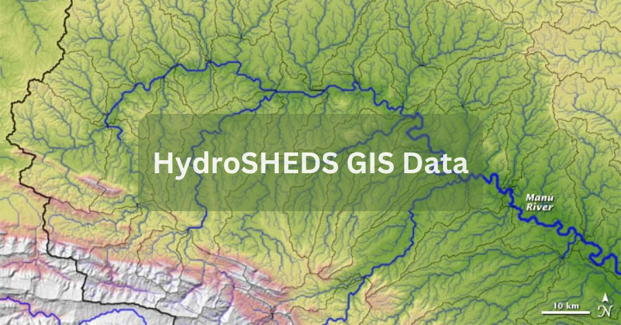
HydroSHEDS GIS Data, which stands for Hydrological data and maps based on Shuttle Elevation Derivatives at multiple Scales, is a valuable resource for water management …
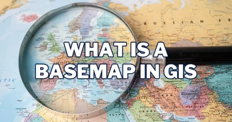
Basemaps play a pivotal role in providing geographic context to maps and other data layers. These maps are essential for enhancing spatial analysis and modeling, …

Creating Features When it comes to the world of Geographic Information Systems (GIS), you’ve got a vast playground of data at your fingertips. Imagine being …

Are you ready to embark on a journey into the world of GIS programming? If so, get ready to explore the vast landscape of programming …

Unlock the Secrets of the Cosmos with “The Grand Satellite Catalog” Embark on a celestial odyssey, exploring the technological marvels that have pioneered the realm …
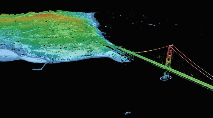
Have you ever grappled with the daunting task of finding LiDAR data sources, especially those that won’t cost you a dime? The search for free …

Unlock the Power of Autodesk AutoCAD Map 3D 2024 Experience the Future of Map Design and GIS Data Analysis with Autodesk AutoCAD Map 3D 2024 …