In today’s world, where technology is advancing at an unprecedented pace, there are various tools available to capture and analyze spatial data. Two prominent methods that have gained significant attention in the field of surveying and mapping are photogrammetry and LIDAR (Light Detection and Ranging). Both of these techniques have their strengths and weaknesses, and choosing the right sensor for a given application requires careful consideration. In this article, we will explore the differences between photogrammetry and LIDAR and discuss the factors that influence their selection.
Photogrammetry is the science of extracting measurements from photographs or images. It involves capturing multiple images of an object or a scene from different angles and then using specialized software to analyze these images and create accurate 3D models or maps. Photogrammetry relies on the principles of triangulation to calculate the position of points in 3D space. It is a versatile technique that can be applied using various imaging devices such as traditional cameras, drones, or satellite imagery.
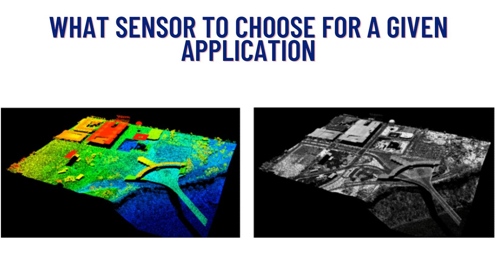
On the other hand, LIDAR is a remote sensing technology that uses laser beams to measure distances and create precise 3D representations of objects or environments. LIDAR systems emit laser pulses and measure the time it takes for these pulses to return after hitting a surface. By analyzing the reflected signals, LIDAR can generate detailed point clouds, which can be further processed to create accurate digital elevation models, terrain maps, or 3D reconstructions. LIDAR is commonly used in applications that require high-resolution data, such as topographic mapping, autonomous vehicles, forestry, and urban planning.
Now let’s delve into the factors that influence the choice between photogrammetry and LIDAR for a given application:
- Accuracy and Resolution: LIDAR typically provides high accuracy and resolution, especially in terms of vertical accuracy. It excels in capturing fine details and highly accurate elevation data. Photogrammetry, on the other hand, can achieve comparable accuracy but may be limited by the quality of the images and the processing techniques used.
- Cost: Cost is an important consideration for many applications. Photogrammetry can be more cost-effective since it can be performed using consumer-grade cameras or even smartphones. LIDAR, on the other hand, requires specialized equipment and is generally more expensive.
- Data Density and Coverage: LIDAR systems produce dense point clouds with millions of individual points, allowing for detailed analysis. Photogrammetry, while capable of producing high-resolution data, may struggle to capture fine details in certain situations. However, photogrammetry can cover larger areas more quickly, making it suitable for large-scale projects.
- Environmental Considerations: LIDAR can penetrate dense vegetation and capture ground-level data, making it ideal for forestry or environmental monitoring. Photogrammetry, on the other hand, can be affected by obstructions like trees or buildings, which can hinder the accuracy and completeness of the data.
- Mobility and Flexibility: Photogrammetry is highly portable and can be conducted using lightweight equipment, such as drones. This makes it an excellent choice for capturing data in remote or inaccessible areas. LIDAR systems are often larger and require more resources, making them less agile.
In conclusion, both photogrammetry and LIDAR have their unique advantages and are suitable for different applications. Photogrammetry offers a cost-effective and versatile solution for many projects, particularly when large areas need to be covered or when budget constraints exist. LIDAR, with its high accuracy and resolution, is well-suited for applications that demand detailed and precise measurements, especially in complex environments. The decision ultimately depends on the specific requirements of the project, the available resources, and the desired outcomes. Understanding the strengths and limitations of each technology is crucial in choosing the right sensor for a given application.

