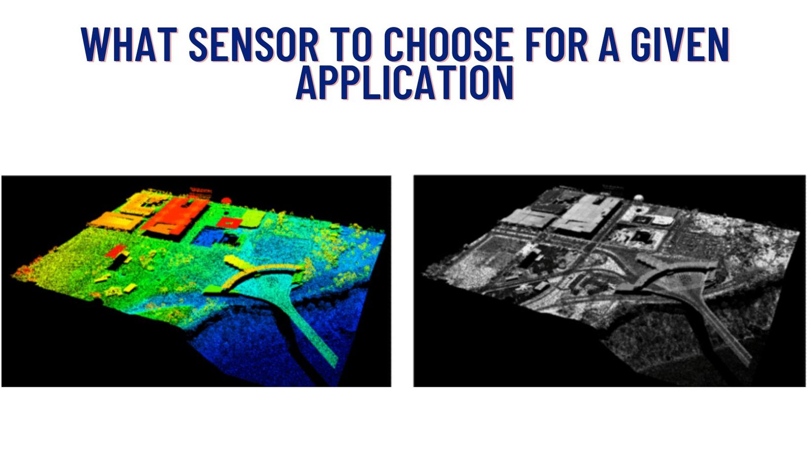
Photogrammetry vs. LIDAR: What Sensor to Choose for a Given Application
In today’s world, where technology is advancing at an unprecedented pace, there are various tools available to capture and analyze spatial data. Two prominent methods …
In today’s world, where technology is advancing at an unprecedented pace, there are various tools available to capture and analyze spatial data. Two prominent methods …
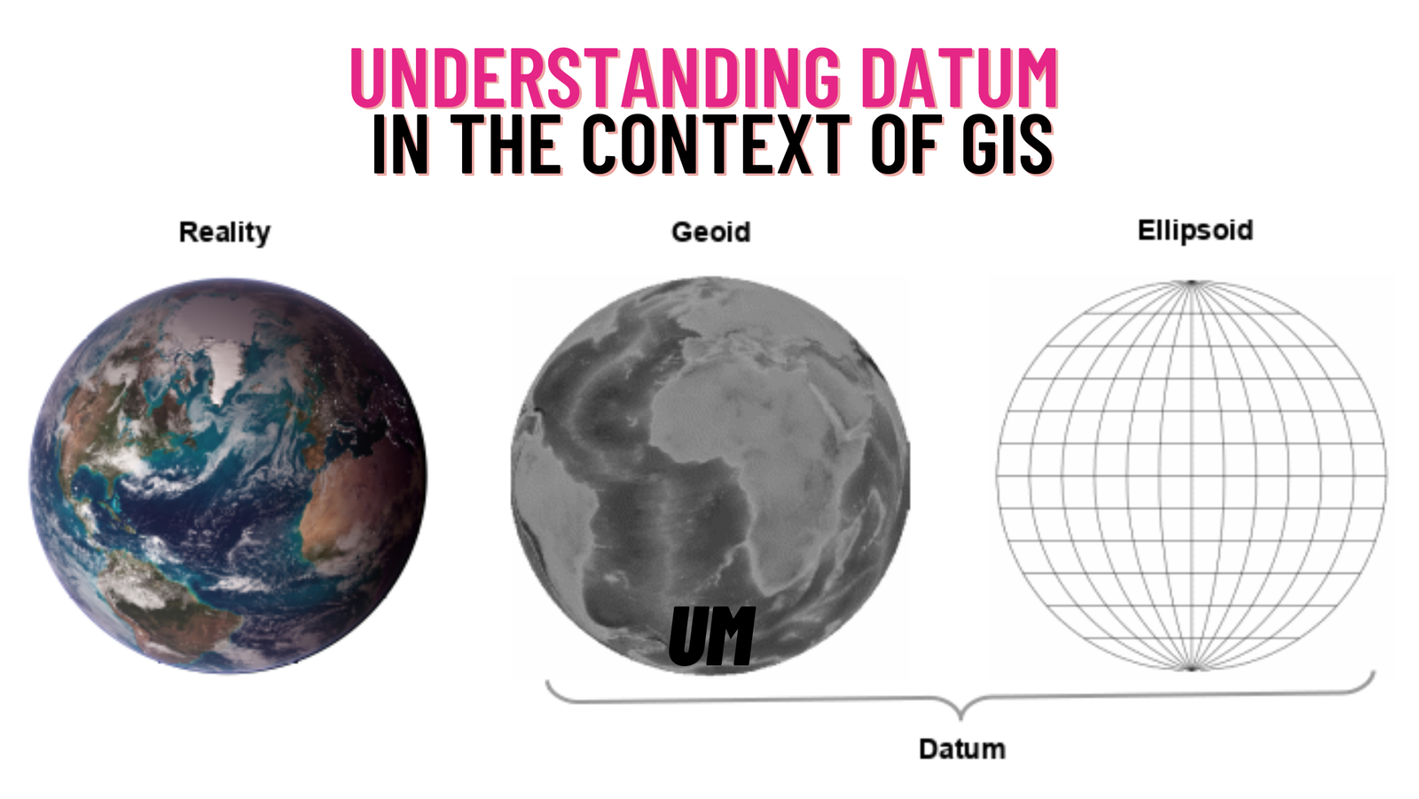
In the field of Geographic Information Systems (GIS), a crucial aspect that governs the accurate representation and analysis of spatial data is the concept of …