A Comprehensive Guide to Adding Shapefile Layers in ArcGIS Online
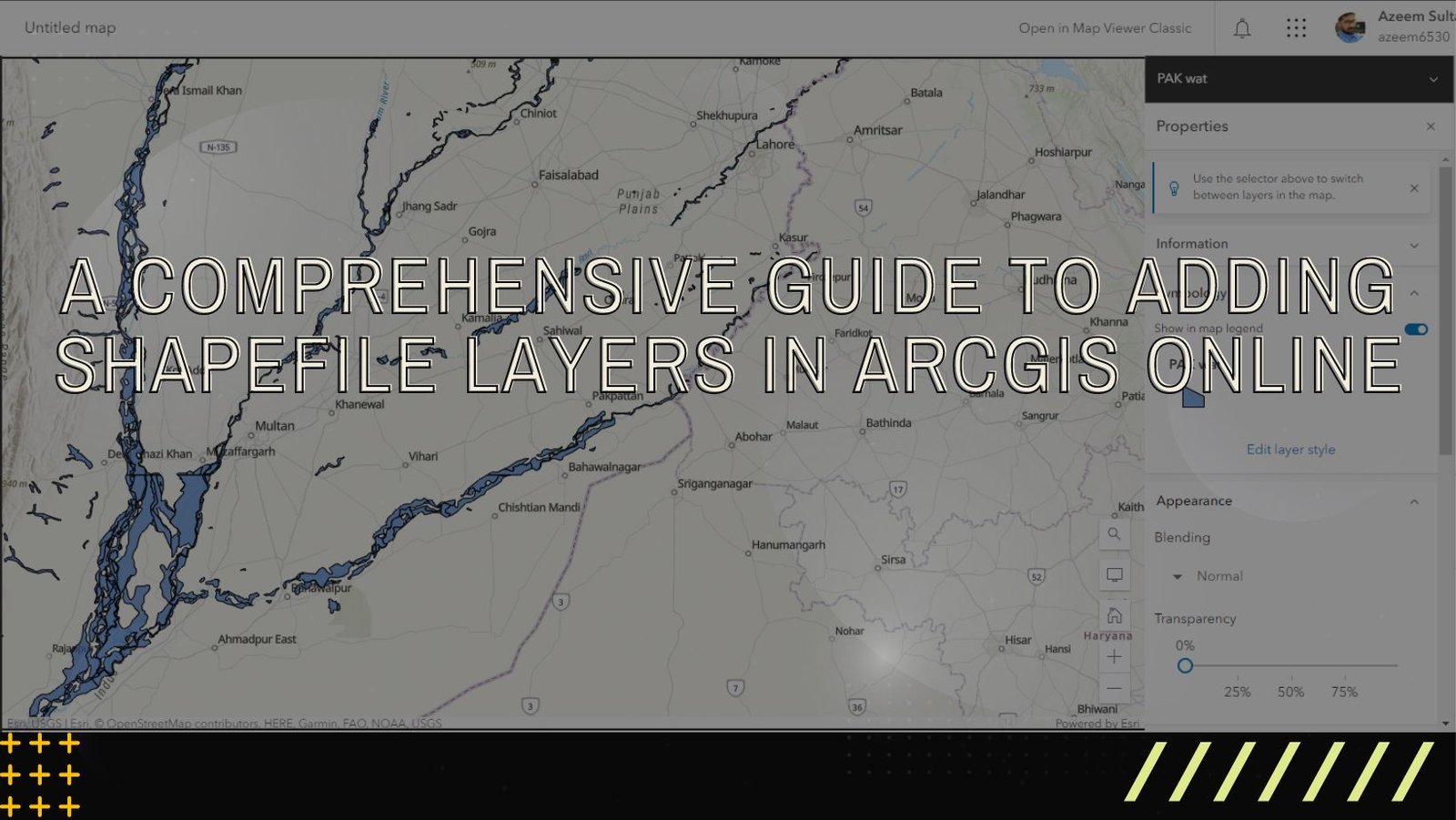
ArcGIS Online is a versatile and user-friendly platform that enables users to explore, analyze, and share geographic data. One of the fundamental tasks in ArcGIS …
ArcGIS Online is a versatile and user-friendly platform that enables users to explore, analyze, and share geographic data. One of the fundamental tasks in ArcGIS …

Introduction: GIS offers an exciting avenue for understanding solar eclipses, combining spatial thinking, critical thinking, and content knowledge. Explore the fascinating world of solar eclipses …

Remote sensing technology has revolutionized our ability to observe and understand the Earth’s surface from space. High-resolution satellite imagery plays a crucial role in various …
Introduction: Geographic Information System (GIS) technology has become indispensable for organizations looking to leverage spatial data for better decision-making and analysis. Esri, a global leader …