
I will write custom google earth engine scripts for satellite image processing
I will do accurate map digitizing and georeferencing HQ precision , arcgis , qgis
I will do accurate map digitizing and georeferencing HQ precision , arcgis , qgis
I will write custom google earth engine scripts for satellite image processing
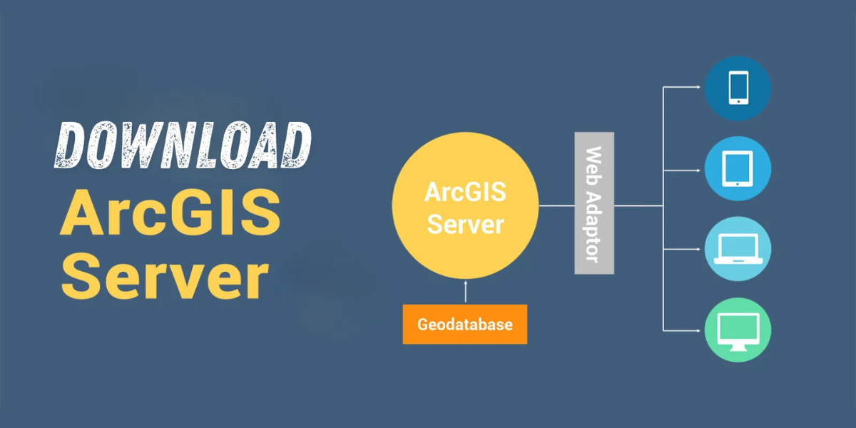
Download Are you looking for a way to share geographic information with others in your organization and beyond? Look no further than ESRI ArcGIS Server …

Thinking about making extra money with GIS? I’m not super excited about freelance GIS work. There are some downsides, like no steady paycheck, no benefits, …

One of the most basic questions asked of a GIS (Geographic Information System) is “What’s on top of what?” For example: Before GIS, cartographers would …
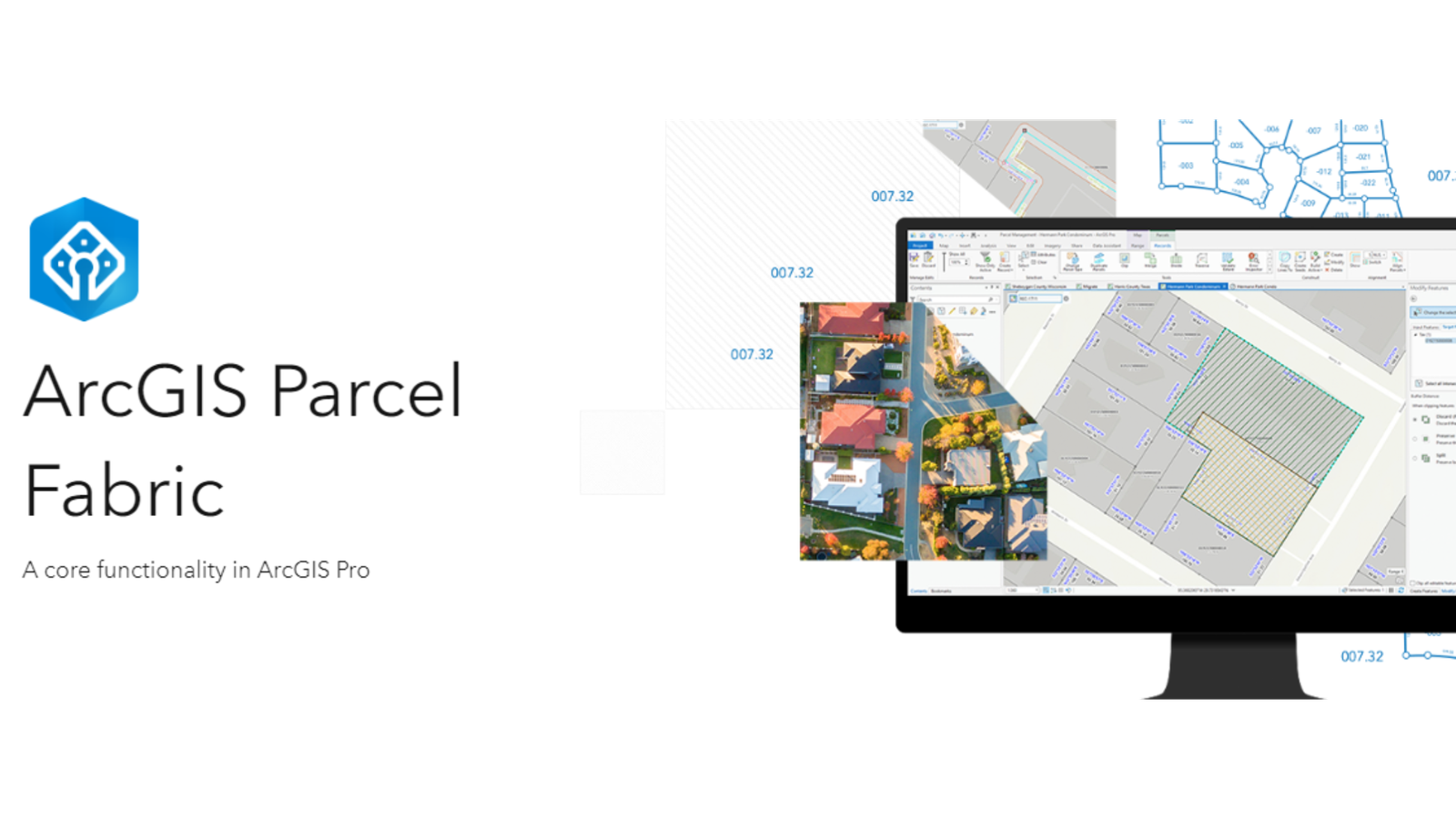
Level: Beginner What you’ll need: No extra files needed, it’s already on your computer! Where to find it: Look in your ArcGIS folder under “ArcGIS\ArcTutor\Parcel …
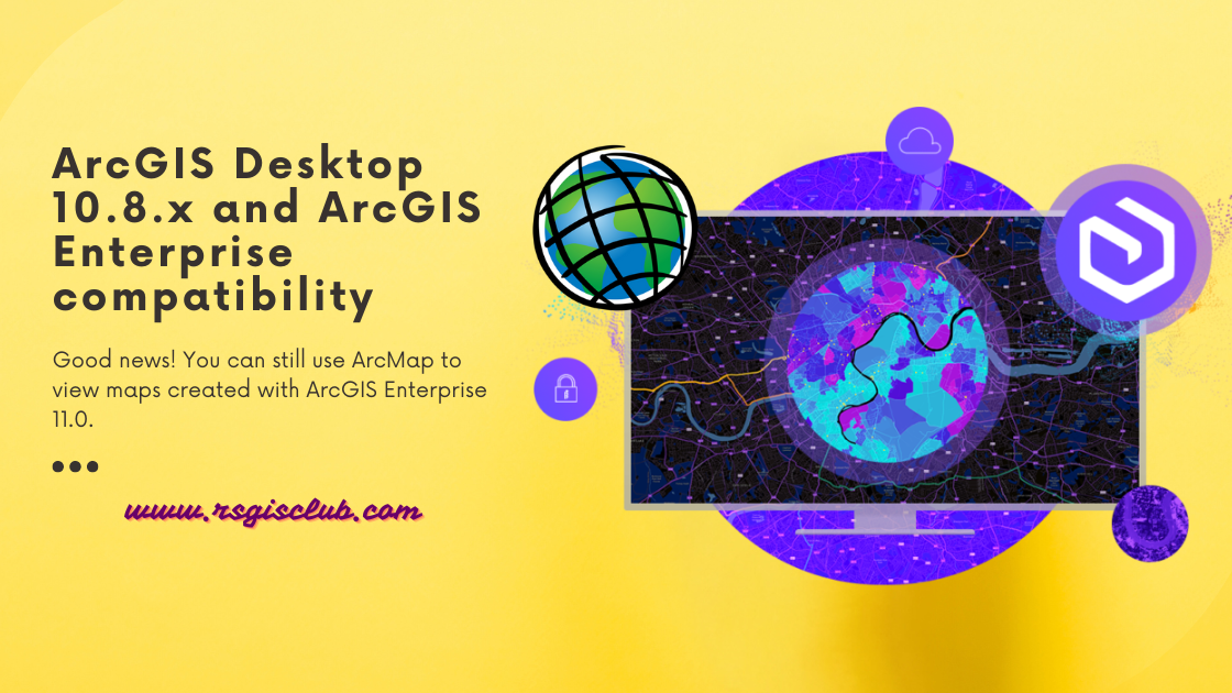
ArcGIS Desktop is getting old and won’t be supported after March 1, 2026. That means there won’t be any more updates or new versions for …
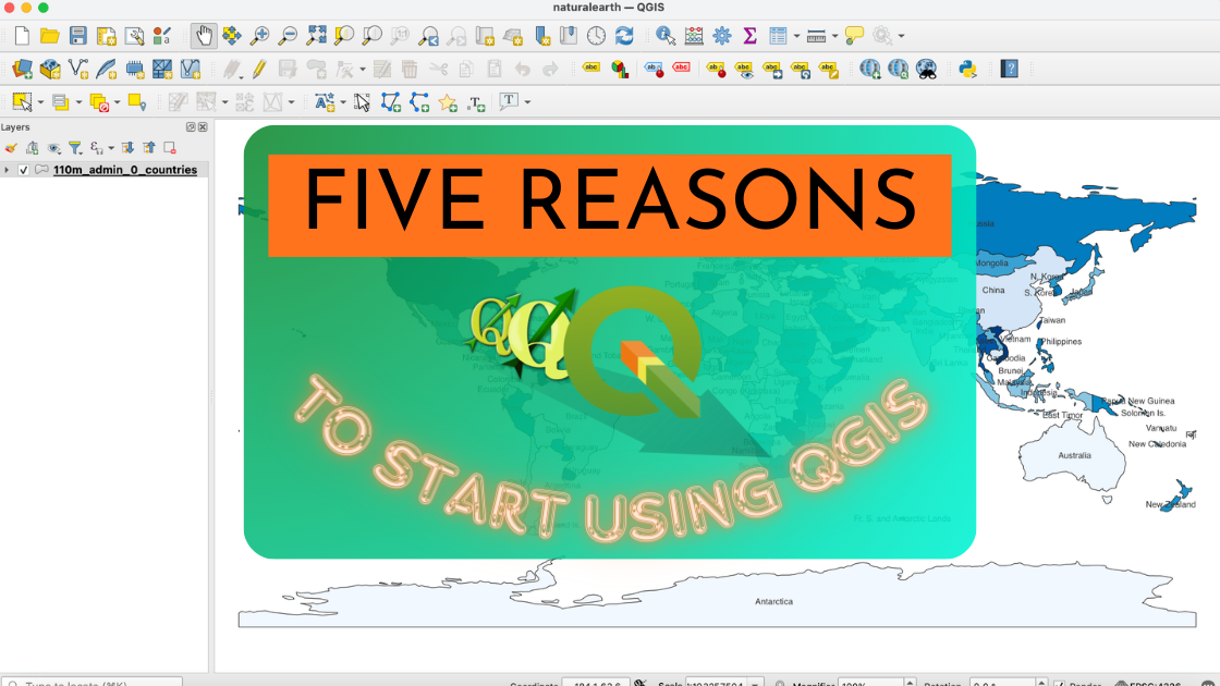
If you’re unsure about trying out the open source GIS platform called QGIS, here are five really good reasons why you should give it a …

What Are As-Built Drawings? Imagine as-built drawings as a diary for a building. They capture every little detail from the very beginning of construction all …

Whether you’re someone who studies Earth science, a person really interested in geography, or just someone curious about the world, there are many different types …