What Is 3D Mapping? A Beginner’s Guide
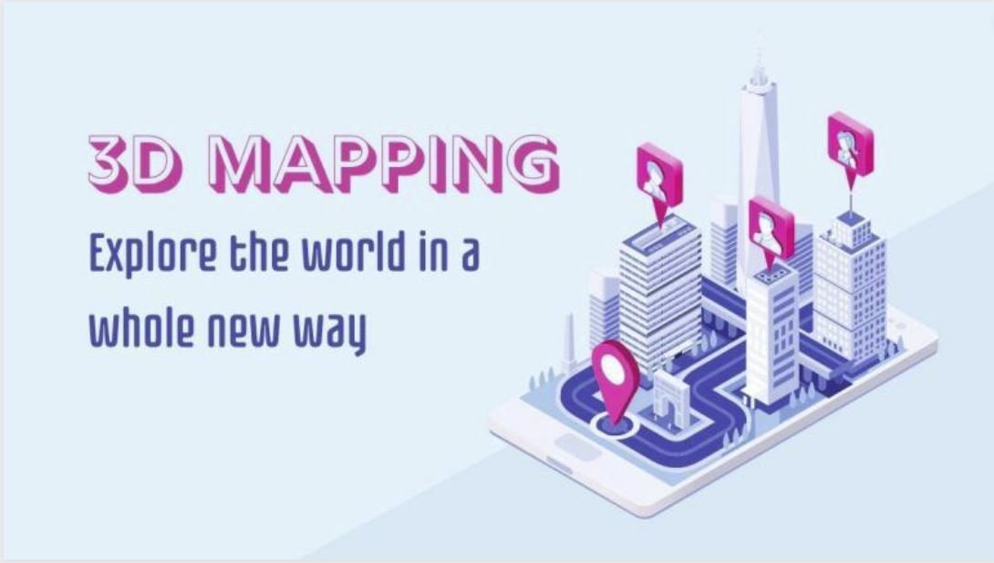
Introduction 3D mapping, an innovative technology making waves in the geospatial industry, involves capturing elevated locations in a digital format. In simpler terms, it creates …
Introduction 3D mapping, an innovative technology making waves in the geospatial industry, involves capturing elevated locations in a digital format. In simpler terms, it creates …
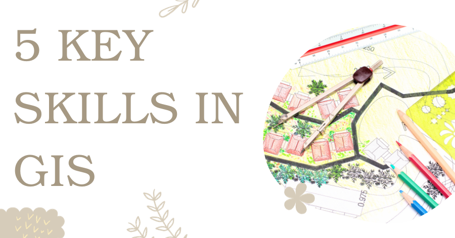
Are you new to GIS and eager to step into the exciting world of Geographic Information Systems? Numerous GIS professionals have already paved the way …
Wondering what to include in your maps? This guide, acting as your compass, outlines 33 map elements that will steer you in the right direction, …
In the realm of content creation, three crucial factors come into play: “perplexity,” “burstiness,” and “predictability.” Perplexity serves as the barometer of text complexity. Meanwhile, …
Request For Data Pakistan, with its diverse geography and stunning landscapes, boasts a wide array of water bodies that contribute significantly to the nation’s beauty, …
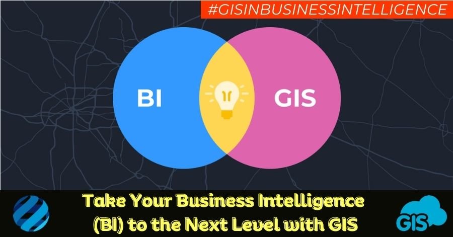
Introduction In today’s fast-paced business world, data is king. Companies are constantly collecting vast amounts of information to make informed decisions and gain a competitive …
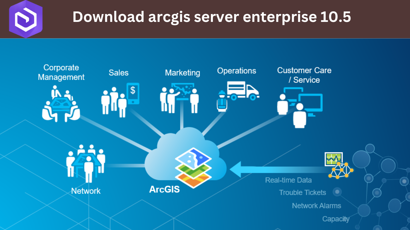
ArcGIS Server Enterprise 10.5 is a powerful tool in the world of geography and mapping. It might sound complex, but let’s break it down in …
Metadata plays a pivotal role in the world of Geographic Information Systems (GIS). It provides valuable information about geospatial datasets, enabling users to comprehend the …

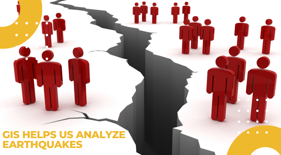
Introduction In today’s world, emergencies and disasters have become an unfortunate reality that can strike at any time and anywhere. From natural disasters like earthquakes, …
Remote sensing technology has revolutionized our ability to observe and understand the Earth’s surface from space. High-resolution satellite imagery plays a crucial role in various …