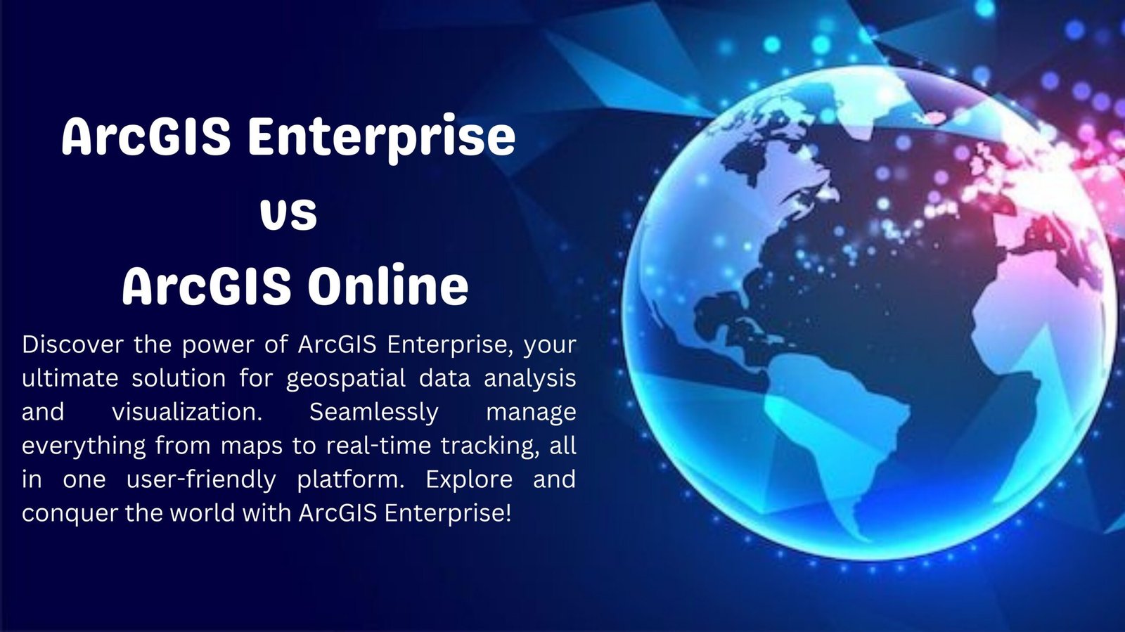
Skip to content
Remote Sensing & GIS Club

Remote Sensing & GIS Club

  • Software
  • GIS Blogs
  • Quiz
  • Maps
  • Portfolio
  • Online GIS Tools

arcgis

Understanding the Distinction between Computer Science and Geographic Information Systems (GIS)

July 7, 2023

Introduction: In the vast landscape of technology and information management, two fields often coexist but serve different purposes: Computer Science and Geographic Information Systems (GIS). …

Read more

Leave a comment

Understanding the Differences: Supervised vs. Unsupervised Classification in Remote Sensing and Image Analysis

July 5, 2023July 5, 2023

Supervised and unsupervised classification are two different approaches used in remote sensing and image analysis for classifying and categorizing pixels or objects within an image. …

Read more

Leave a comment

Seamless Data Exchange: Converting SHP to DWG Using ArcGIS

July 4, 2023

ArcGIS, developed by Esri, is a powerful geographic information system (GIS) software widely used by professionals in various fields such as urban planning, environmental management, …

Read more

Leave a comment

Application of Geographic Information Systems (GIS) in the Medical Field

May 22, 2023

Geographic Information Systems (GIS) have revolutionized various industries, and the medical field is no exception. GIS technology, which combines spatial data with advanced analytics, has …

Read more

1 Comment

Understanding the Differences: ArcGIS vs ArcPro”

April 13, 2023

ArcGIS and ArcPro are two software applications that are widely used in the field of Geographic Information Systems (GIS). Both of these applications are developed …

Read more

Leave a comment
Newer posts
← Previous Page1 … Page4 Page5
  • Featured
  • Fiverr
  • GIS Blogs
  • Jobs
  • Maps
  • Reviews
  • Software
  • Tools
  • Uncategorized

Tags

advance GIS application if gis in agriculture arcgis arc gis Arcgis online arcgisonline arcgis pro arcmap cartography data analysis Data Visualization esri esri company geographic information geographic information system geo information system geo maps Geospatial geospatial analysis Geospatial Data geospatial information systems Geospatial Technology gis gis analysis gis jobs GIS Mapping GIS professionals gis software google earth map mapping perfect gis python qgis remote sensing remote sensing data reviews satellite imagery soledad sony alpha spatial Spatial Analysis Spatial Data tech visualization
© RSGIS Club. All Rights Reserved.