ArcGIS Desktop & Enterprise: Compatibility Update
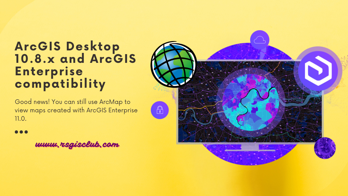
ArcGIS Desktop is getting old and won’t be supported after March 1, 2026. That means there won’t be any more updates or new versions for …
ArcGIS Desktop is getting old and won’t be supported after March 1, 2026. That means there won’t be any more updates or new versions for …
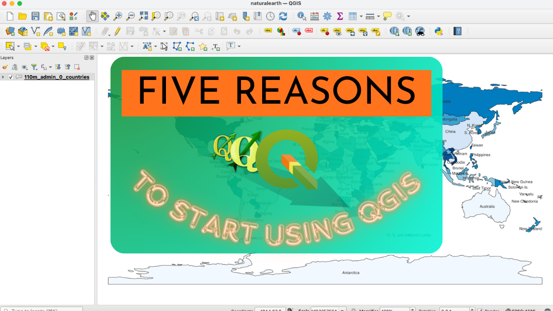
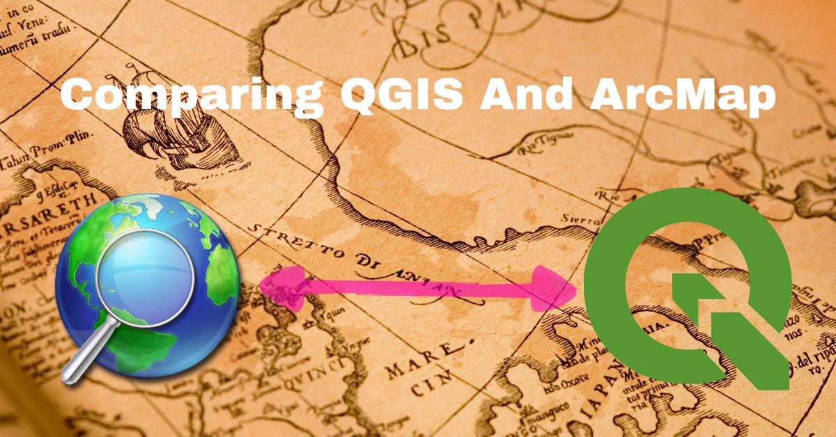
If you’re unsure about trying out the open source GIS platform called QGIS, here are five really good reasons why you should give it a …
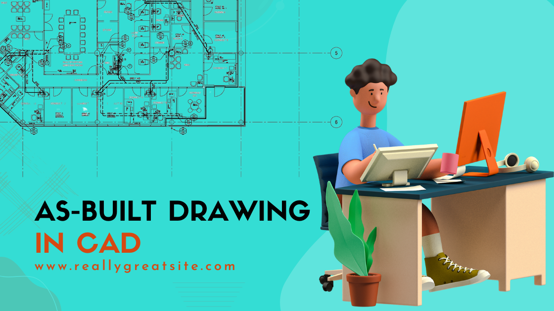
What Are As-Built Drawings? Imagine as-built drawings as a diary for a building. They capture every little detail from the very beginning of construction all …
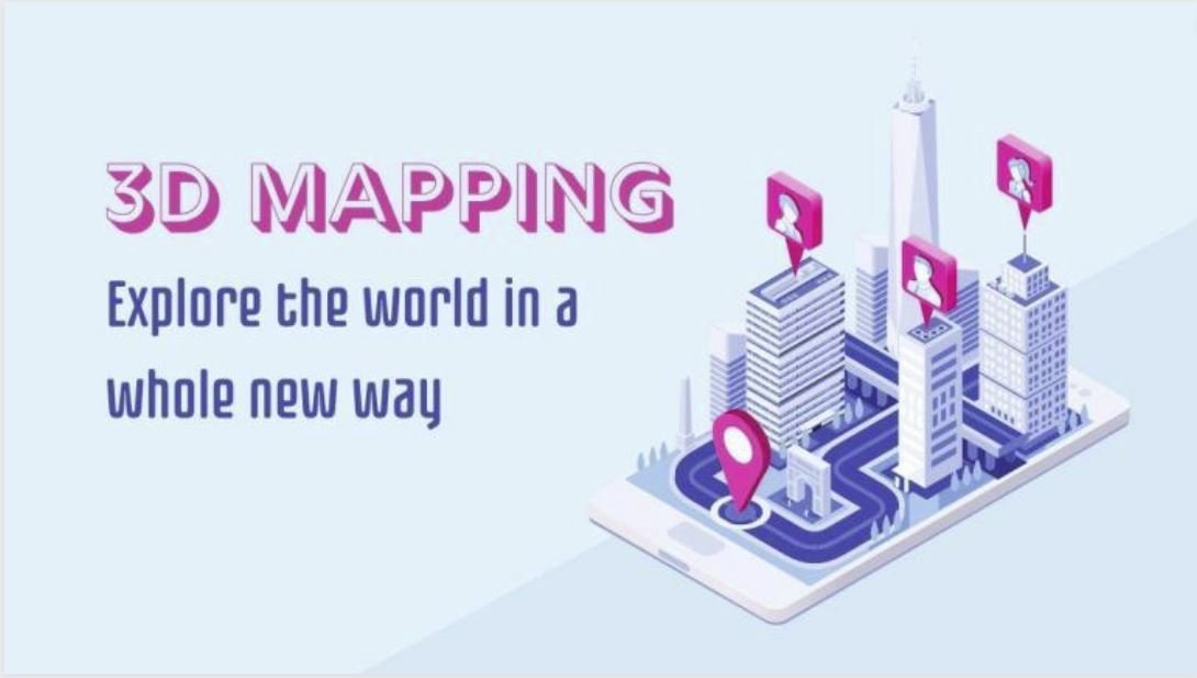
Introduction 3D mapping, an innovative technology making waves in the geospatial industry, involves capturing elevated locations in a digital format. In simpler terms, it creates …
In the realm of content creation, three crucial factors come into play: “perplexity,” “burstiness,” and “predictability.” Perplexity serves as the barometer of text complexity. Meanwhile, …
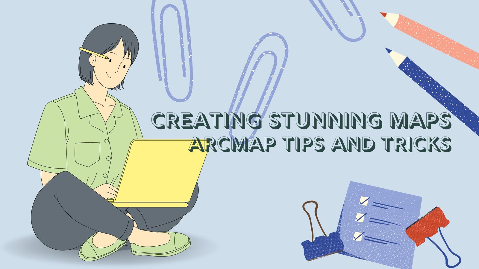
Introduction ArcMap is a cartographer’s dream, offering a multitude of tools to create visually captivating maps. Whether you’re a seasoned GIS professional or just starting …
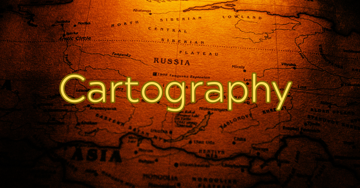
Introduction Cartography, the art and science of mapmaking, has played a pivotal role in human history for centuries. From ancient explorations to modern navigation systems, …
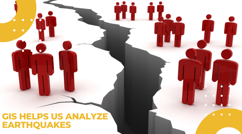
Geographic Information System (GIS) software is a critical tool for geospatial analysis, data visualization, and decision-making in various fields, including environmental management, urban planning, and …

ArcGIS and ArcPro are two software applications that are widely used in the field of Geographic Information Systems (GIS). Both of these applications are developed …