Autocad Map 3D: How It Works
Introduction AutoCAD Map 3D is a powerful software application that combines traditional computer-aided design (CAD) capabilities with the functionality of geographic information systems (GIS). It …
Introduction AutoCAD Map 3D is a powerful software application that combines traditional computer-aided design (CAD) capabilities with the functionality of geographic information systems (GIS). It …
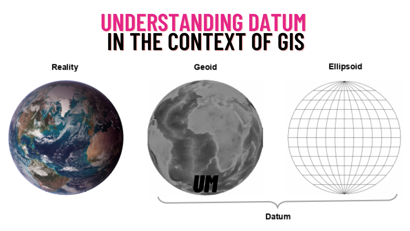
In the field of Geographic Information Systems (GIS), a crucial aspect that governs the accurate representation and analysis of spatial data is the concept of …