Skip to content
Remote Sensing & GIS Club

Remote Sensing & GIS Club

  • Software
  • GIS Blogs
  • Quiz
  • Jobs
  • Portfolio
  • Tools
    • Shapefile Viewer
    • Calculating UTM Zone and SRID from UTM coordinates

create 3d models

LiDAR vs. Photogrammetry: Understanding Mapping Magic

March 1, 2024

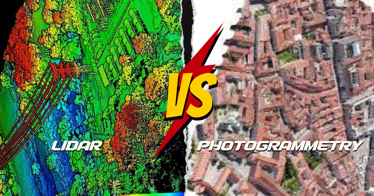
What’s the Difference? LiDAR and photogrammetry are cool ways to make maps of the Earth, but they do it differently. LiDAR is like using a …

Read more

  • Featured
  • Fiverr
  • GIS Blogs
  • Jobs
  • Maps
  • Reviews
  • Software
  • Tools
  • Uncategorized

Tags

advance GIS application if gis in agriculture arcgis arc gis Arcgis online arcgisonline arcgis pro arcmap cartography data analysis Data Visualization esri esri company geographic information geographic information system geo information system geo maps Geospatial geospatial analysis Geospatial Data geospatial information systems Geospatial Technology gis gis analysis gis jobs GIS Mapping GIS professionals gis software map mapping my esri perfect gis python qgis remote sensing remote sensing data reviews satellite imagery soledad sony alpha spatial Spatial Analysis Spatial Data tech visualization
© RSGIS Club. All Rights Reserved.