Skip to content
Remote Sensing & GIS Club

Remote Sensing & GIS Club

  • Software
  • GIS Blogs
  • Quiz
  • Jobs
  • Portfolio
  • Tools
    • Shapefile Viewer
    • Calculating UTM Zone and SRID from UTM coordinates

Esri software

arcgis server free download

ESRI ArcGIS Server Enterprise 10.5 Free Download

December 31, 2024May 29, 2024

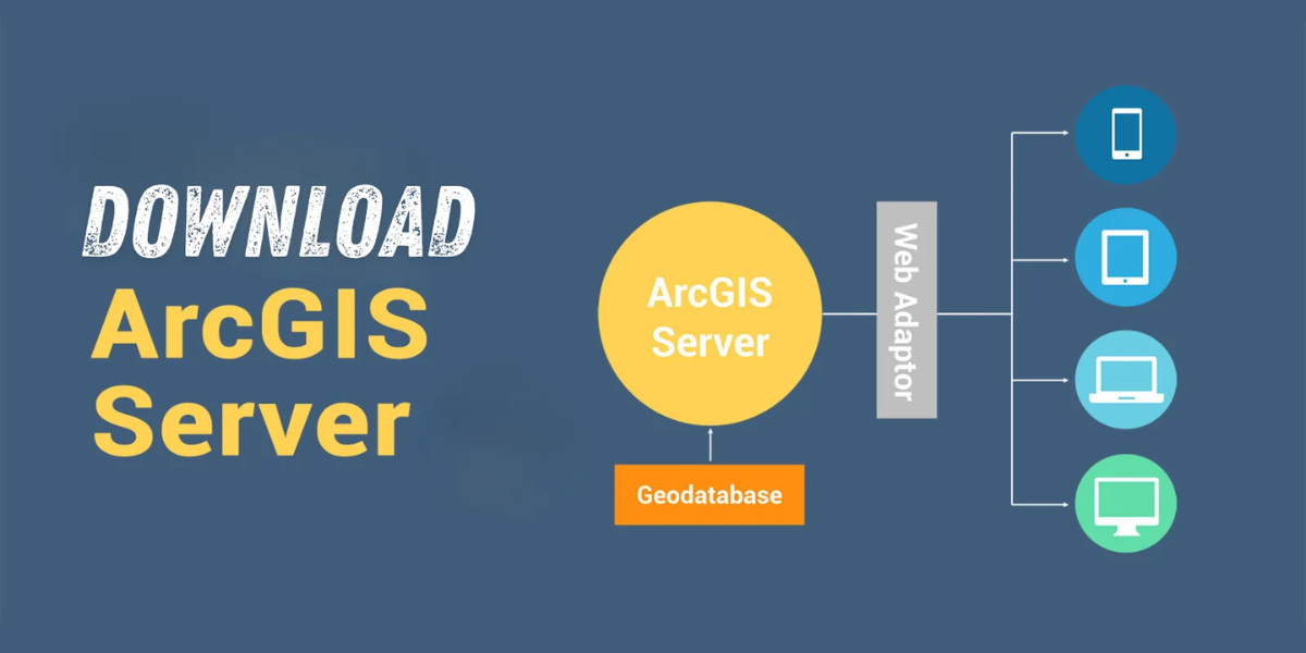
Download Are you looking for a way to share geographic information with others in your organization and beyond? Look no further than ESRI ArcGIS Server …

Read more

Tutorial: Get started with parcel fabric editing

May 3, 2024

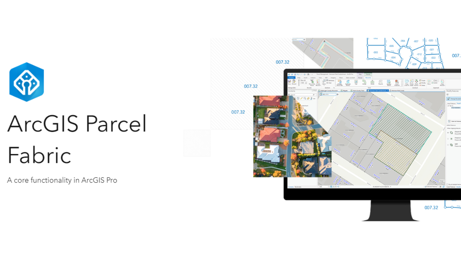
Level: Beginner What you’ll need: No extra files needed, it’s already on your computer! Where to find it: Look in your ArcGIS folder under “ArcGIS\ArcTutor\Parcel …

Read more

Certification in Geographic Information Systems (GIS): Elevating Your Professional Credibility

August 7, 2023

In the rapidly evolving world of Geographic Information Systems (GIS), having a recognized certification can be a game-changer for professionals seeking to advance their careers …

Read more

  • Featured
  • Fiverr
  • GIS Blogs
  • Jobs
  • Maps
  • Reviews
  • Software
  • Tools
  • Uncategorized

Tags

advance GIS application if gis in agriculture arcgis arc gis Arcgis online arcgisonline arcgis pro arcmap cartography data analysis Data Visualization esri esri company geographic information geographic information system geo information system geo maps Geospatial geospatial analysis Geospatial Data geospatial information systems Geospatial Technology gis gis analysis gis jobs GIS Mapping GIS professionals gis software map mapping my esri perfect gis python qgis remote sensing remote sensing data reviews satellite imagery soledad sony alpha spatial Spatial Analysis Spatial Data tech visualization
© RSGIS Club. All Rights Reserved.