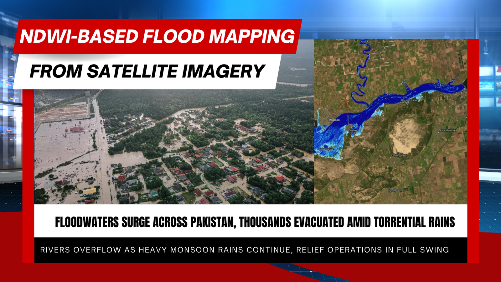
How the Normalized Difference Water Index (NDWI) Is Used to Map Flooding
The Normalized Difference Water Index (NDWI) is a widely used remote-sensing index that helps detect and measure water—both as surface water and as moisture in …
The Normalized Difference Water Index (NDWI) is a widely used remote-sensing index that helps detect and measure water—both as surface water and as moisture in …
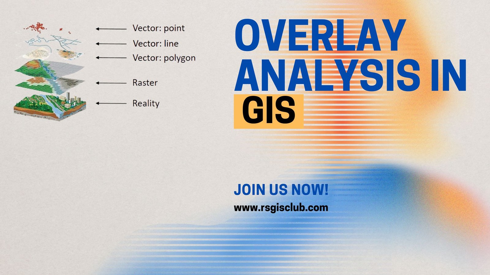
One of the most basic questions asked of a GIS (Geographic Information System) is “What’s on top of what?” For example: Before GIS, cartographers would …