What Is Terrestrial Laser Scanning?
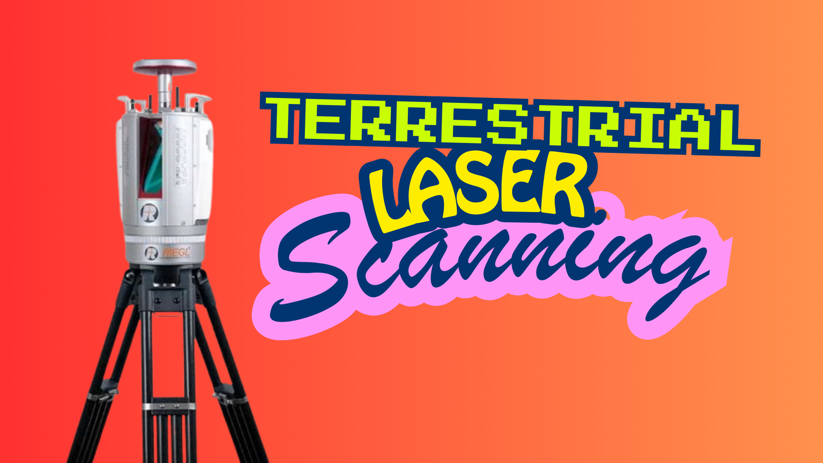
Terrestrial Laser Scanning (TLS) is a ground-based LiDAR technology used to capture highly detailed 3D information. Unlike airborne LiDAR systems that collect data from above, …
Terrestrial Laser Scanning (TLS) is a ground-based LiDAR technology used to capture highly detailed 3D information. Unlike airborne LiDAR systems that collect data from above, …

In the rapidly evolving world of Geographic Information Systems (GIS), having a recognized certification can be a game-changer for professionals seeking to advance their careers …

The Geographic Information System (GIS) industry in Pakistan has witnessed remarkable growth in recent years. With increasing awareness of the importance of spatial data and …
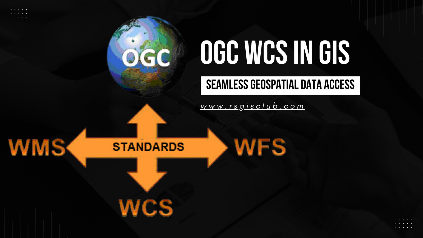
In the realm of Geographic Information Systems (GIS), the efficient management and dissemination of geospatial data are of paramount importance. The Open Geospatial Consortium (OGC) …

Introduction In today’s world, emergencies and disasters have become an unfortunate reality that can strike at any time and anywhere. From natural disasters like earthquakes, …
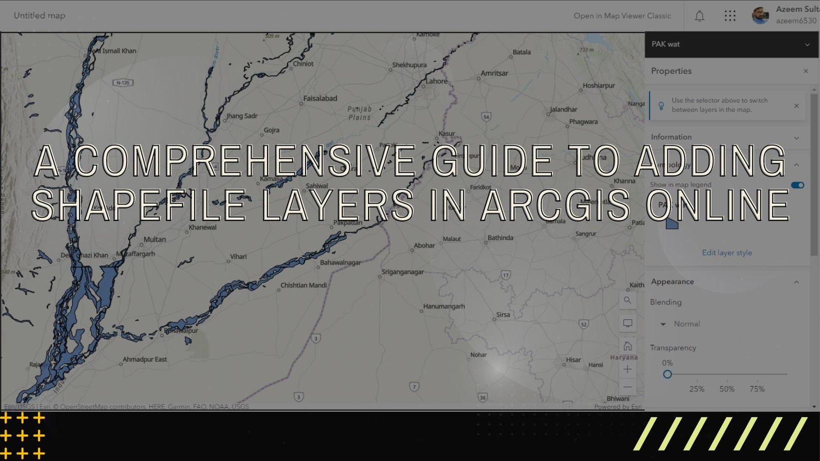
ArcGIS Online is a versatile and user-friendly platform that enables users to explore, analyze, and share geographic data. One of the fundamental tasks in ArcGIS …