
Top 15 Python Libraries for GIS
Python Libraries for GIS and Mapping Python libraries are great tools for GIS because they help you do a lot more with it. Using Python …
Python Libraries for GIS and Mapping Python libraries are great tools for GIS because they help you do a lot more with it. Using Python …

About the job About the Role: Are you a GIS Developer looking to make your next career move? Trouve Labs is on the hunt for …

GIS Formats: Don’t Get Confused! Dealing with unknown GIS file formats can be frustrating for GIS analysts. But don’t worry, we’ve got you covered! We’ve …

I will do accurate map digitizing and georeferencing HQ precision , arcgis , qgis
I will write custom google earth engine scripts for satellite image processing
About the job We are a digitally native company where innovation, design and engineering meet scale. We use the latest technologies in the digital and …
Thinking about making extra money with GIS? I’m not super excited about freelance GIS work. There are some downsides, like no steady paycheck, no benefits, …
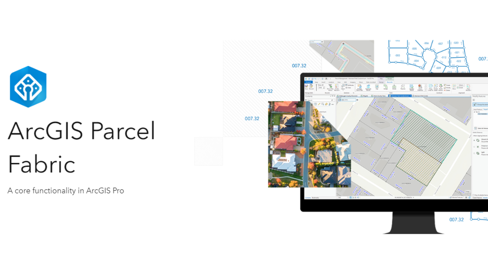
Level: Beginner What you’ll need: No extra files needed, it’s already on your computer! Where to find it: Look in your ArcGIS folder under “ArcGIS\ArcTutor\Parcel …
If you’re unsure about trying out the open source GIS platform called QGIS, here are five really good reasons why you should give it a …

What Are As-Built Drawings? Imagine as-built drawings as a diary for a building. They capture every little detail from the very beginning of construction all …