15 Best Remote Sensing Software
Whether you’re someone who studies Earth science, a person really interested in geography, or just someone curious about the world, there are many different types …
Whether you’re someone who studies Earth science, a person really interested in geography, or just someone curious about the world, there are many different types …
Are you new to GIS and eager to step into the exciting world of Geographic Information Systems? Numerous GIS professionals have already paved the way …
Basemaps play a pivotal role in providing geographic context to maps and other data layers. These maps are essential for enhancing spatial analysis and modeling, …
Creating Features When it comes to the world of Geographic Information Systems (GIS), you’ve got a vast playground of data at your fingertips. Imagine being …
In the rapidly evolving world of Geographic Information Systems (GIS), having a recognized certification can be a game-changer for professionals seeking to advance their careers …
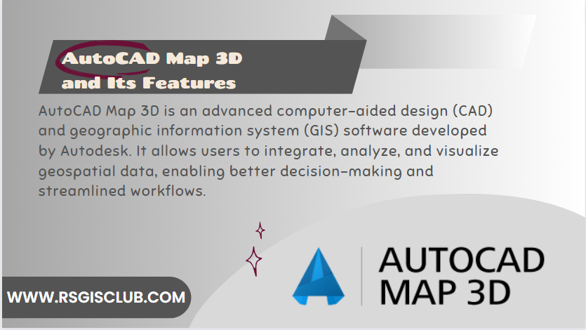
Introduction AutoCAD Map 3D is a powerful software application that combines traditional computer-aided design (CAD) capabilities with the functionality of geographic information systems (GIS). It …
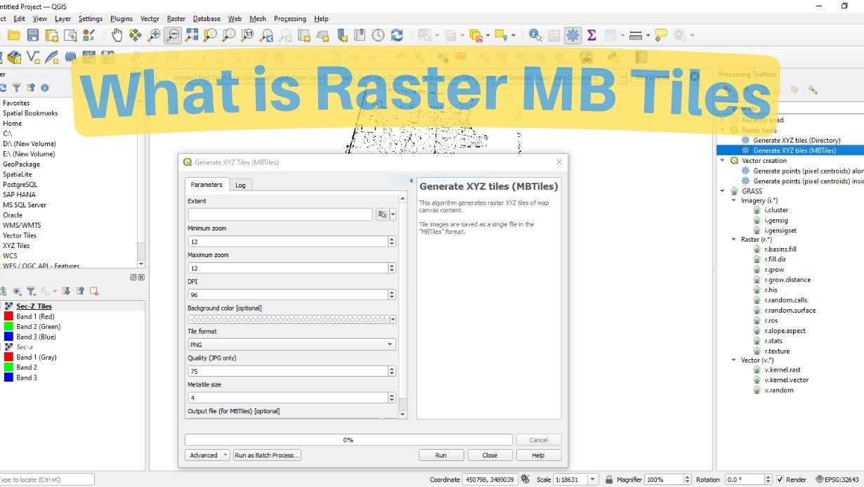
Learn about raster MB tiles and how to create them using QGIS. This comprehensive guide will walk you through the process step by step, providing …

Remote sensing technology has revolutionized our ability to observe and understand the Earth’s surface from space. High-resolution satellite imagery plays a crucial role in various …
Geographic Information System (GIS) software is a critical tool for geospatial analysis, data visualization, and decision-making in various fields, including environmental management, urban planning, and …