No Data No Problem – How to fill NoData holes in rasters
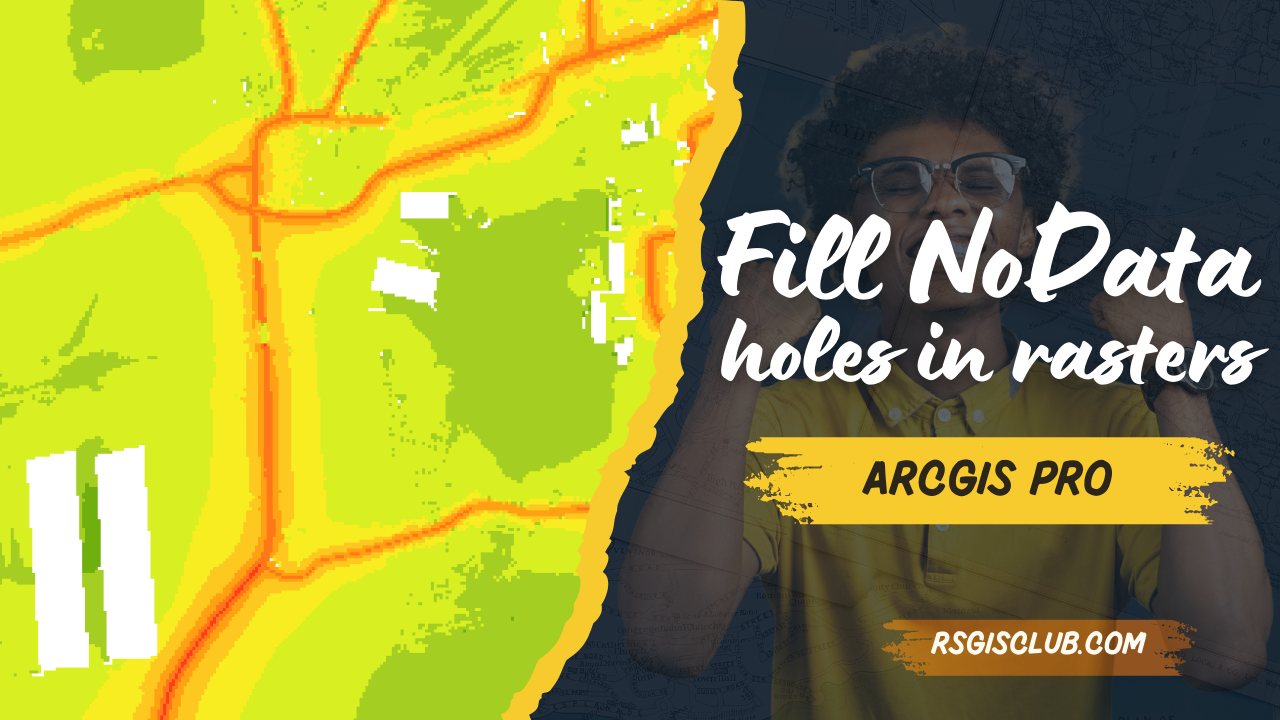
Understanding and Filling Gaps in Rasters Rasters can sometimes have holes, also known as voids, gaps, or NoData areas. These gaps can be big and …
Understanding and Filling Gaps in Rasters Rasters can sometimes have holes, also known as voids, gaps, or NoData areas. These gaps can be big and …
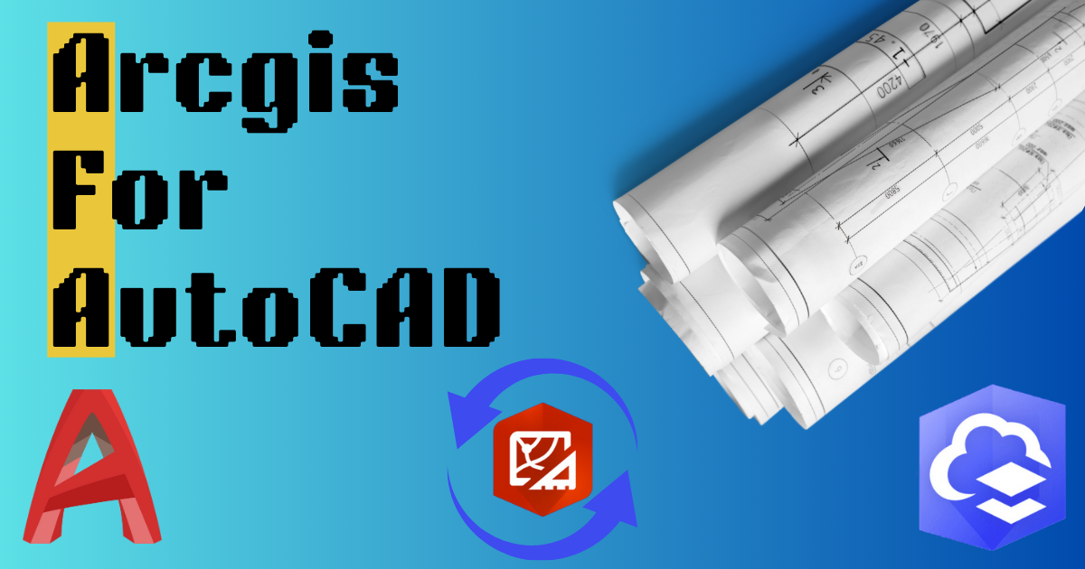
When different teams work on the same project, they can use their favorite tools together. ArcGIS helps GIS and CAD teams work together on parcel …
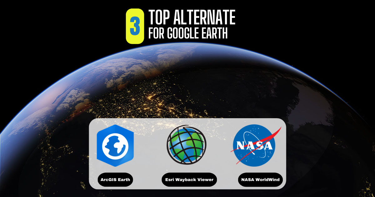
What Is Google Earth? Google Earth has always been a favorite for virtual explorers. Its historical images, 3D features, and ability to explore different places …

In Pakistan, land ownership and management are crucial aspects of rural life, overseen by local officials known as Patwaris. These village accountants play a vital …
NEOM, Saudi Arabia Job Description Sector NEOM Authority OVERVIEW Position Senior Manager Data Visualization and GIS Job Code Reports to Senior Manager Data …

Python Libraries for GIS and Mapping Python libraries are great tools for GIS because they help you do a lot more with it. Using Python …

About the job Job Purpose Candidate will be responsible of developing geospatial technologies and producing databases, interpret geospatial and geographic data. Will be performing the …

About the job About the Role: Are you a GIS Developer looking to make your next career move? Trouve Labs is on the hunt for …

GIS Formats: Don’t Get Confused! Dealing with unknown GIS file formats can be frustrating for GIS analysts. But don’t worry, we’ve got you covered! We’ve …
About the job About the Role: We are seeking a highly motivated and experienced GIS Technical Manager to lead the GIS team and play a …