Google Earth Engine: A Quick Guide for Beginners
What is Google Earth Engine (GEE)? Google Earth Engine (GEE) is a platform in the cloud that provides a massive collection of satellite imagery for …
What is Google Earth Engine (GEE)? Google Earth Engine (GEE) is a platform in the cloud that provides a massive collection of satellite imagery for …
Whether you’re someone who studies Earth science, a person really interested in geography, or just someone curious about the world, there are many different types …
Are you new to GIS and eager to step into the exciting world of Geographic Information Systems? Numerous GIS professionals have already paved the way …

Wondering what to include in your maps? This guide, acting as your compass, outlines 33 map elements that will steer you in the right direction, …
Since the iconic Blue Marble photograph taken by Apollo 17 in 1972, our understanding of Earth has been rooted in static imagery. But have you …
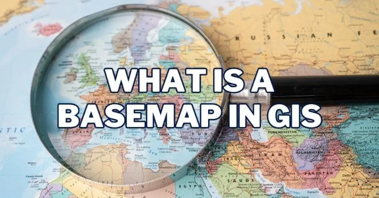
Basemaps play a pivotal role in providing geographic context to maps and other data layers. These maps are essential for enhancing spatial analysis and modeling, …
Creating Features When it comes to the world of Geographic Information Systems (GIS), you’ve got a vast playground of data at your fingertips. Imagine being …
In the realm of content creation, three crucial factors come into play: “perplexity,” “burstiness,” and “predictability.” Perplexity serves as the barometer of text complexity. Meanwhile, …
Request For Data Pakistan, with its diverse geography and stunning landscapes, boasts a wide array of water bodies that contribute significantly to the nation’s beauty, …
Introduction In today’s fast-paced business world, data is king. Companies are constantly collecting vast amounts of information to make informed decisions and gain a competitive …