Download ArcGIS Server Enterprise 10.5
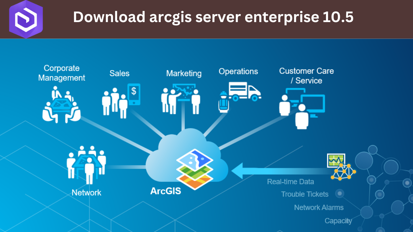
ArcGIS Server Enterprise 10.5 is a powerful tool in the world of geography and mapping. It might sound complex, but let’s break it down in …
ArcGIS Server Enterprise 10.5 is a powerful tool in the world of geography and mapping. It might sound complex, but let’s break it down in …
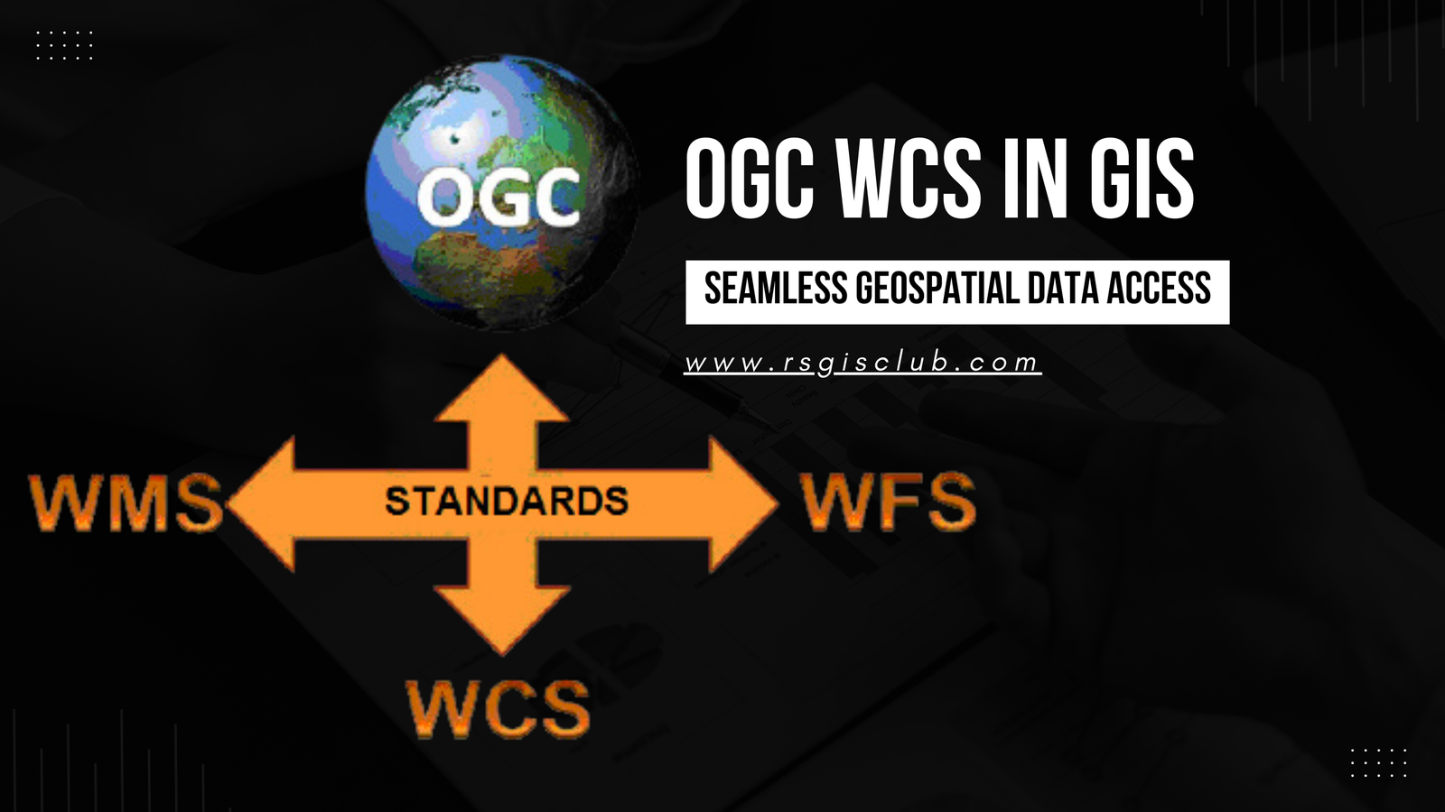
In the realm of Geographic Information Systems (GIS), the efficient management and dissemination of geospatial data are of paramount importance. The Open Geospatial Consortium (OGC) …
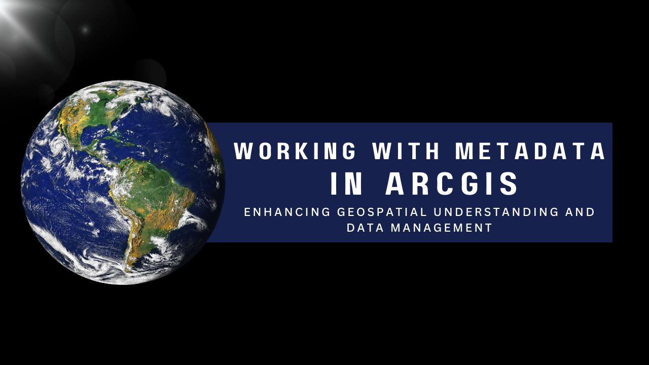
Metadata plays a pivotal role in the world of Geographic Information Systems (GIS). It provides valuable information about geospatial datasets, enabling users to comprehend the …

Introduction: Geographic Information Systems (GIS) have revolutionized the way we understand and analyze spatial data. From mapping and visualization to complex spatial analysis, GIS has …
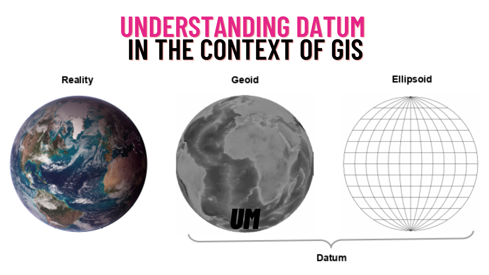
In the field of Geographic Information Systems (GIS), a crucial aspect that governs the accurate representation and analysis of spatial data is the concept of …

Introduction: GIS offers an exciting avenue for understanding solar eclipses, combining spatial thinking, critical thinking, and content knowledge. Explore the fascinating world of solar eclipses …
Landuse mapping plays a crucial role in the sustainable development of any region, providing valuable insights into the distribution and utilization of land resources. Charsadda, …
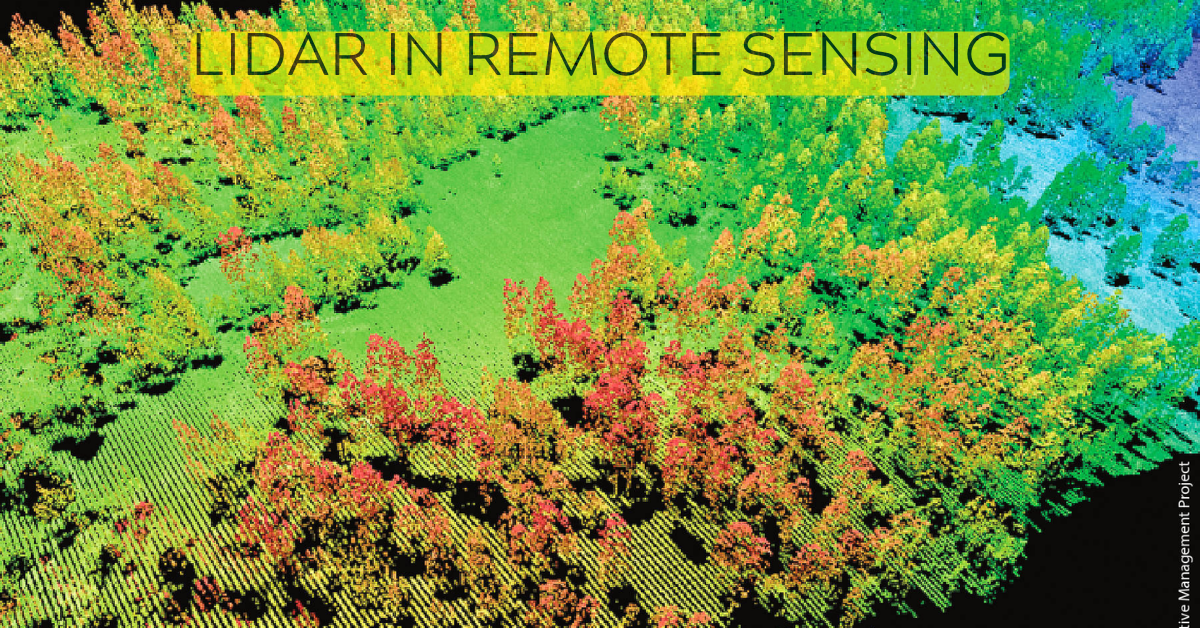
Lidar is a remote sensing technology that uses light to measure distance to objects and surfaces. It is a powerful tool for collecting data about …
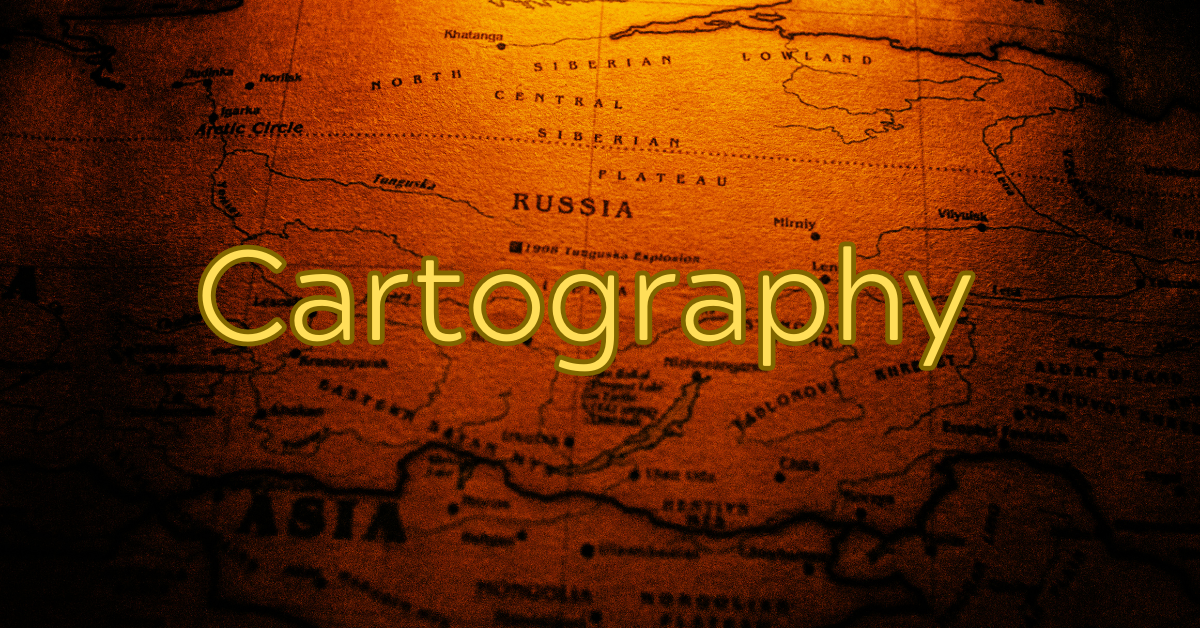
Introduction Cartography, the art and science of mapmaking, has played a pivotal role in human history for centuries. From ancient explorations to modern navigation systems, …

Geographic information systems (GIS) are computer-based tools that allow users to create, store, edit, analyze, and visualize spatial data. GIS has been used for decades …