Land Cover and Land Use: What’s the Difference?
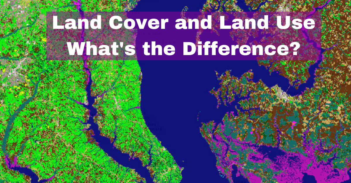
The terms land cover and land use are often used interchangeably, but they have distinct meanings. Land cover refers to the physical material at the …
The terms land cover and land use are often used interchangeably, but they have distinct meanings. Land cover refers to the physical material at the …
Geographic Information System (GIS) software is a critical tool for geospatial analysis, data visualization, and decision-making in various fields, including environmental management, urban planning, and …
Geographic Information Systems (GIS) have transformed the way we collect, analyze, and interpret spatial data in agriculture. GIS technology can be used to monitor and …

ArcGIS and ArcPro are two software applications that are widely used in the field of Geographic Information Systems (GIS). Both of these applications are developed …

NDVI (Normalized Difference Vegetation Index) is a remote sensing technique that is widely used to measure and monitor vegetation growth and health. The index is …

Introduction: Earthquakes are one of the most devastating natural disasters, causing widespread destruction and loss of life around the world. Although scientists have made significant …

Geoprocessing tools are essential to any GIS analyst. They are used to manipulate and analyze geographic data to create maps, identify patterns, and make informed …

Python is a high-level programming language widely used in Geographic Information Systems (GIS) due to its versatility and ease of use. It is an open-source …