HydroSHEDS: GIS Data for Water Resource Management
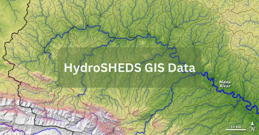
HydroSHEDS GIS Data, which stands for Hydrological data and maps based on Shuttle Elevation Derivatives at multiple Scales, is a valuable resource for water management …
HydroSHEDS GIS Data, which stands for Hydrological data and maps based on Shuttle Elevation Derivatives at multiple Scales, is a valuable resource for water management …