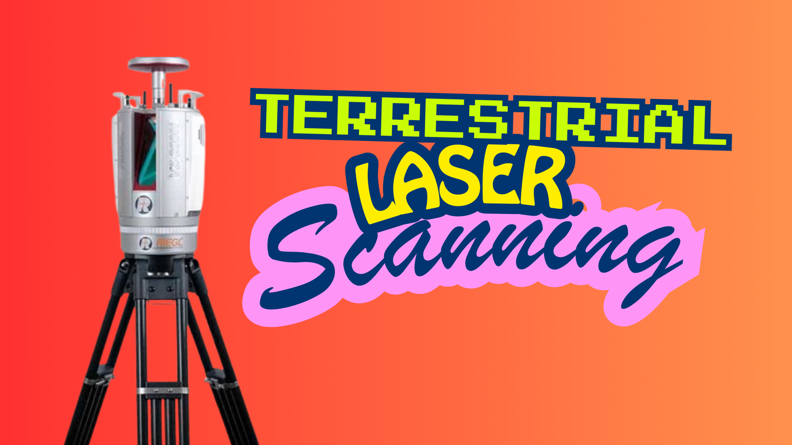
What Is Terrestrial Laser Scanning?
Terrestrial Laser Scanning (TLS) is a ground-based LiDAR technology used to capture highly detailed 3D information. Unlike airborne LiDAR systems that collect data from above, …
Terrestrial Laser Scanning (TLS) is a ground-based LiDAR technology used to capture highly detailed 3D information. Unlike airborne LiDAR systems that collect data from above, …
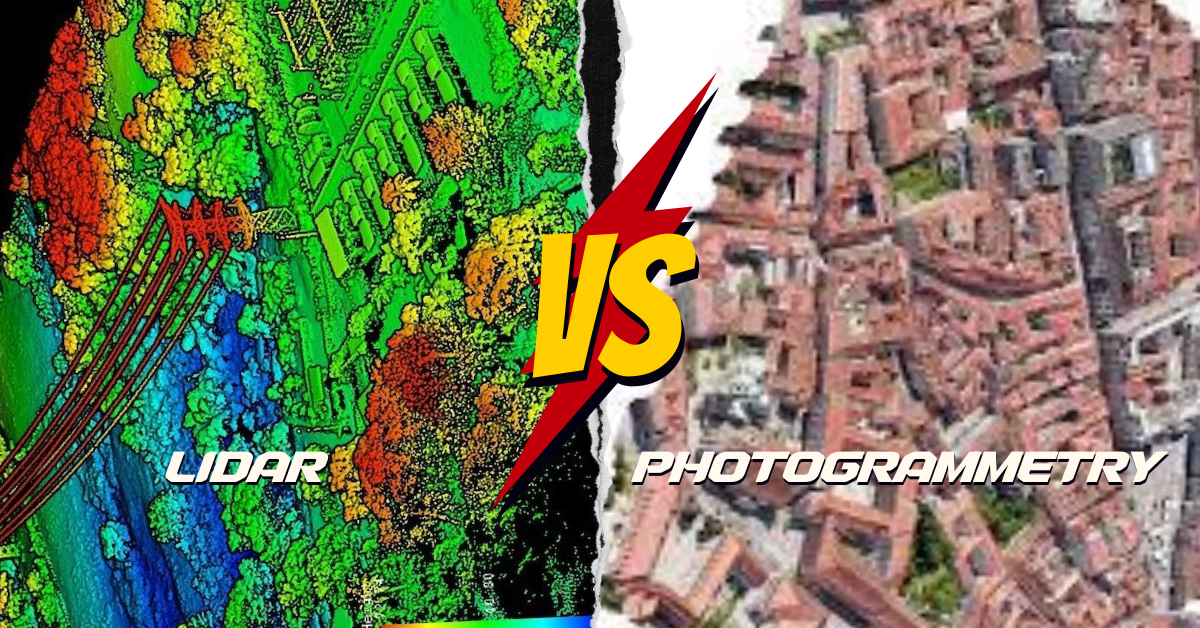
What’s the Difference? LiDAR and photogrammetry are cool ways to make maps of the Earth, but they do it differently. LiDAR is like using a …
Have you ever grappled with the daunting task of finding LiDAR data sources, especially those that won’t cost you a dime? The search for free …
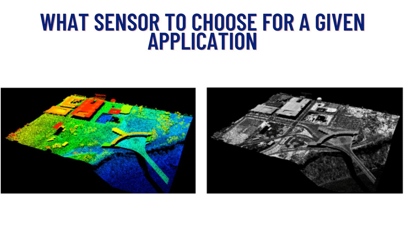
In today’s world, where technology is advancing at an unprecedented pace, there are various tools available to capture and analyze spatial data. Two prominent methods …
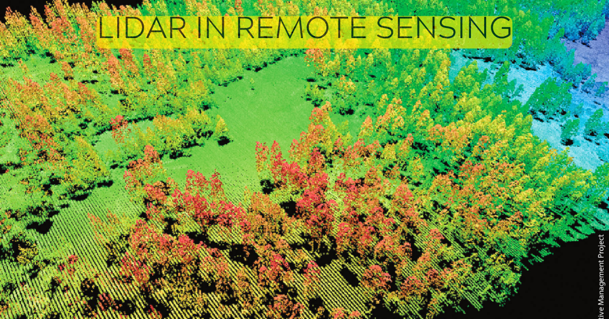
Lidar is a remote sensing technology that uses light to measure distance to objects and surfaces. It is a powerful tool for collecting data about …