Skip to content
Remote Sensing & GIS Club

Remote Sensing & GIS Club

  • Software
  • GIS Blogs
  • Quiz
  • Jobs
  • Portfolio
  • Tools
    • Shapefile Viewer
    • Calculating UTM Zone and SRID from UTM coordinates

OGC WCS

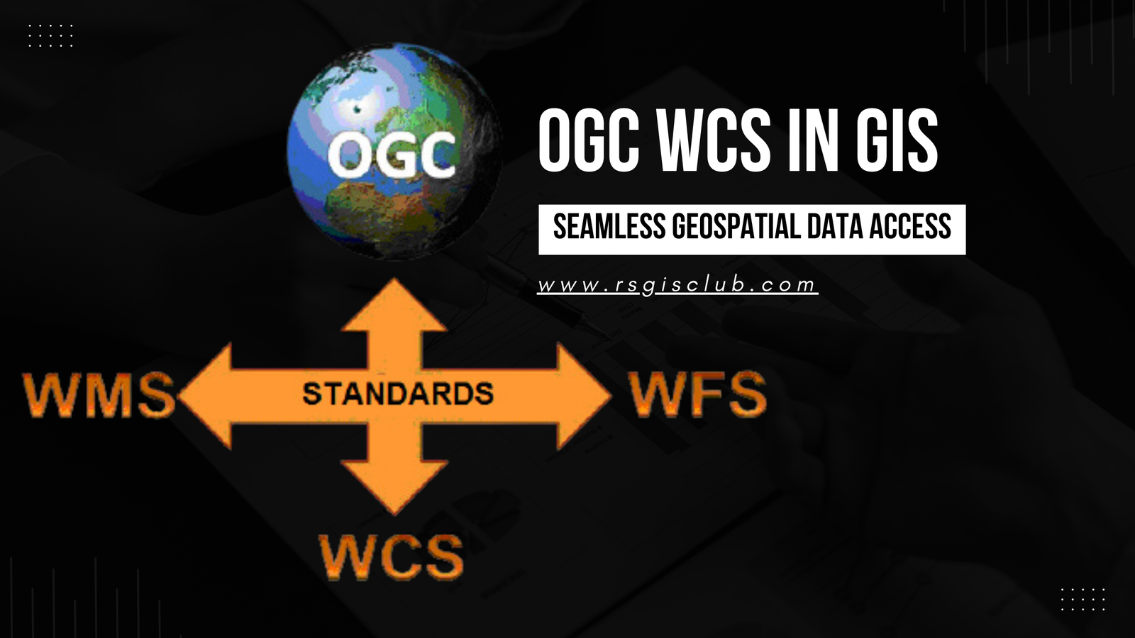
Working with OGC WCS in GIS: Enhancing Geospatial Data Accessibility and Analysis

July 25, 2023

In the realm of Geographic Information Systems (GIS), the efficient management and dissemination of geospatial data are of paramount importance. The Open Geospatial Consortium (OGC) …

Read more

  • Featured
  • Fiverr
  • GIS Blogs
  • Jobs
  • Maps
  • Reviews
  • Software
  • Tools
  • Uncategorized

Tags

advance GIS application if gis in agriculture arcgis arc gis Arcgis online arcgisonline arcgis pro arcmap cartography data analysis Data Visualization esri esri company geographic information geographic information system geo information system geo maps Geospatial geospatial analysis Geospatial Data geospatial information systems Geospatial Technology gis gis analysis gis jobs GIS Mapping GIS professionals gis software map mapping my esri perfect gis python qgis remote sensing remote sensing data reviews satellite imagery soledad sony alpha spatial Spatial Analysis Spatial Data tech visualization
© RSGIS Club. All Rights Reserved.