REASONS TO START USING QGIS
If you’re unsure about trying out the open source GIS platform called QGIS, here are five really good reasons why you should give it a …
If you’re unsure about trying out the open source GIS platform called QGIS, here are five really good reasons why you should give it a …
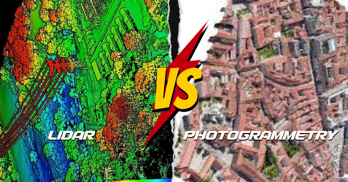
What’s the Difference? LiDAR and photogrammetry are cool ways to make maps of the Earth, but they do it differently. LiDAR is like using a …

Picture your GIS software not only being knowledgeable but also continually learning, becoming more intelligent and adept at understanding the world around us. Welcome to …
What is Google Earth Engine (GEE)? Google Earth Engine (GEE) is a platform in the cloud that provides a massive collection of satellite imagery for …
Whether you’re someone who studies Earth science, a person really interested in geography, or just someone curious about the world, there are many different types …
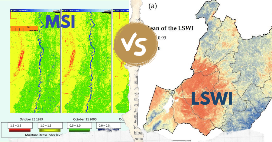
In the realm of remote sensing, the Leaf-Water Stress Index (LSWI) and the Moisture Stress Index (MSI) stand out as key tools for assessing vegetation …
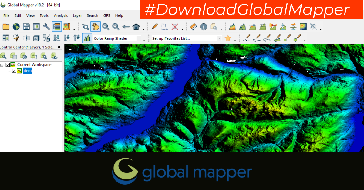
GLOBAL MAPPER PRO: A QUICK OVERVIEW Global Mapper Pro is robust geospatial software designed to meet the needs of various users, from GIS professionals and …
In the rapidly evolving world of Geographic Information Systems (GIS), having a recognized certification can be a game-changer for professionals seeking to advance their careers …
The Geographic Information System (GIS) industry in Pakistan has witnessed remarkable growth in recent years. With increasing awareness of the importance of spatial data and …
In the realm of Geographic Information Systems (GIS), the efficient management and dissemination of geospatial data are of paramount importance. The Open Geospatial Consortium (OGC) …