A Comprehensive Guide to Adding Shapefile Layers in ArcGIS Online
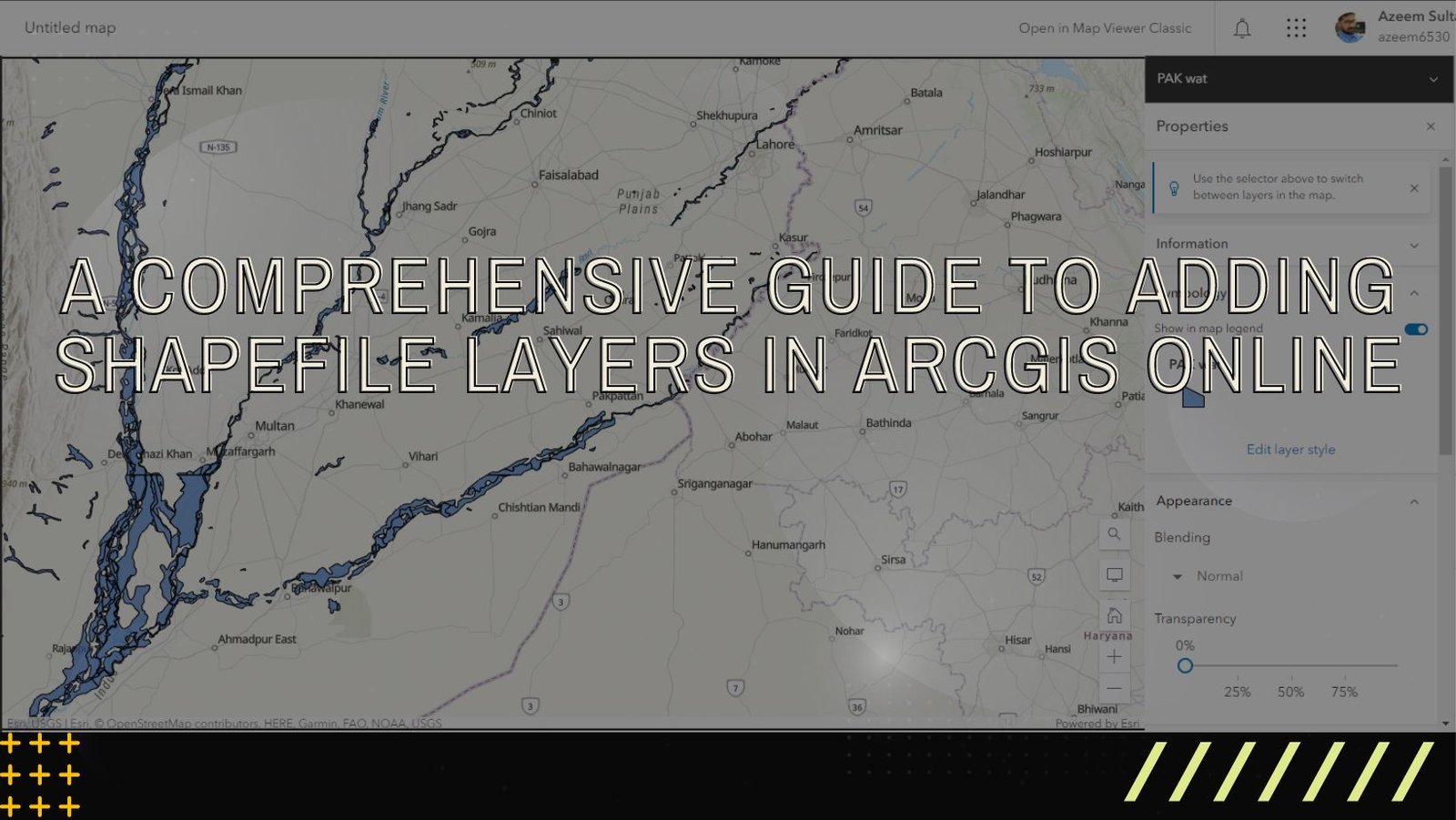
ArcGIS Online is a versatile and user-friendly platform that enables users to explore, analyze, and share geographic data. One of the fundamental tasks in ArcGIS …
ArcGIS Online is a versatile and user-friendly platform that enables users to explore, analyze, and share geographic data. One of the fundamental tasks in ArcGIS …
In today’s world, where technology is advancing at an unprecedented pace, there are various tools available to capture and analyze spatial data. Two prominent methods …
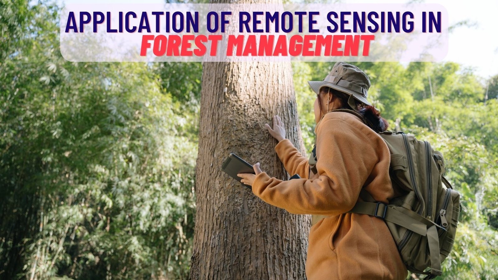
Forests are an essential part of our planet’s ecosystem. They provide us with a variety of benefits, including clean air, water, and timber. However, forests …

Remote sensing technology has revolutionized our ability to observe and understand the Earth’s surface from space. High-resolution satellite imagery plays a crucial role in various …
Introduction: In the vast landscape of technology and information management, two fields often coexist but serve different purposes: Computer Science and Geographic Information Systems (GIS). …
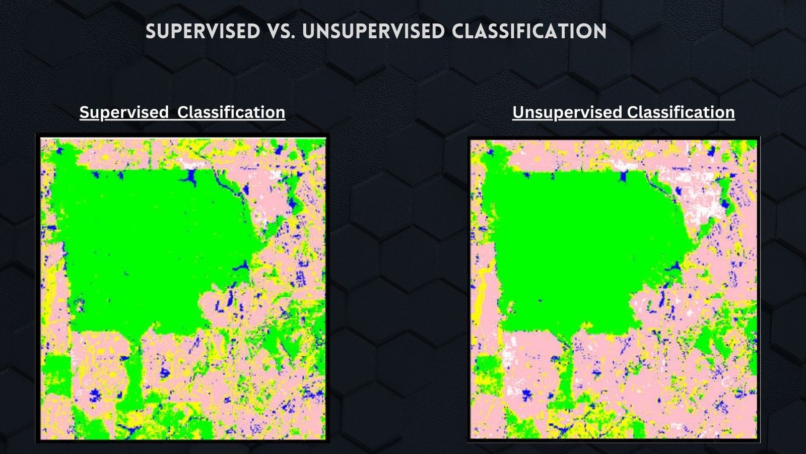
Supervised and unsupervised classification are two different approaches used in remote sensing and image analysis for classifying and categorizing pixels or objects within an image. …

Geographic Information Systems (GIS) have revolutionized various industries, and the medical field is no exception. GIS technology, which combines spatial data with advanced analytics, has …
Landuse mapping plays a crucial role in the sustainable development of any region, providing valuable insights into the distribution and utilization of land resources. Charsadda, …
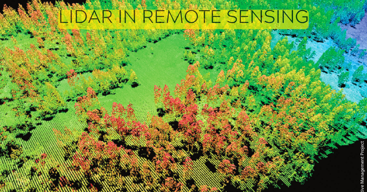
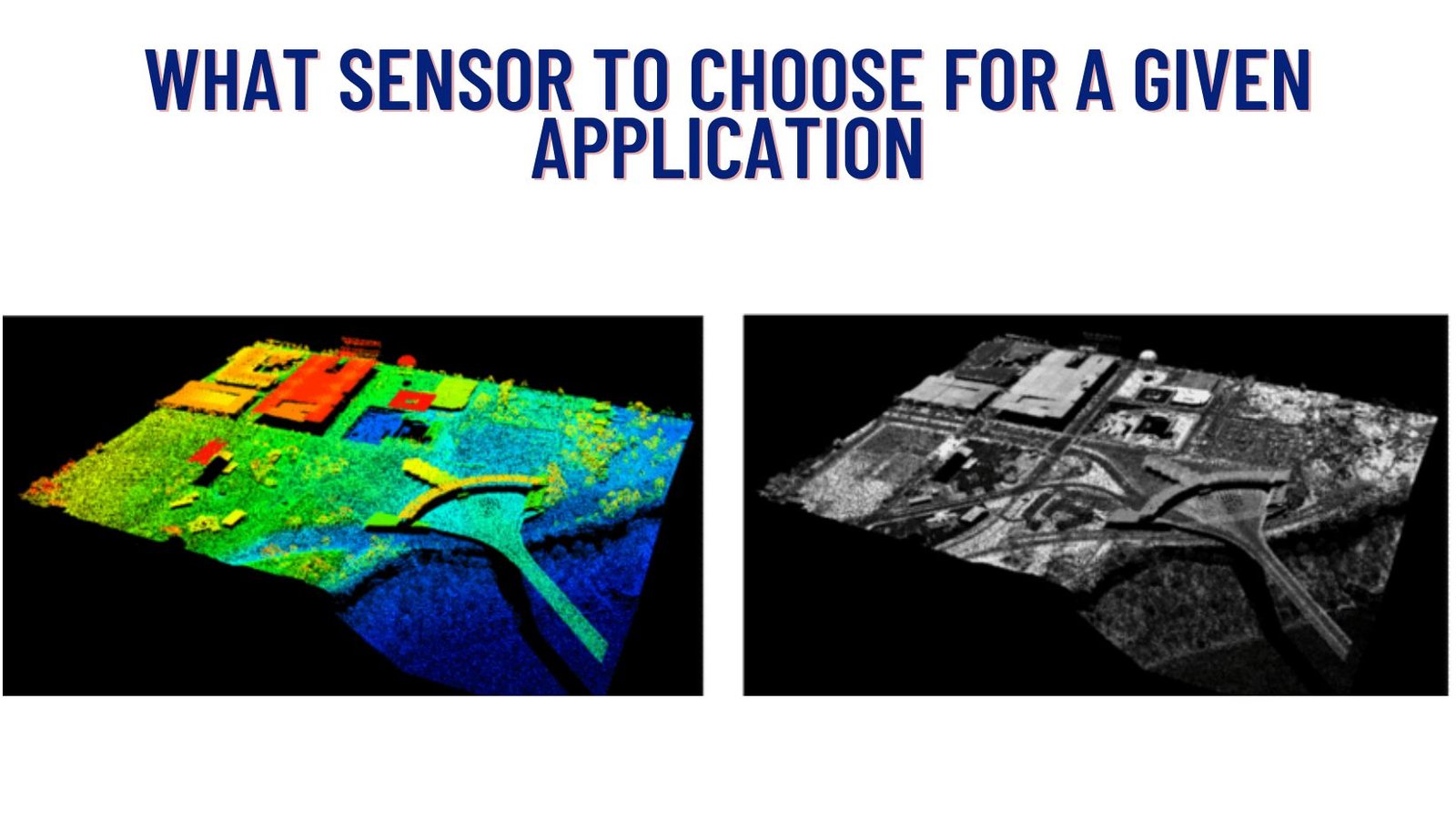
Lidar is a remote sensing technology that uses light to measure distance to objects and surfaces. It is a powerful tool for collecting data about …
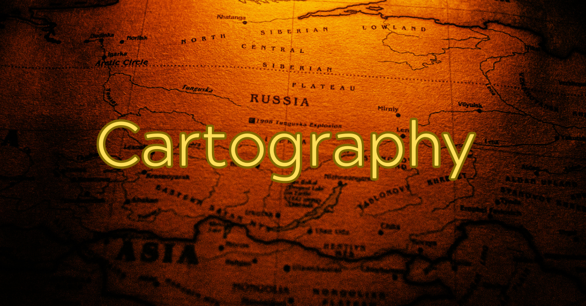
Introduction Cartography, the art and science of mapmaking, has played a pivotal role in human history for centuries. From ancient explorations to modern navigation systems, …